Ski resorts France

")
Orientation (Trail map, information boards, sign-postings) Les Arcs/Peisey-Vallandry (Paradiski)

Evaluated by Skiresort.info, the world's largest test portal for ski resorts.
The evaluation is done as follows
Orientation and safety in the ski resort Les Arcs/Peisey-Vallandry (Paradiski)
Trail map and overview maps
The foldable trail map is clearly designed, labeled in great detail and sufficiently large. They are available at all valley stations and information points for free. Attractions, ski huts, restrooms, information points and rescue stations are well indicated. When the direction of the slope is not clear, there are also small arrows indicating the direction of the slope.
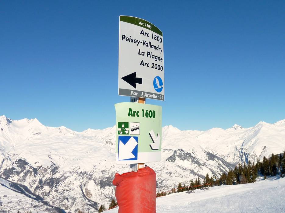
Information boards and sign-postings on the slopes
Especially on the Northwestern slope of the ski resort, it is sometimes difficult to orient yourself between the many parallel running slopes to the different villages at the foot of Les Arcs. An exemplary sign-posting system provides assistance: all intersections and turn-offs are uniformly sign-posted with names and difficulty levels of the slopes as well as the lifts and villages that can be accessed. The signs are clearly designed and not easily overlooked. The name of the particular slope is also posted on slope border poles in regular intervals. Large information boards are found at all major intersections of the ski resort with green and red lights indicating the opening status of the lifts and runs.
Trail map

Les Arcs/Peisey-Vallandry Season 2023/2024

Paradiski Season 2023/2024


Feedback for the Skiresort.info Team? Please use this form »

Select specific criteria
Top evaluation criteria
Further evaluation criteria
Orientation (trail map, information boards, sign-postings)
Evaluation criteria for special interests
Feedback for the Skiresort.info Team? Please use this form »
Book this ski resort
Test Reports


Tips for the ski holiday

