Ski resorts Italy


Route planner Latemar – Obereggen/Pampeago/Predazzo
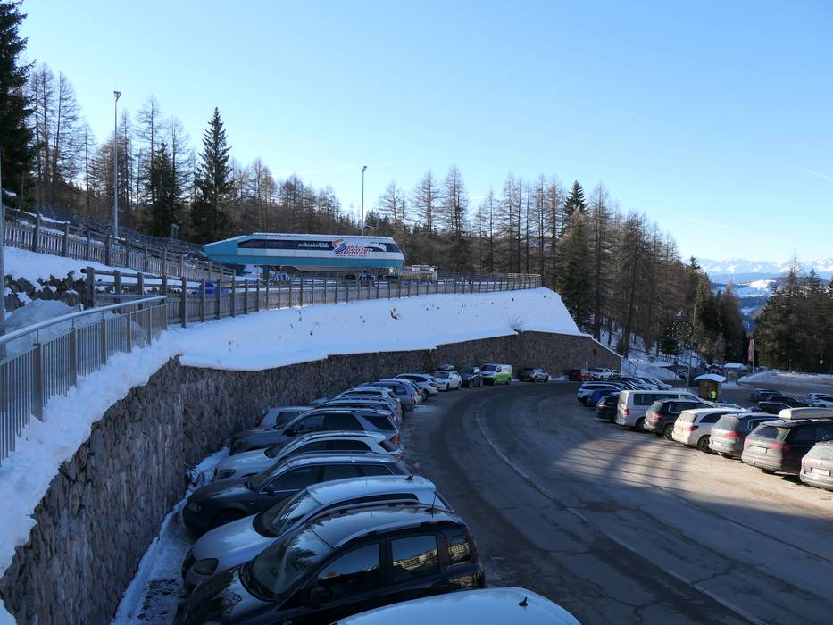
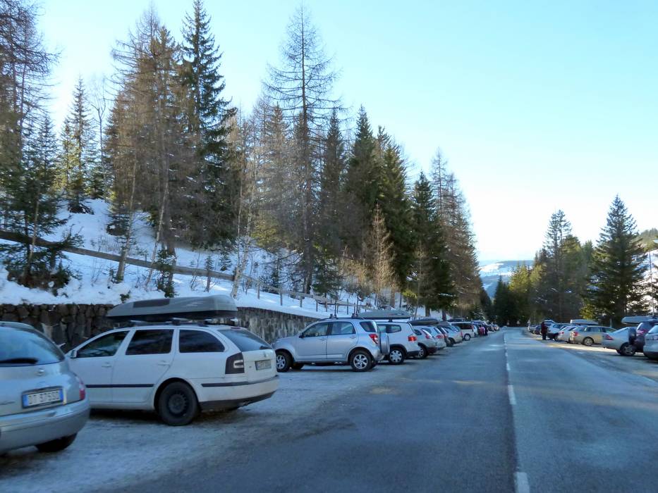
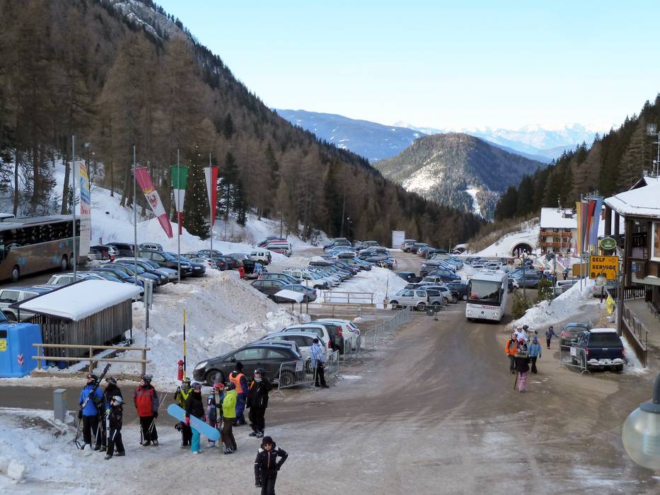
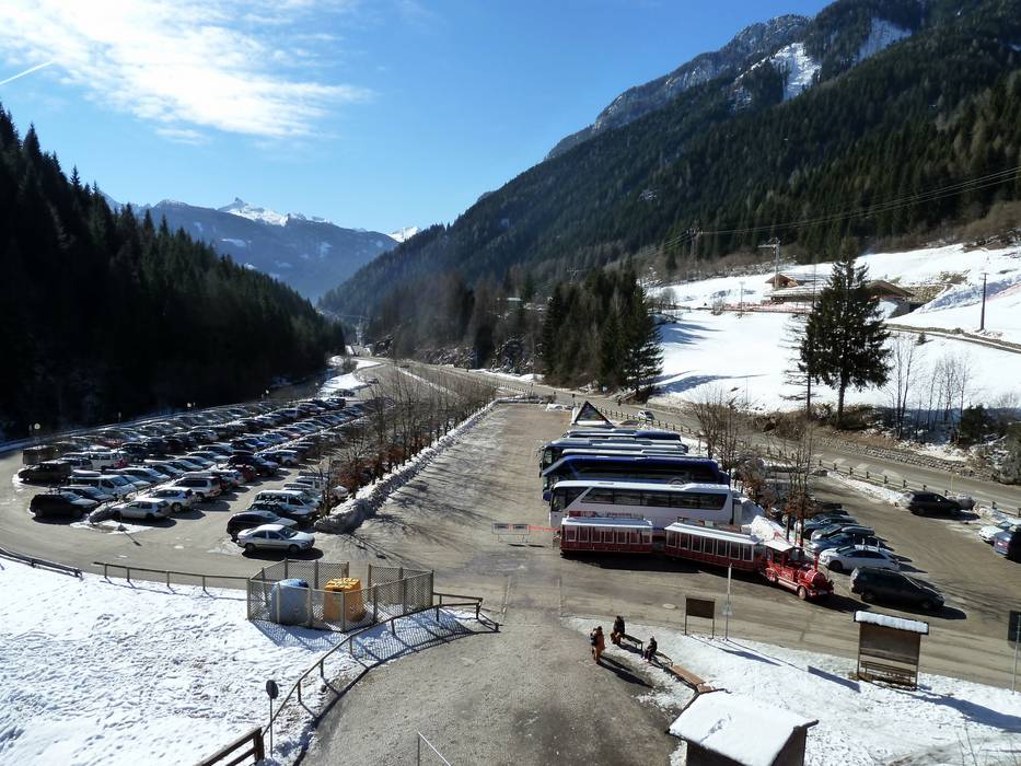
Access Latemar – Obereggen/Pampeago/Predazzo & on-site parking
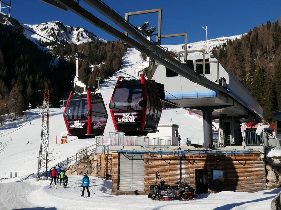
The ski resort is located in the Eggental (Val d’Ega) in the southern part of South Tyrol and extends into Val di Fiemme in Trentino. The ski resort can be accessed easily from the Bozen (Bolzano) Nord exit of the Brennerautobahn motorway on a well-constructed mountain road to Obereggen. It takes about 20 minutes from the Bozen (Bolzano) Nord exit to reach Obereggen. On busy days, a free shuttle bus provides transportation from the car park in Obereggen. The villages of Pampeago and Predazzo are accessed via mountain roads. When coming from the south, the recommended route is via the Brennerautobahn motorway, Neumarkt-Auer-Tramin exit. All car parks at the base stations are free of charge.Access via
- Brenner Autobahn, Exit Bozen Nord (Bolzano North)
21 km approx. 23 min » - Autobahn A22 Brenner-Verona, Ausfahrt Neumarkt-Auer-Tramin
37 km approx. 45 min »
Mobility on-site
- Ski buses
- Scheduled buses
- Ski buses provide connections throughout the Eggental (Val d’Ega) and Obereggen. Val di Fiemme (Fleimstal) also offers a ski bus service to Predazzo and Pampeago.
Access via Brenner Autobahn, Exit Bozen Nord (Bolzano North)
21 km Distance - approx. 23 Minutes driving time
Destination - Obereggen 16, 39050 Obereggen (Deutschnofen), Italy
- Ideal entry for day visitors
- View on Google Maps
- enough available, tarmac car park, gravel car park
- free of charge
- Main street, Mountain road, well-developed, with significant incline
- Snow chains sometimes required by snowfall
- Road closure due to avalanches unlikely
")
Access via Autobahn A22 Brenner-Verona, Ausfahrt Neumarkt-Auer-Tramin
37 km Distance - approx. 45 Minutes driving time
Destination - Località Pampeago, 38038 Alpe di Pampeago (Tesero), Italy
- Ideal entry for day visitors
- View on Google Maps
- usually enough available, tarmac car park, gravel car park
- free of charge
- Mountain road, well-developed
- Snow chains sometimes required by snowfall
- Road closure due to avalanches unlikely
")
40 km Distance - approx. 43 Minutes driving time
Destination - SS48, 38037 Predazzo, Italy
- Ideal entry for day visitors
- View on Google Maps
- enough available, tarmac car park
- free of charge
- Mountain road, well-developed, with significant incline
- Snow chains sometimes required by snowfall
- Road closure due to avalanches unlikely

 Access to ski resort
  Town/village close to ski resort
  Traffic Junction
 All information is supplied without guarantee
The maps are provided by Google with the following information: „These directions are for planning purposes only. You may find that construction projects, traffic, weather, or other events may cause conditions to differ from the map results, and you should plan your route accordingly. You must obey all signs or notices regarding your route.“
Feedback for the Skiresort.info Team? Please use this form »
Book this ski resort


")