Ski resorts Austria


Orientation (Trail map, information boards, sign-postings) Zillertal Arena – Zell am Ziller/Gerlos/Königsleiten/Hochkrimml

Evaluated by Skiresort.info, the world's largest test portal for ski resorts.
The evaluation is done as follows
Orientation and safety in the ski resort Zillertal Arena – Zell am Ziller/Gerlos/Königsleiten/Hochkrimml
Trail map and overview maps
There is an abundance of information about the ski resort on the piste map. For the size of the ski resort, the piste map is very easy to read. The slopes are all indicated with numbers. It would be useful to show on the map which chairlifts have weather-protection covers. The piste map is available in several languages including German, English, Dutch, French, Russian, Polish and Czech.
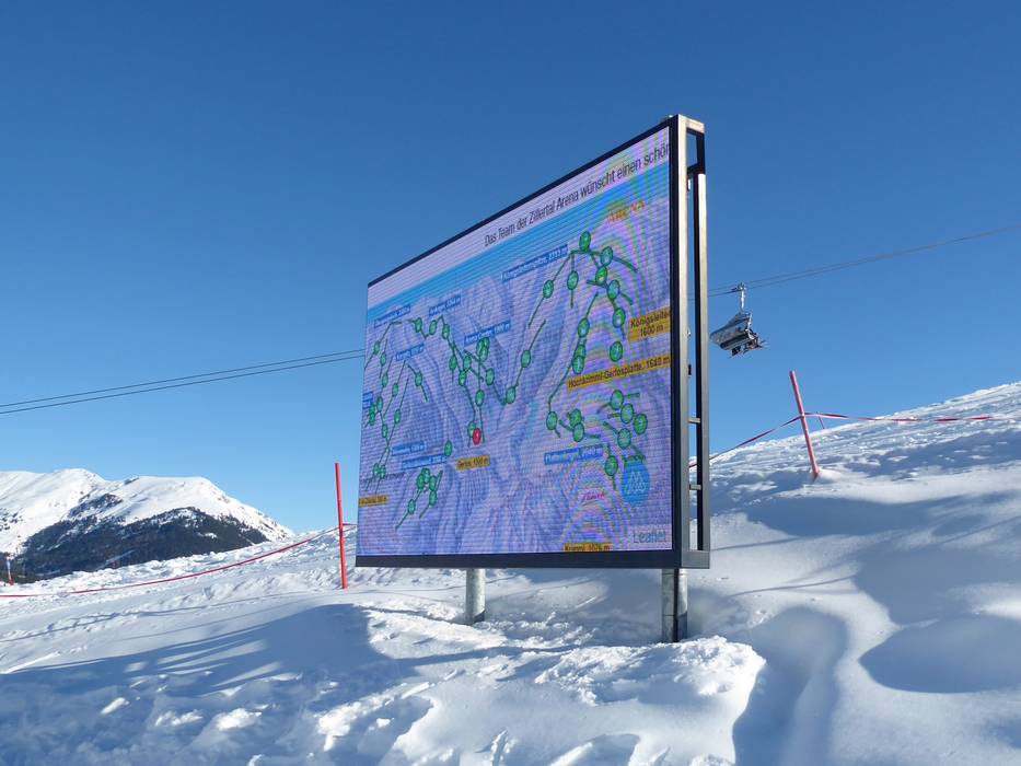
Information boards and sign-postings on the slopes
Signposting is very good throughout the ski resort, with piste maps at every junction and signs towards the main towns. Digital displays with live statuses make it very easy to find your way. The WiFi hotspots are clearly marked and the WiFi works very well.
Trail map

Zillertal Arena – Zell am Ziller/Gerlos/Königsleiten/Hochkrimml Season 2023/2024


Feedback for the Skiresort.info Team? Please use this form »

Select specific criteria
Top evaluation criteria
Further evaluation criteria
Orientation (trail map, information boards, sign-postings)
Evaluation criteria for special interests
Feedback for the Skiresort.info Team? Please use this form »
Book this ski resort
Test Reports

