
Evaluated by Skiresort.info, the world's largest test portal for ski resorts.
The evaluation is done as follows
Orientation (Trail map, information boards, sign-postings) and safety in the ski resort Whakapapa – Mt. Ruapehu
Trail map and overview maps
The piste map provides an excellent overview of the Whakapapa ski area. All lifts, slopes, dining options, and parking areas are clearly marked. The base station area and Happy Valley are also described in detail.
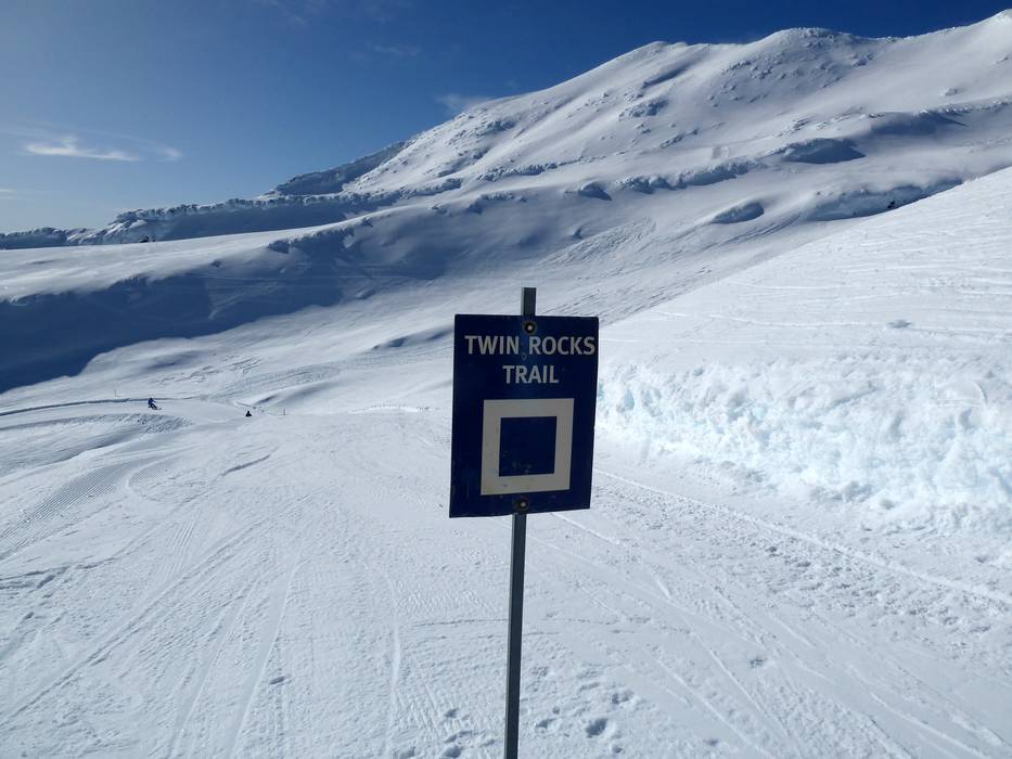
Information boards and sign-postings on the slopes
The slopes are often signposted, but more signs could be installed. In addition, you can find information on how to behave in the event of a volcanic eruption. Current operating information can be found on the Whakapapa website via mobile.
Trail map

Whakapapa Season 2025
Top Orientation


10 strengths of this ski resort


Feedback for the Skiresort.info Team? Please use this form
Select specific criteria
Top evaluation criteria
Further evaluation criteria
Orientation (trail map, information boards, sign-postings)
Evaluation criteria for special interests
Feedback for the Skiresort.info Team? Please use this form
Book this ski resort
Test Reports
Tips for the ski holiday