Ski resorts Germany

")
Orientation (Trail map, information boards, sign-postings) Unternberg (Ruhpolding)
Evaluated by Skiresort.info, the world's largest test portal for ski resorts.
The evaluation is done as follows
Orientation and safety in the ski resort Unternberg (Ruhpolding)
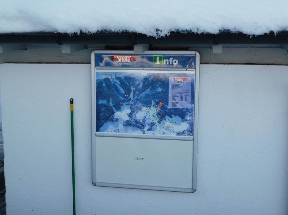
Trail map and overview maps
There is no paper trail map available. There is only a flyer with information about the ski area including the prices.
Information boards and sign-postings on the slopes
There are almost no sign-postings on the Unternberg, but there are trail maps at the base stations of the tow lifts.
Trail map
")
Unternberg Ruhpolding (Meine Bergwelt) Season 2023/2024

Feedback for the Skiresort.info Team? Please use this form »

Select specific criteria
Top evaluation criteria
Further evaluation criteria
Orientation (trail map, information boards, sign-postings)
Evaluation criteria for special interests
Feedback for the Skiresort.info Team? Please use this form »
Book this ski resort
Test Reports


Tips for the ski holiday

