Ski resorts Switzerland


Orientation (Trail map, information boards, sign-postings) Titlis – Engelberg

Evaluated by Skiresort.info, the world's largest test portal for ski resorts.
The evaluation is done as follows
Orientation and safety in the ski resort Titlis – Engelberg
Trail map and overview maps
The piste map provides a very clear overview of the Engelberg ski resorts (Titlis and Brunni). It shows all slopes, lifts, altitudes, restaurants, cross-country trails and hiking paths. It also includes information on opening hours and prices. Additional information for the summer season is provided on the reverse. More detailed information on the individual slope names and lift names would be useful.
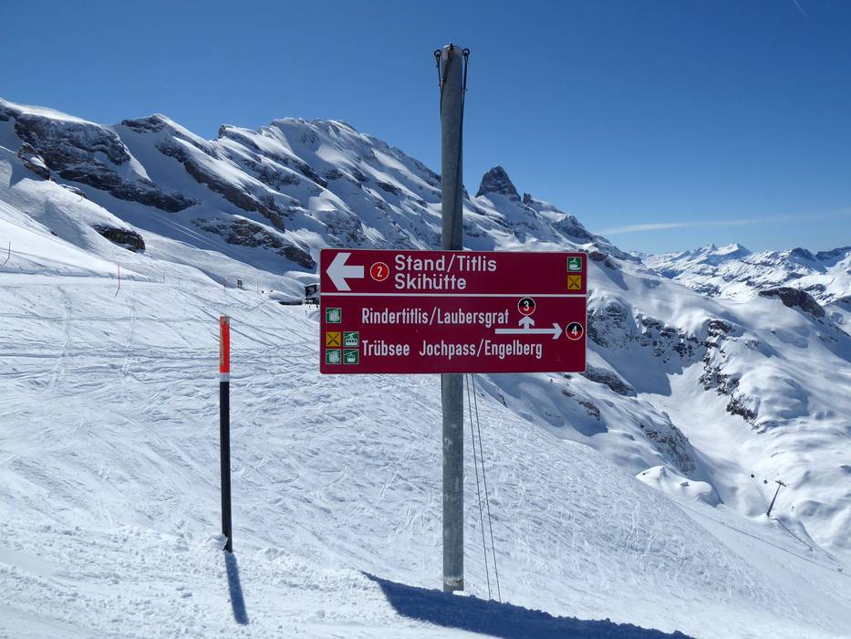
Information boards and sign-postings on the slopes
Signposting in the ski resort is very good. Directional signs, and in some cases piste maps, are provided at all intersections. Modern screens provide updated information at the individual lift stations.
Trail map

Titlis – Engelberg Season 2023/2024


Feedback for the Skiresort.info Team? Please use this form »

Select specific criteria
Top evaluation criteria
Further evaluation criteria
Orientation (trail map, information boards, sign-postings)
Evaluation criteria for special interests
Feedback for the Skiresort.info Team? Please use this form »
Book this ski resort
Test Reports


Tips for the ski holiday

