Ski resorts Austria


Route planner Tauplitz – Bad Mitterndorf
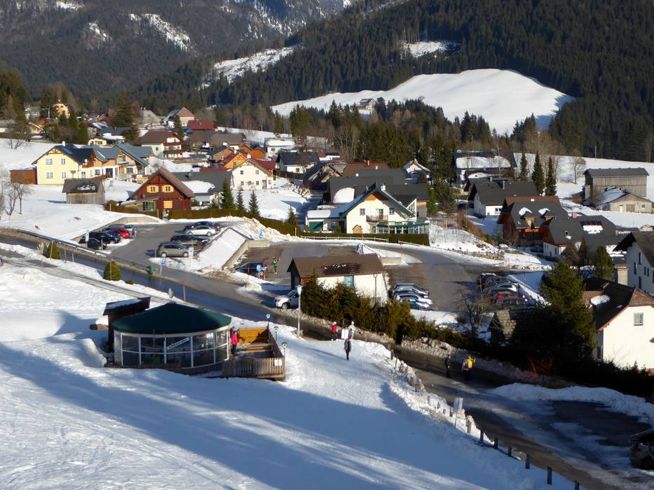
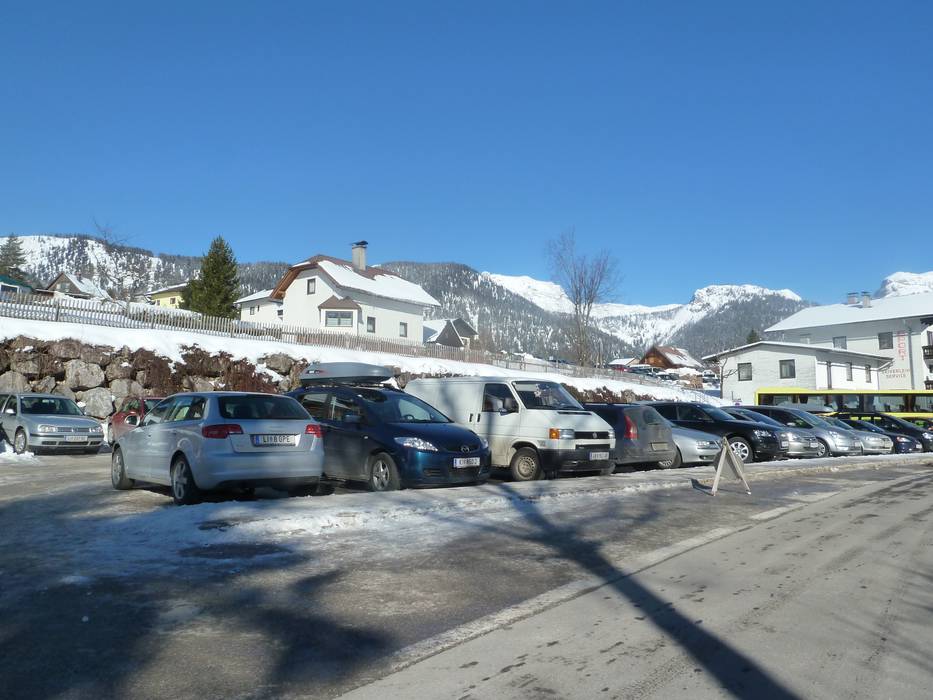
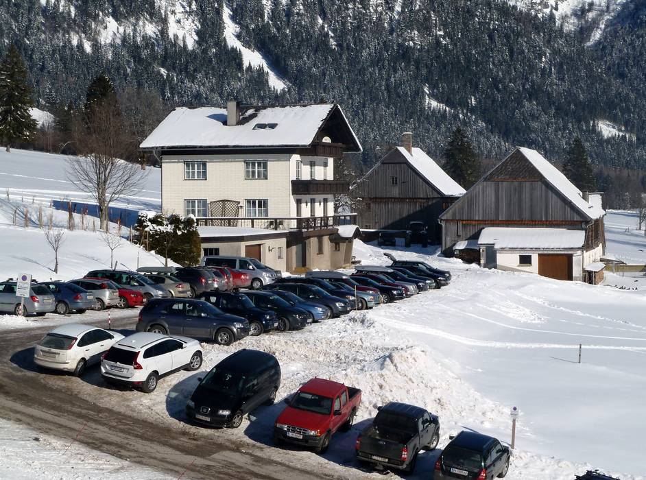
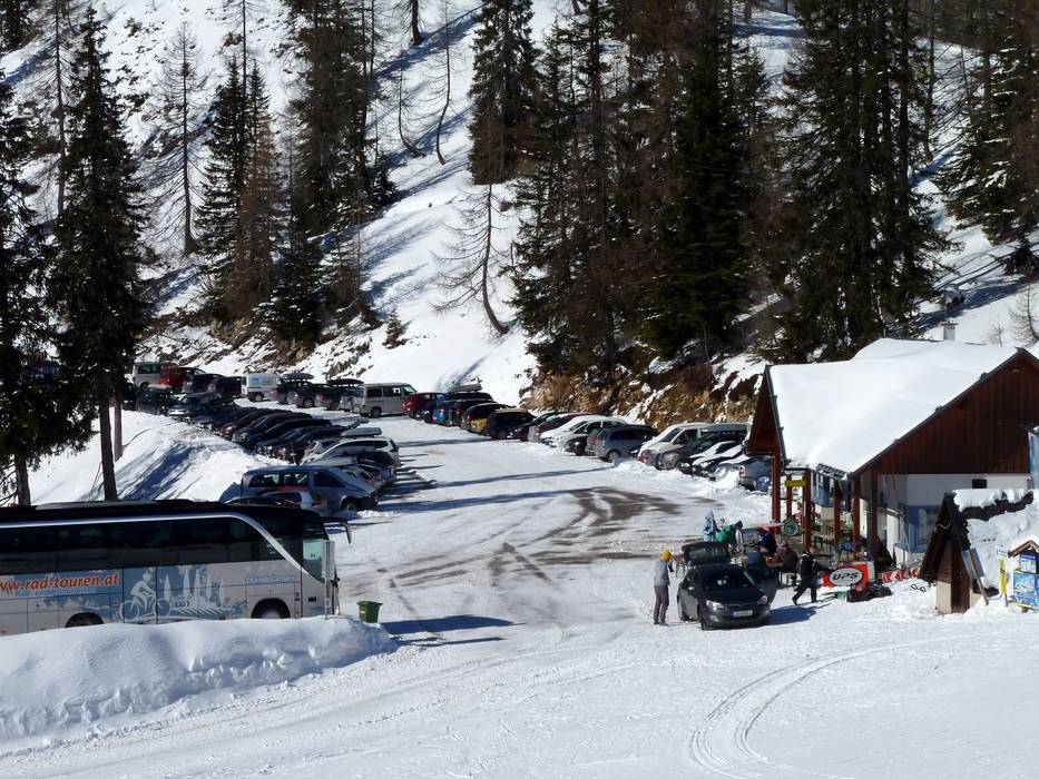
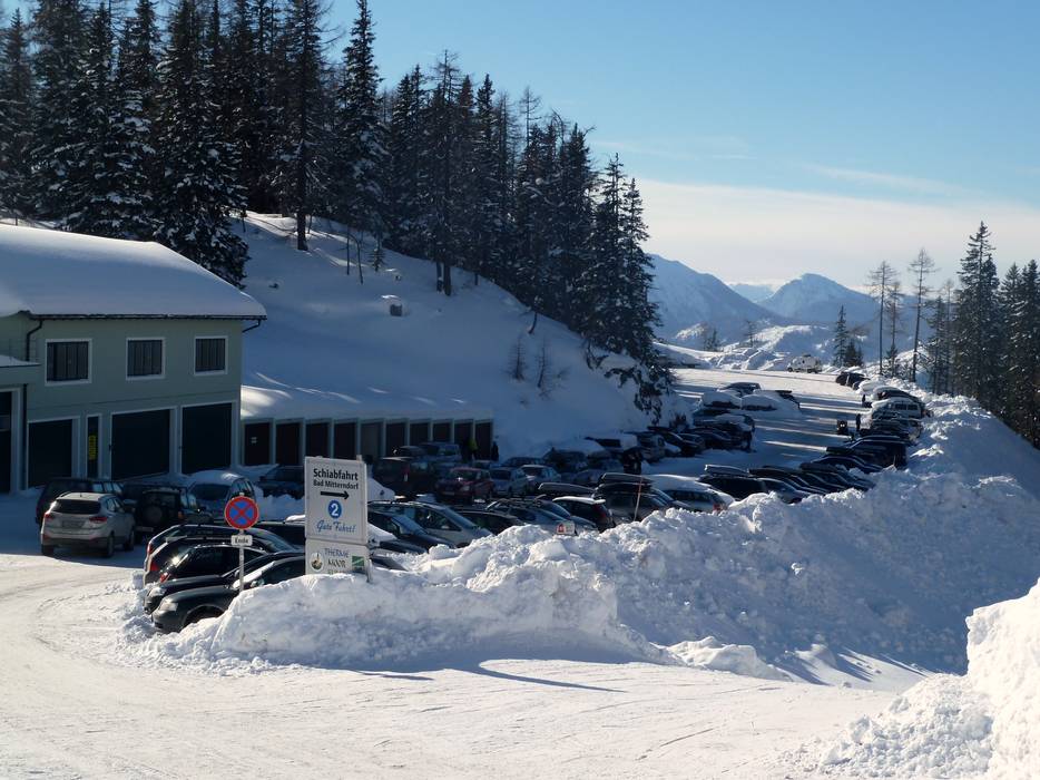
Access Tauplitz – Bad Mitterndorf & on-site parking
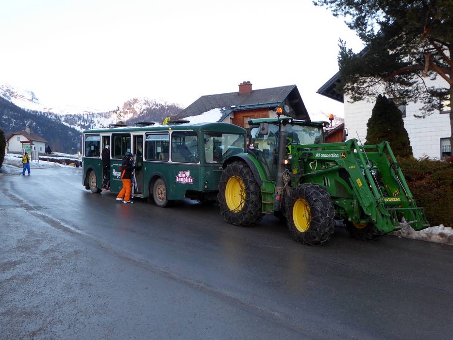
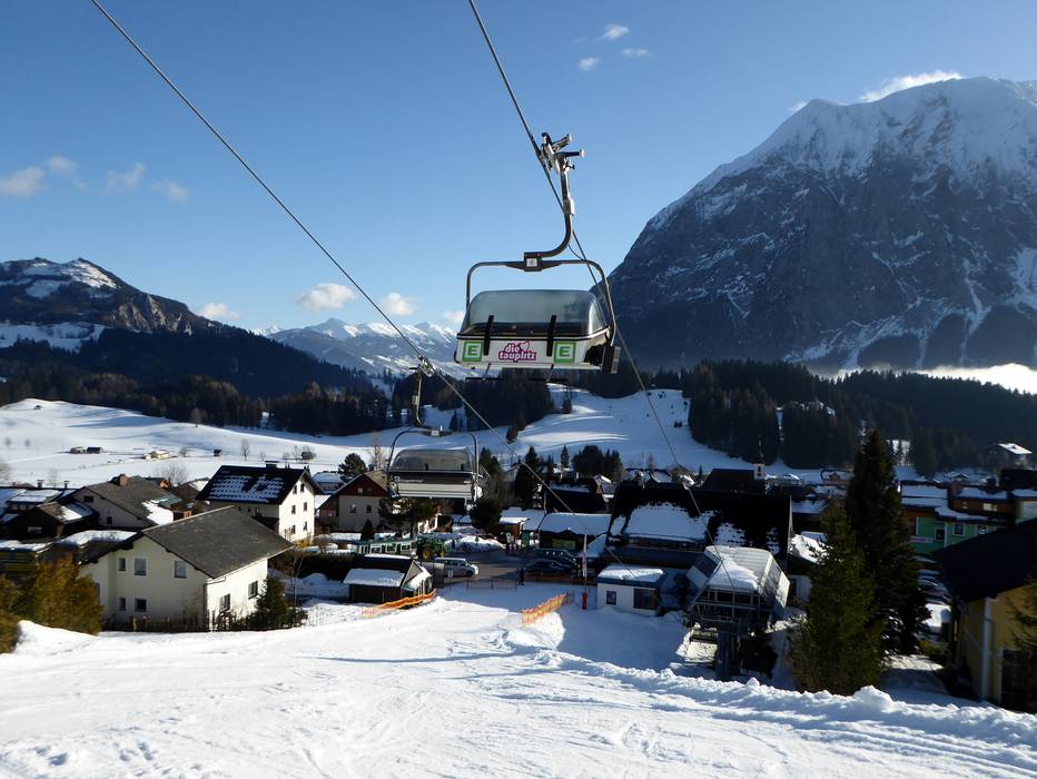
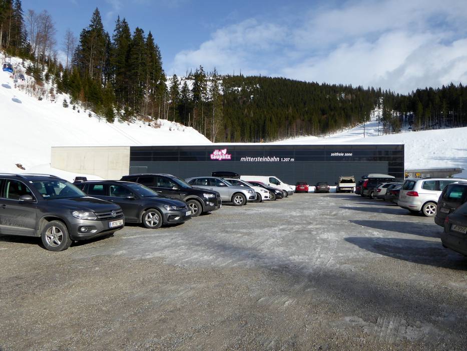
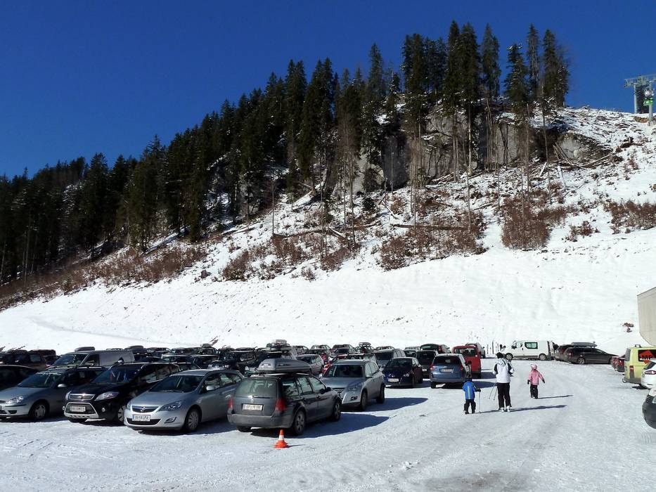
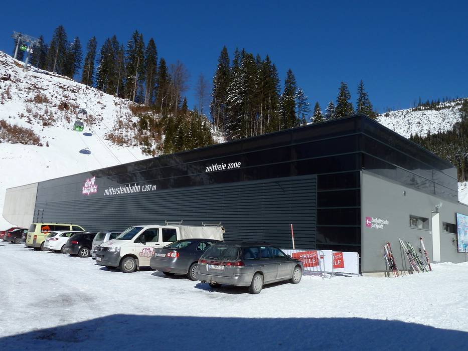
The ski resort can generally be accessed from all directions via the Ennstal valley, from either Radstadt in the west or Liezen in the east. A well-built road then leads up to Tauplitz. The best access point is at the Tauplitzbahn I lift in Tauplitz. From here, a tractor bus (Tauplitz ski train) transports you to the base station from more distant parking areas. There is also the option of parking in Bad Mitterndorf and taking the ski bus to the Mittersteinbahn lift. If you prefer, you can drive along the Tauplitzalm Alpenstrasse to the Mittersteinbahn lift and park there. The toll is not applicable for holders of a valid ski pass. Additional parking spaces can be found further up the Tauplitzalmstraße road at the Hollhaus lift.Access via
- A9 Pyhrn Autobahn, Exit Liezen
28 km approx. 25 min » - A10 Tauern Autobahn, Exit 63 Altenmarkt
67 km approx. 53 min » - A1 Westautobahn Salzburg-Wien, Ausfahrt Mondsee
87 km approx. 80 min »
Mobility on-site
- Ski buses
- Scheduled buses
- The free Tauplitz ski train operates in Tauplitz. A ski bus runs from Bad Mitterdorf to the Mittersteinbahn lift and Tauplitzalm.
Access via A9 Pyhrn Autobahn, Exit Liezen
28 km Distance - approx. 25 Minutes driving time
Destination - Tauplitz, 8982 Tauplitz, Austria
- Ideal entry for day visitors
- View on Google Maps
- usually enough available, tarmac car park, gravel car park
- free of charge

35 km Distance - approx. 34 Minutes driving time
Destination - Tauplitzalmstraße, 8983 Bad Mitterndorf, Austria
- Entry suitable for day visitors
- View on Google Maps
- limited amount available, gravel car park
- free of charge

40 km Distance - approx. 41 Minutes driving time
Destination - Tauplitzalmstraße, 8982 Tauplitz, Austria
- Entry suitable for day visitors
- View on Google Maps
- limited amount available, gravel car park
- free of charge
- Main street, Side road, Mountain road, partially developed, with significant incline
- Snow chains required very often by snowfall
- Road closure due to avalanches sometimes possible

Access via A10 Tauern Autobahn, Exit 63 Altenmarkt
67 km Distance - approx. 53 Minutes driving time
Destination - Tauplitz, 8982 Tauplitz, Austria
- Ideal entry for day visitors
- View on Google Maps
- usually enough available, tarmac car park, gravel car park
- free of charge
75 km Distance - approx. 60 Minutes driving time
Destination - Tauplitzalmstraße, 8983 Bad Mitterndorf, Austria
- Entry suitable for day visitors
- View on Google Maps
- limited amount available, gravel car park
- free of charge
80 km Distance - approx. 69 Minutes driving time
Destination - Tauplitzalmstraße, 8982 Tauplitz, Austria
- Entry suitable for day visitors
- View on Google Maps
- limited amount available, gravel car park
- free of charge
- Main street, Side road, Mountain road, partially developed, with significant incline
- Snow chains often required by snowfall
- Road closure due to avalanches sometimes possible
Access via A1 Westautobahn Salzburg-Wien, Ausfahrt Mondsee
87 km Distance - approx. 80 Minutes driving time
Destination - Tauplitzalmstraße, 8983 Bad Mitterndorf, Austria
- Entry suitable for day visitors
- View on Google Maps
- limited amount available, gravel car park
- free of charge
- Main street, Mountain road, well-developed
- Snow chains sometimes required by snowfall
- Road closure due to avalanches unlikely
 Access to ski resort
  Town/village close to ski resort
  Traffic Junction
 All information is supplied without guarantee
The maps are provided by Google with the following information: „These directions are for planning purposes only. You may find that construction projects, traffic, weather, or other events may cause conditions to differ from the map results, and you should plan your route accordingly. You must obey all signs or notices regarding your route.“
Feedback for the Skiresort.info Team? Please use this form »
Book this ski resort


