Ski resorts Slovakia


Orientation (Trail map, information boards, sign-postings) Tatranská Lomnica

Evaluated by Skiresort.info, the world's largest test portal for ski resorts.
The evaluation is done as follows
Orientation and safety in the ski resort Tatranská Lomnica
Trail map and overview maps
The trail map depicts the ski resort well. All lifts and slopes as well as restaurants are included. The pocket map is practical to carry with you. The Starý Smokovec and Štrbské Pleso ski resorts are also included on the map.
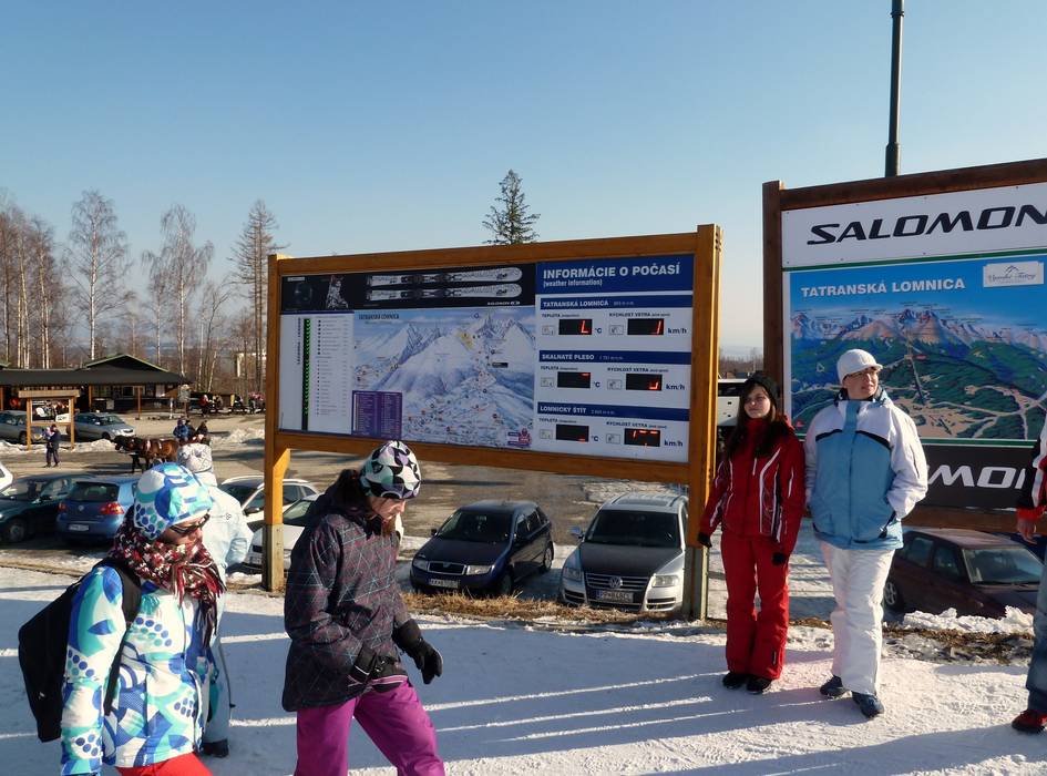
Information boards and sign-postings on the slopes
Information about the opening statuses and weather is available at the base. Flat screens with current information are found at the entrances to the lifts. Sign-postings are found at all slope intersections and it is easy to find your way.
Trail map

Tatranská Lomnica Season 2023/2024


Feedback for the Skiresort.info Team? Please use this form »

Select specific criteria
Top evaluation criteria
Further evaluation criteria
Orientation (trail map, information boards, sign-postings)
Evaluation criteria for special interests
Feedback for the Skiresort.info Team? Please use this form »
Book this ski resort
Test Reports


Tips for the ski holiday

