
Evaluated by Skiresort.info, the world's largest test portal for ski resorts.
The evaluation is done as follows
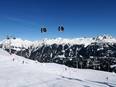
Orientation (Trail map, information boards, sign-postings) and safety in the ski resort St. Anton/St. Christoph/Stuben/Lech/Zürs/Warth/Schröcken – Ski Arlberg
Trail map and overview maps
The Ski Arlberg piste map provides a comprehensive overview of the entire ski area. All ski lifts and pistes are detailed. Due to the extensive range of pistes and lifts, the piste map has become very large and therefore contains a lot of information.
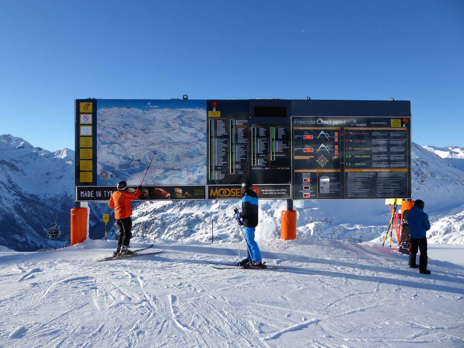
Information boards and sign-postings on the slopes
The overview boards and signposts are excellently distributed throughout the entire ski area. At key points, you will find comprehensive trail maps with up-to-date information on operating status. At most lift entrances, current information is provided.
Trail map

Ski Arlberg Season 2025/2026
Top Orientation


18 strengths of this ski resort


Feedback for the Skiresort.info Team? Please use this form

Select specific criteria
Top evaluation criteria
Further evaluation criteria
Orientation (trail map, information boards, sign-postings)
Evaluation criteria for special interests
Feedback for the Skiresort.info Team? Please use this form
Test Reports
Tips for the ski holiday