Ski resorts Austria

Route planner Sölden
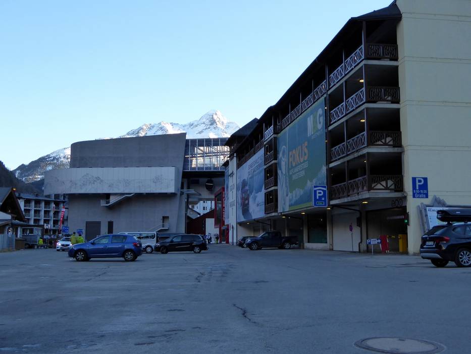
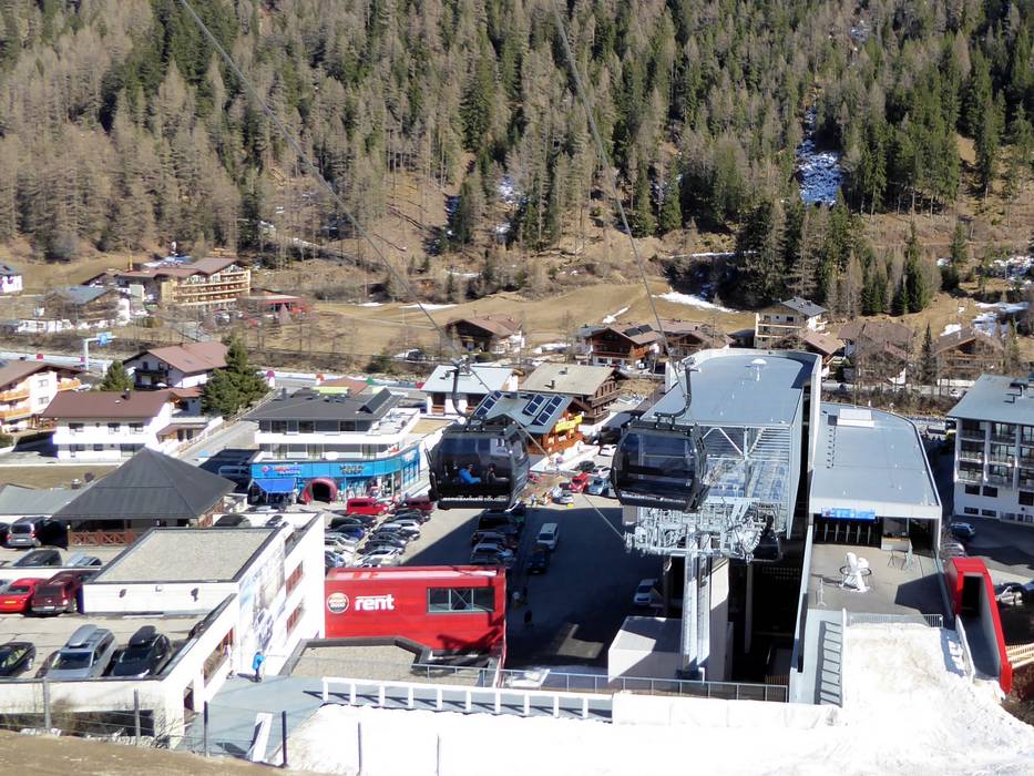
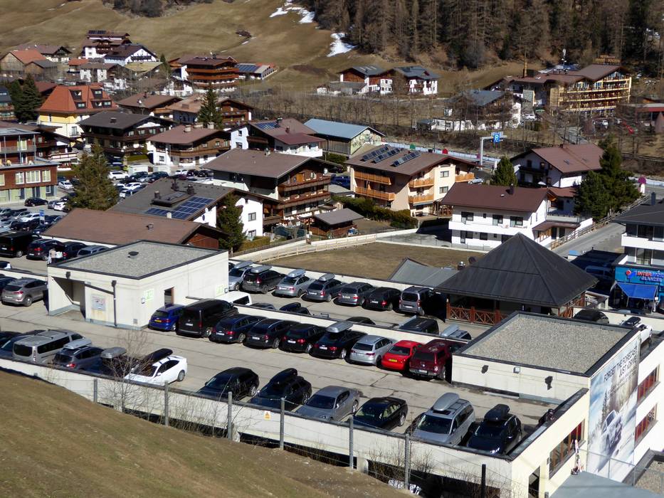
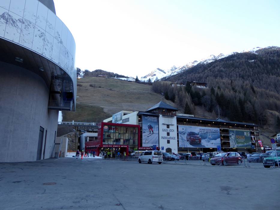
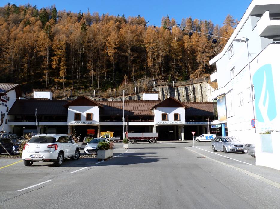
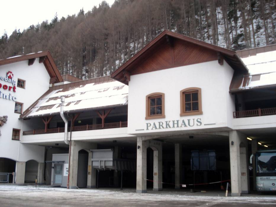
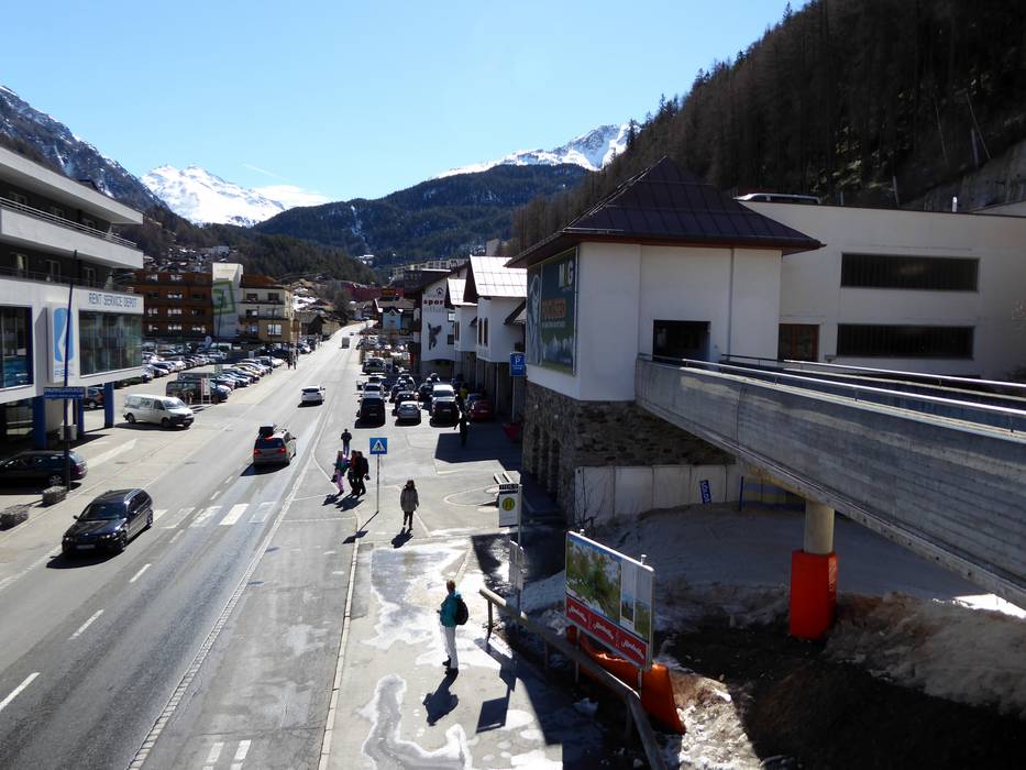
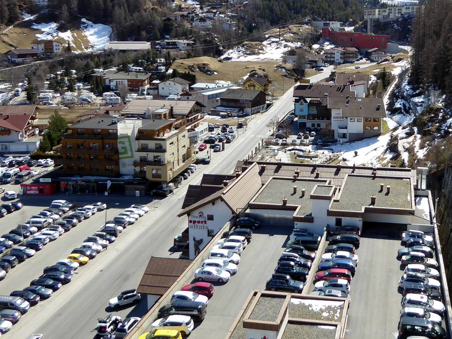
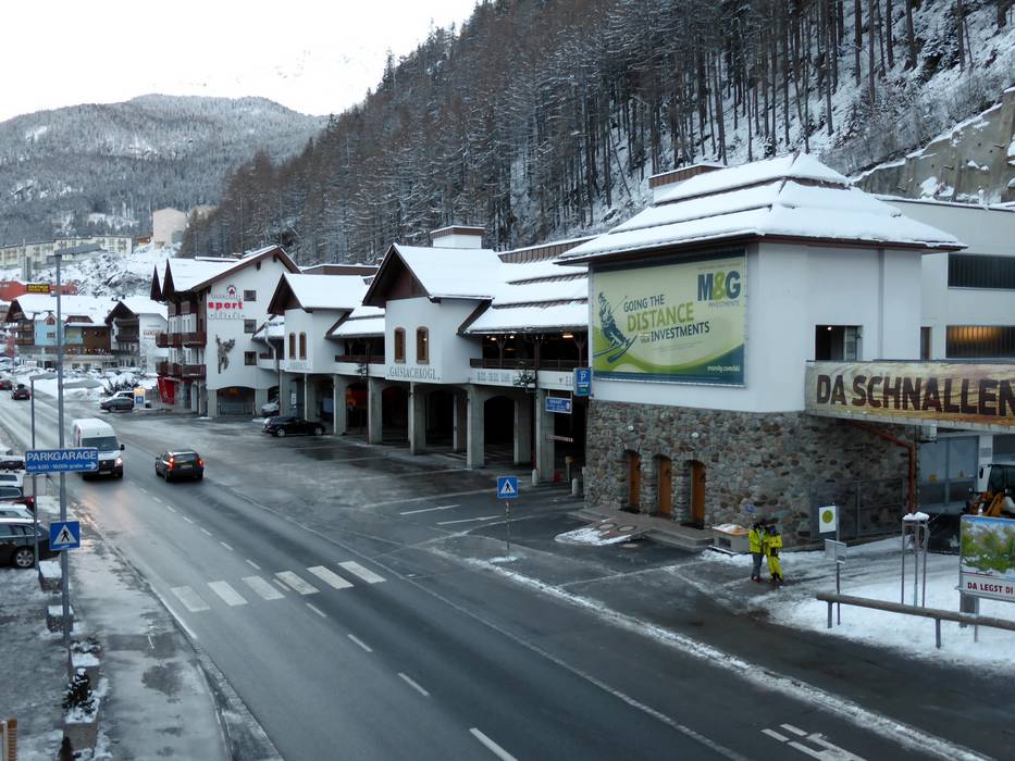
Access Sölden & on-site parking
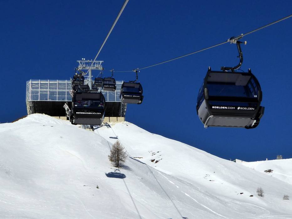
The Sölden ski resort is located in the back section of the Ötztal. The very well-built road from the Inntal Autobahn exit winds about 40 km through the Ötztal. There is usually enough parking (free of charge) on the paved parking lots at the Giggijoch and Gaislachkogl feeder lifts. There is also a free parking garage (each with more than 500 parking spaces) at both lifts. In the spring, summer and fall, you can even drive up to the Rettenbach and Tiefenbach glaciers at 2796 m with your car. The Ötztal Gletscher road up to the glaciers is a toll road. The toll is only applicable for non-skiers, however. Skiers with a valid ski pass can use the road free of charge. Winter Closure
The Timmelsjoch-Hochalpenstrasse (crossing from Italy/South Tyrol) is closed from October until May. The road up to the Rettenbach and Tiefenbachfern glaciers is also closed during the winter. The glacier is only accessible via the "Golden Gate to the Glacier" with skis.
Mobility on-site
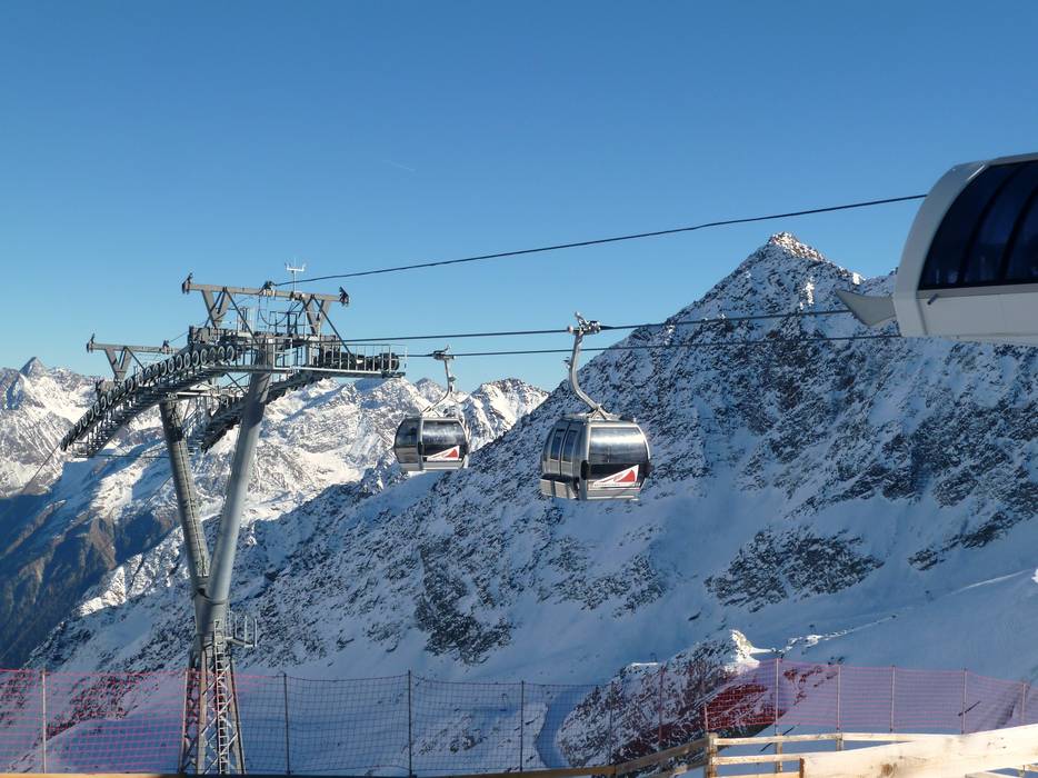
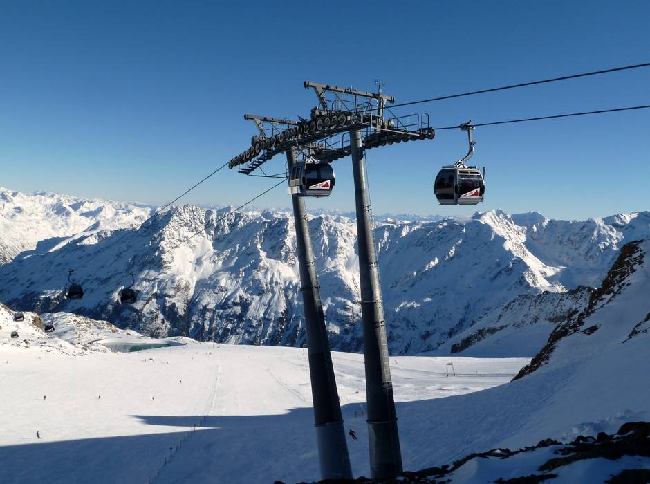
- Comprehensive ski bus network
- Scheduled buses
- Ski buses (free of charge) circulate in the village and from Längenfeld, Zwieselstein and Vent. A ski bus also runs to the glacier as long as the glacier road is open.
Access via A12 Inntal Autobahn, Exit Oetztal
37 km Distance - approx. 37 Minutes driving time
Destination - Giggijochstraße 18, 6450 Sölden, Austria
- Ideal entry for day visitors
- View on Google Maps
- usually enough available, covered car park, tarmac car park
- free of charge
- Main street, Mountain road, well-developed, with significant incline
- Snow chains sometimes required by snowfall
- Road closure due to avalanches sometimes possible

38 km Distance - approx. 39 Minutes driving time
Destination - Wohlfahrt 400, 6450 Sölden, Austria
- Ideal entry for day visitors
- View on Google Maps
- usually enough available, covered car park, tarmac car park
- free of charge
- Main street, Mountain road, well-developed, with significant incline
- Snow chains sometimes required by snowfall
- Road closure due to avalanches sometimes possible

51 km Distance - approx. 52 Minutes driving time
Destination - Gletscherstraße, 6450 Sölden, Austria
- Entry suitable for day visitors
- View on Google Maps
- enough available, tarmac car park
- free of charge
- Main street, Side road, Mountain road, Mountain pass road, well-developed, with significant incline
- Snow chains often required by snowfall
- Road closure due to avalanches often possible

53 km Distance - approx. 57 Minutes driving time
Destination - Gletscherstraße, 6450 Sölden, Austria
- Entry suitable for day visitors
- View on Google Maps
- enough available, tarmac car park
- free of charge
- Main street, Side road, Mountain road, Mountain pass road, well-developed, with significant incline
- Snow chains often required by snowfall
- Road closure due to avalanches often possible

 Access to ski resort
  Town/village close to ski resort
  Traffic Junction
 All information is supplied without guarantee
The maps are provided by Google with the following information: „These directions are for planning purposes only. You may find that construction projects, traffic, weather, or other events may cause conditions to differ from the map results, and you should plan your route accordingly. You must obey all signs or notices regarding your route.“
Feedback for the Skiresort.info Team? Please use this form »
Book this ski resort

Tips for the ski holiday


