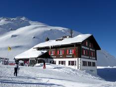
Orientation (Trail map, information boards, sign-postings) and safety in the ski resort Andermatt/Oberalp/Sedrun
Trail map and overview maps
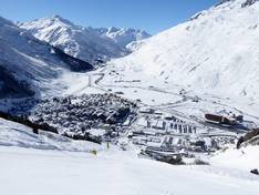
The piste map covers the entire Andermatt Sedrun Disentis holiday region, including the towns of Andermatt, Sedrun, Disentis, Hospental, and Realp. You can clearly see the individual ski areas, the altitude information is clear, and the Matterhorn-Gotthard-Bahn (MGB) is marked with all stations. Dining options and other useful information are described on the back of the map. Unfortunately, detailed information about the lifts is missing.
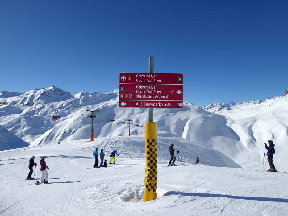
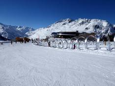
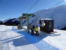
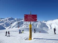
Information boards and sign-postings on the slopes
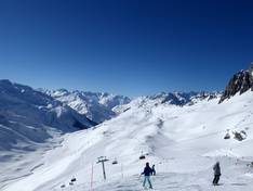
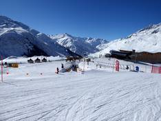
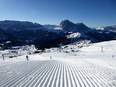
The slopes are very well signposted and it's easy to find your way around. At the valley stations, you will find up-to-date information and illuminated boards. The slopes are marked in detail with brightly colored boundaries. This means you can find your way even in foggy conditions in high alpine terrain.