
Evaluated by Skiresort.info, the world's largest test portal for ski resorts.
The evaluation is done as follows
Orientation (Trail map, information boards, sign-postings) and safety in the ski resort Diedamskopf – Schoppernau
Trail map and overview maps
The slope map is clear and accurately represents the conditions. It would be helpful to include the length of the slopes.
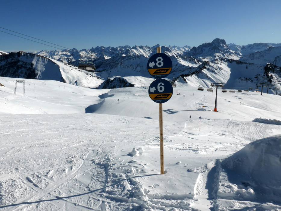
Information boards and sign-postings on the slopes
At the stations of the gondola lift, modern boards display the current slope status. Additional large overview maps can be found at the chairlifts. The slopes are marked with numerous signs; at junctions, signposts indicate possible destinations and routes. Intersections and challenging slopes are marked with warning signs.
Trail map

Diedamskopf – Schoppernau Season 2025/2026
Top Orientation


11 strengths of this ski resort


Feedback for the Skiresort.info Team? Please use this form
Select specific criteria
Top evaluation criteria
Further evaluation criteria
Orientation (trail map, information boards, sign-postings)
Evaluation criteria for special interests
Feedback for the Skiresort.info Team? Please use this form
Book this ski resort
Test Reports

Tips for the ski holiday