Ski resorts France


Orientation (Trail map, information boards, sign-postings) Saint-Lary-Soulan

Evaluated by Skiresort.info, the world's largest test portal for ski resorts.
The evaluation is done as follows
Orientation and safety in the ski resort Saint-Lary-Soulan
Trail map and overview maps
The piste map provides a clear view of the ski resort of Saint-Lary-Soulan including all slopes and lifts. More detailed information about the individual lifts would be helpful. Additional information about the ski resort can be found on the back.
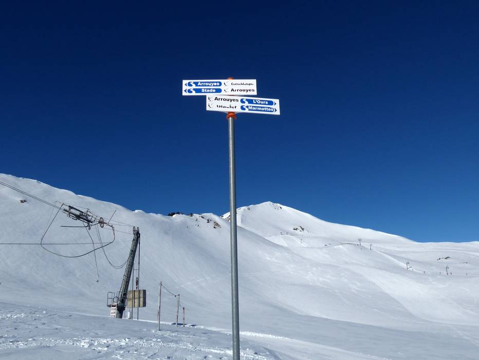
Information boards and sign-postings on the slopes
All slopes in the ski resort of Saint-Lary-Soulan are signposted. Large piste maps including current operating information can often be found at the base stations. Even in fog, it is very easy to find your way on the slopes above the treeline as all the runs are perfectly marked.
Trail map

Saint-Lary-Soulan Season 2023/2024


Feedback for the Skiresort.info Team? Please use this form »
Select specific criteria
Top evaluation criteria
Further evaluation criteria
Orientation (trail map, information boards, sign-postings)
Evaluation criteria for special interests
Feedback for the Skiresort.info Team? Please use this form »
Book this ski resort
Test Reports

/Malga Calice (Kalcheralm)")
Tips for the ski holiday

