Ski resorts Switzerland


Route planner Rinderberg/Saanerslochgrat/Horneggli – Zweisimmen/Saanenmöser/Schönried/St. Stephan
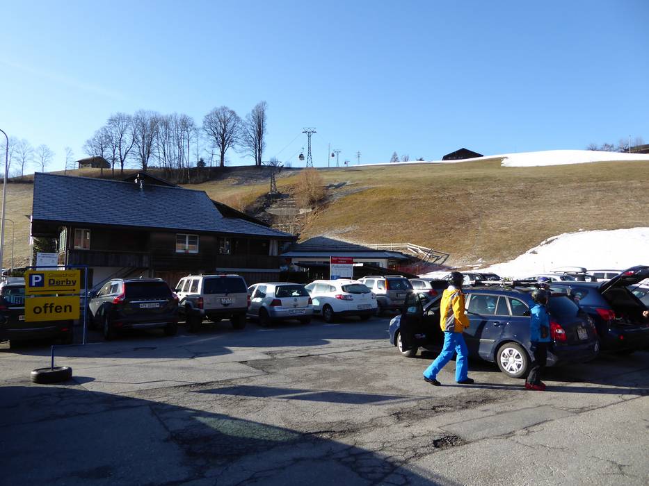
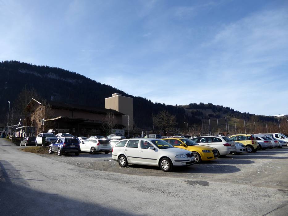
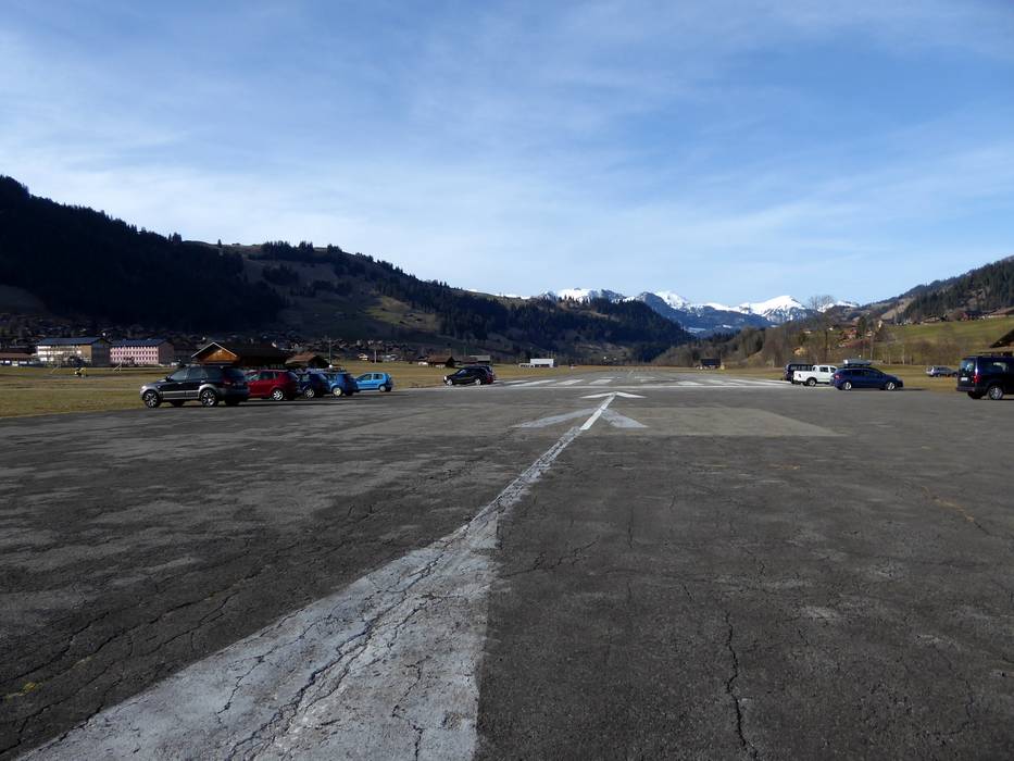
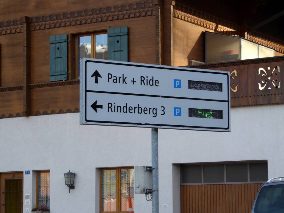
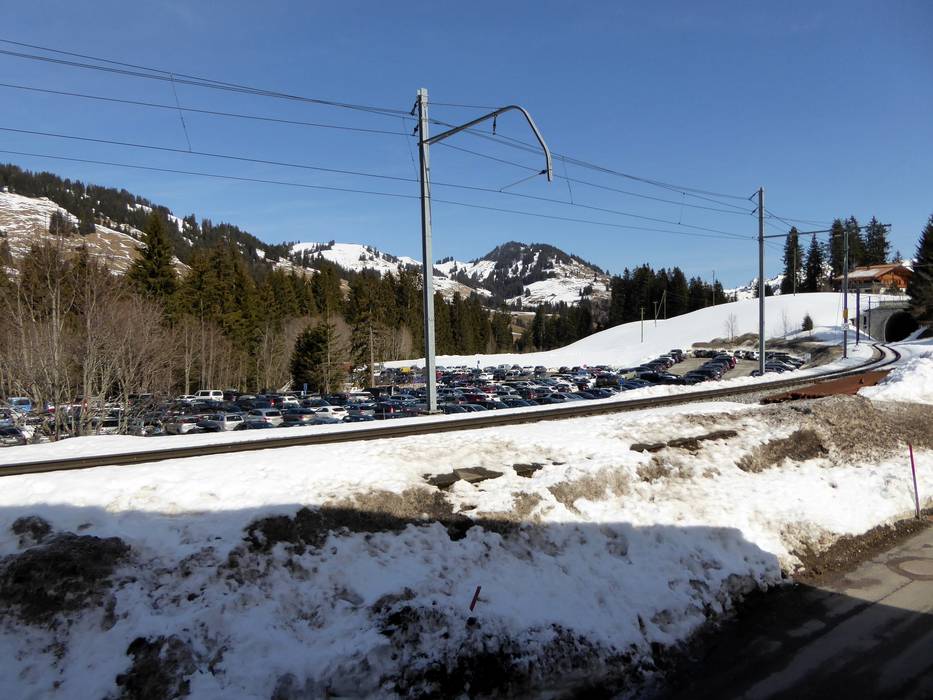
Access Rinderberg/Saanerslochgrat/Horneggli – Zweisimmen/Saanenmöser/Schönried/St. Stephan & on-site parking
The ski resort of Rinderberg/Saanerslochgrat/Horneggli is located in the heart of the Bernese Oberland. From the north, motorways take you conveniently from Zurich and Berne to Spiez am Thunersee. From there, mountain roads lead to Zweisimmen, St. Stephan, Saanenmöser and Schönried. From the west or south, you can leave the motorway in Bulle or Aigle to access all villages in the ski resort via Gstaad. The car parks in Zweisimmen and St. Stephan are free of charge. Unfortunately, in Saanenmöser and Schönried you need to pay for parking.Access via
- Autobahn A6 Biel/Bienne-Spiez, Autobahnende Wimmis
30 km approx. 34 min » - Autobahn A12 Bern-Vevey, Ausfahrt Bulle
46 km approx. 52 min » - A9 Autoroute du Rhône, Ausfahrt Aigle
51 km approx. 62 min »
Mobility on-site
- Comprehensive ski bus network
- Scheduled buses
- There are ski buses, scheduled buses and trains run by the MOB (Montreux-Berner Oberland-Bahn) train operator between Gstaad and the individual ski resorts.
Access via Autobahn A6 Biel/Bienne-Spiez, Autobahnende Wimmis
30 km Distance - approx. 34 Minutes driving time
Destination - Lenkstrasse 28, 3770 Zweisimmen, Switzerland
- Entry suitable for day visitors
- View on Google Maps
- limited amount available, tarmac car park
- free of charge
- Mountain road, well-developed
- Snow chains almost never required by snowfall
- Road closure due to avalanches unlikely

37 km Distance - approx. 45 Minutes driving time
Destination - Tiefengrabenstrasse, 3777 Saanen, Switzerland
- Entry suitable for day visitors
- View on Google Maps
- usually enough available, tarmac car park, gravel car park
- for a fee
- Mountain road, well-developed
- Snow chains almost never required by snowfall
- Road closure due to avalanches unlikely

39 km Distance - approx. 44 Minutes driving time
Destination - Waldmattenstr. 16 Schönried, 3778 Saanen, Switzerland
- Ideal entry for day visitors
- View on Google Maps
- usually enough available, tarmac car park, gravel car park
- for a fee
- Mountain road, well-developed
- Snow chains almost never required by snowfall
- Road closure due to avalanches unlikely

Access via Autobahn A12 Bern-Vevey, Ausfahrt Bulle
46 km Distance - approx. 52 Minutes driving time
Destination - Waldmattenstr. 16 Schönried, 3778 Saanen, Switzerland
- Ideal entry for day visitors
- View on Google Maps
- usually enough available, tarmac car park, gravel car park
- for a fee
- Mountain road, well-developed
- Snow chains almost never required by snowfall
- Road closure due to avalanches unlikely
55 km Distance - approx. 64 Minutes driving time
Destination - Tiefengrabenstrasse, 3777 Saanen, Switzerland
- Entry suitable for day visitors
- View on Google Maps
- usually enough available, tarmac car park, gravel car park
- for a fee
- Mountain road, well-developed
- Snow chains almost never required by snowfall
- Road closure due to avalanches unlikely
Access via A9 Autoroute du Rhône, Ausfahrt Aigle
51 km Distance - approx. 62 Minutes driving time
Destination - Waldmattenstr. 16 Schönried, 3778 Saanen, Switzerland
- Ideal entry for day visitors
- View on Google Maps
- usually enough available, tarmac car park, gravel car park
- for a fee
- Main street, Side road, Mountain road, well-developed, with significant incline
- Snow chains sometimes required by snowfall
- Road closure due to avalanches sometimes possible
 Access to ski resort
  Town/village close to ski resort
  Traffic Junction
 All information is supplied without guarantee
The maps are provided by Google with the following information: „These directions are for planning purposes only. You may find that construction projects, traffic, weather, or other events may cause conditions to differ from the map results, and you should plan your route accordingly. You must obey all signs or notices regarding your route.“
Feedback for the Skiresort.info Team? Please use this form »
Book this ski resort

Tips for the ski holiday


