
Evaluated by Skiresort.info, the world's largest test portal for ski resorts.
The evaluation is done as follows
Orientation (Trail map, information boards, sign-postings) and safety in the ski resort Nebelhorn – Oberstdorf
Trail map and overview maps
The piste map shows all ski areas in the Oberstdorf Kleinwalsertal region. The pistes and lifts at Nebelhorn are well represented, but additional details could be included. The highlights of the entire region are well presented.
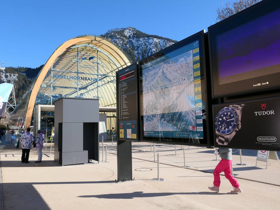
Information boards and sign-postings on the slopes
The signage on the slopes is clear, unambiguous, and consistent. Large information boards, including opening status and info screens at key points in the ski area, make orientation easy. All ski areas operated by Bergbahnen Kleinwalsertal Oberstdorf feature uniform signage. Each ski area is marked with its own color.
Trail map

Oberstdorf/Kleinwalsertal Season 2025/2026
Top Orientation


12 strengths of this ski resort


Feedback for the Skiresort.info Team? Please use this form

Select specific criteria
Top evaluation criteria
Further evaluation criteria
Orientation (trail map, information boards, sign-postings)
Evaluation criteria for special interests
Feedback for the Skiresort.info Team? Please use this form
Test Reports
Tips for the ski holiday