Ski resorts Switzerland


Route planner Obersaxen/Mundaun/Val Lumnezia
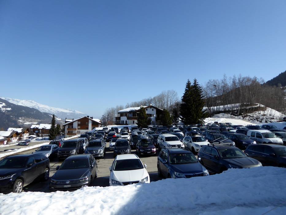
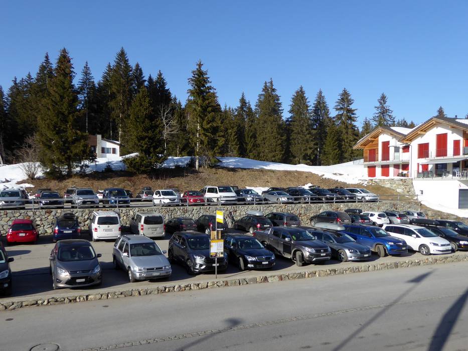
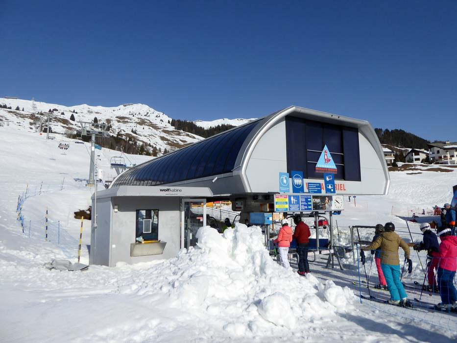
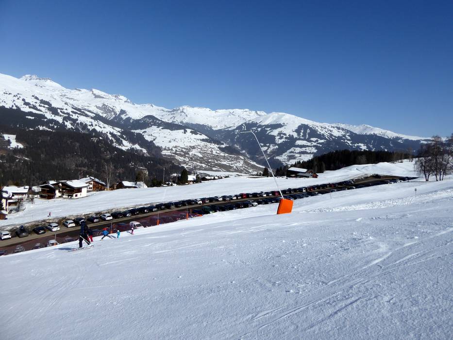
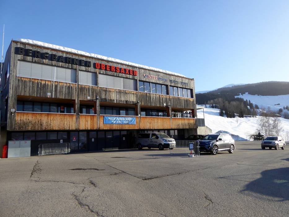
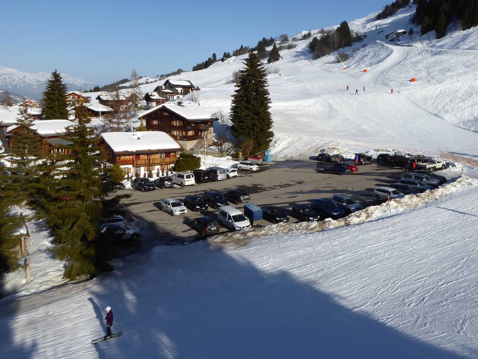
Access Obersaxen/Mundaun/Val Lumnezia & on-site parking
The ski resort of Obersaxen/Mundaun/Val Lumnezia is situated in Surselva and in winter can be accessed without restrictions from the Chur area. From Ticino or Italy, it can also be accessed over the Lukmanier Pass (generally open in winter). Via the Chur area, from the Reichenau/Disentis exit of the A13 St. Margrethen-Bellinzona motorway, a well-constructed road leads through the valley and mountain roads then lead up to the entry points in the ski resort. The car parks at all entry points are free of charge. Winter Closure
The Oberalp Pass (Andermatt-Sedrun) is closed in winter. A limited car train service runs from Andermatt to Sedrun.
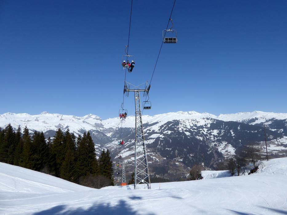
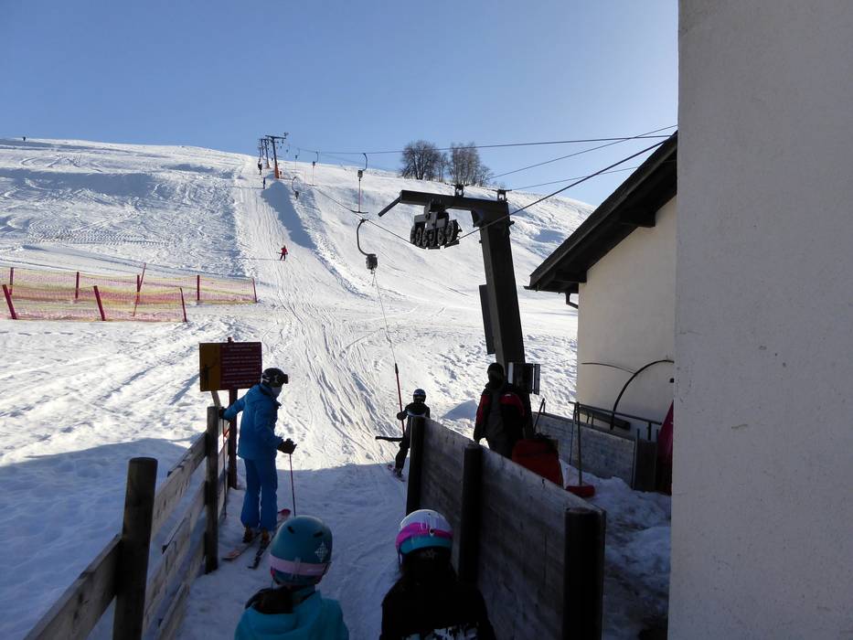
Mobility on-site
- Ski buses
- Scheduled buses
- The bus runs to all villages and districts in the region.
Access via Autobahn A13 St. Margrethen-Bellinzona, Exit Reichenau
30 km Distance - approx. 31 Minutes driving time
Destination - Valata, 7138 Surcuolm, Switzerland
- Ideal entry for day visitors
- View on Google Maps
- usually enough available, tarmac car park, gravel car park
- free of charge
- Side road, Mountain road, well-developed, with significant incline
- Snow chains sometimes required by snowfall
- Road closure due to avalanches extremely unlikely

30 km Distance - approx. 36 Minutes driving time
Destination - Valdunga, 7133 Obersaxen, Switzerland
- Ideal entry for day visitors
- View on Google Maps
- usually enough available
- free of charge
- Side road, Mountain road, well-developed, with significant incline
- Snow chains sometimes required by snowfall
- Road closure due to avalanches extremely unlikely

30 km Distance - approx. 38 Minutes driving time
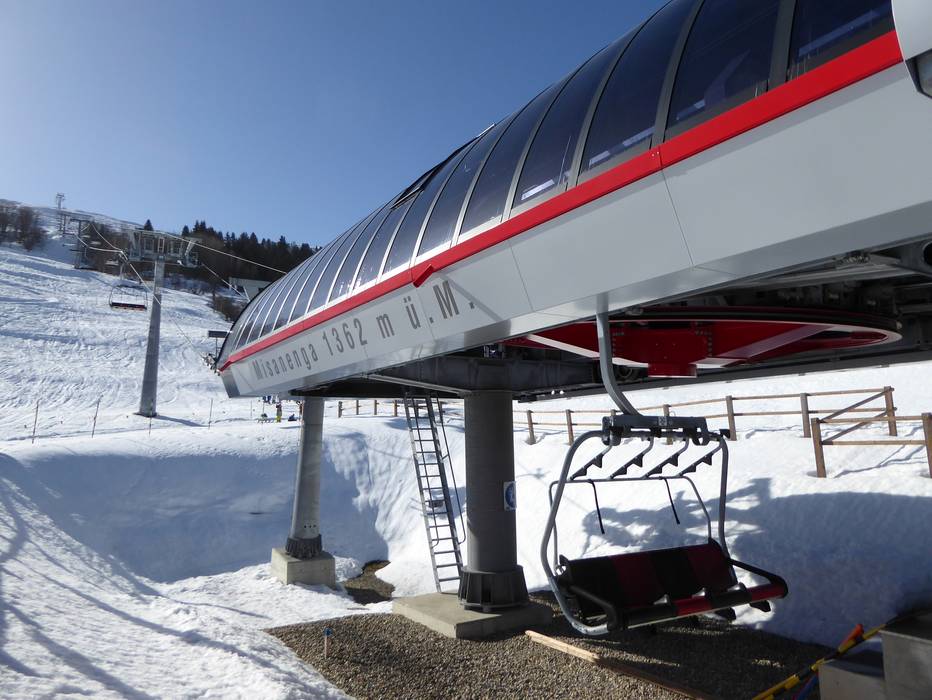
Destination - Misanenga, 7133 Obersaxen, Switzerland
- Entry suitable for day visitors
- View on Google Maps
- usually enough available, tarmac car park, gravel car park
- free of charge
- Side road, Mountain road, well-developed, with significant incline
- Snow chains sometimes required by snowfall
- Road closure due to avalanches extremely unlikely

31 km Distance - approx. 37 Minutes driving time
Destination - Pellas 115, 7144 Vella, Switzerland
- Ideal entry for day visitors
- View on Google Maps
- usually enough available, tarmac car park, gravel car park
- free of charge
- Side road, Mountain road, well-developed, with significant incline
- Snow chains sometimes required by snowfall
- Road closure due to avalanches extremely unlikely

33 km Distance - approx. 34 Minutes driving time
Destination - Schnaggabiel 812, 7134 Obersaxen, Switzerland
- Entry suitable for day visitors
- View on Google Maps
- usually enough available, tarmac car park, gravel car park
- free of charge
- Side road, Mountain road, well-developed, with significant incline
- Snow chains sometimes required by snowfall
- Road closure due to avalanches extremely unlikely

 Access to ski resort
  Town/village close to ski resort
  Traffic Junction
 All information is supplied without guarantee
The maps are provided by Google with the following information: „These directions are for planning purposes only. You may find that construction projects, traffic, weather, or other events may cause conditions to differ from the map results, and you should plan your route accordingly. You must obey all signs or notices regarding your route.“
Feedback for the Skiresort.info Team? Please use this form »
Book this ski resort

Tips for the ski holiday
")


