Ski resorts Germany

Route planner Oberjoch (Bad Hindelang) – Iseler
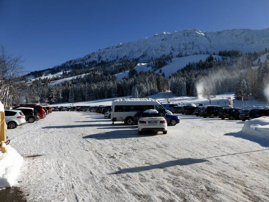
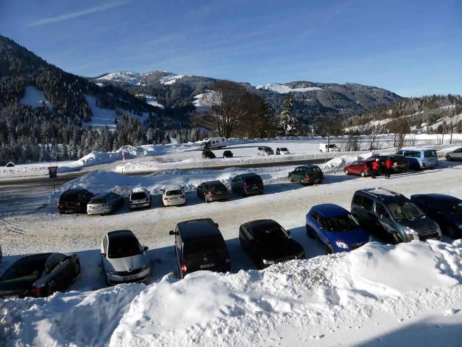
Access Oberjoch (Bad Hindelang) – Iseler & on-site parking
Oberjoch is quickly accessible via the Autobahn 7 Ulm-Füssen (Oy-Mittelberg exit). From the Autobahn exit, you drive about 20 km (15 minutes) on the well-built Bundesstrasse 310 to Oberjoch. You must pay a fee to park in the first parking spaces at the Iseler lift. If you continue along the pass towards the Tannheimer Valley, there are parking possibilities at the Wiedhag and Grenzwies lifts (free of charge). Sufficient parking is available at the entry points.When coming from Sonthofen and Bad Hindelang, a short and steep pass leads to Oberjoch. Guests driving from the Tannheim Valley to Oberjoch can access the ski resort via the Austrian Bundesstrasse 199.
Access via
- Autobahn A7 Memmingen-Fuessen, Exit Oy-Mittelberg
19 km approx. 15 min » - B19 Kempten-Sonthofen, Ausfahrt Sonthofen
17 km approx. 25 min »
Mobility on-site
- Comprehensive ski bus network
- Scheduled buses
- Ski buses travel from all directions to the ski resort. They ski bus lines begin in Oberjoch, Bad Hindelang, Unterjoch, Bad Oberdorf, Hinterstein and Vorderhindelang. The ski bus is free for guests with Bad Hindelang PLUS cards (guest card from participating accommodations) and guests with valid ski passes. Otherwise, the normal prices from the VG Oberallgäu apply.
Access via Autobahn A7 Memmingen-Fuessen, Exit Oy-Mittelberg
19 km Distance - approx. 15 Minutes driving time
Destination - Paßstraße, 87541 Bad Hindelang-Oberjoch, Germany
- Entry suitable for day visitors
- View on Google Maps
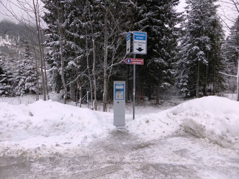
- usually enough available, tarmac car park, gravel car park
- for a fee
- Main street, Mountain road, well-developed
- Snow chains sometimes required by snowfall
- Road closure due to avalanches unlikely

Access via B19 Kempten-Sonthofen, Ausfahrt Sonthofen
17 km Distance - approx. 25 Minutes driving time
Destination - Paßstraße, 87541 Bad Hindelang-Oberjoch, Germany
- Entry suitable for day visitors
- View on Google Maps
- usually enough available, tarmac car park, gravel car park
- for a fee
- Main street, Mountain road, well-developed, with significant incline
- Snow chains often required by snowfall
- Road closure due to avalanches unlikely
More Entry point(s) to the ski resort
Destination
- B308, 87541 Bad Hindelang-Oberjoch, Germany
- Ideal entry for day visitors
- View on Google Maps
- usually enough available, tarmac car park, gravel car park
- free of charge

Destination
- Paßstrasse 50, 87541 Bad Hindelang-Oberjoch, Germany
- Ideal entry for day visitors
- View on Google Maps
- usually enough available, tarmac car park, gravel car park
- free of charge

 Access to ski resort
  Town/village close to ski resort
  Traffic Junction
 All information is supplied without guarantee
The maps are provided by Google with the following information: „These directions are for planning purposes only. You may find that construction projects, traffic, weather, or other events may cause conditions to differ from the map results, and you should plan your route accordingly. You must obey all signs or notices regarding your route.“
Feedback for the Skiresort.info Team? Please use this form »
Book this ski resort

Tips for the ski holiday


