Ski resorts Austria


Route planner Nauders am Reschenpass – Bergkastel
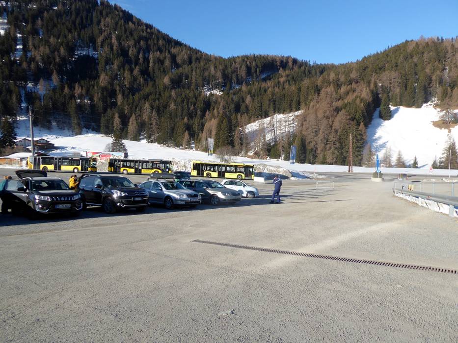
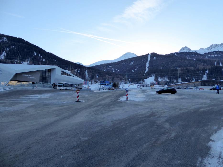
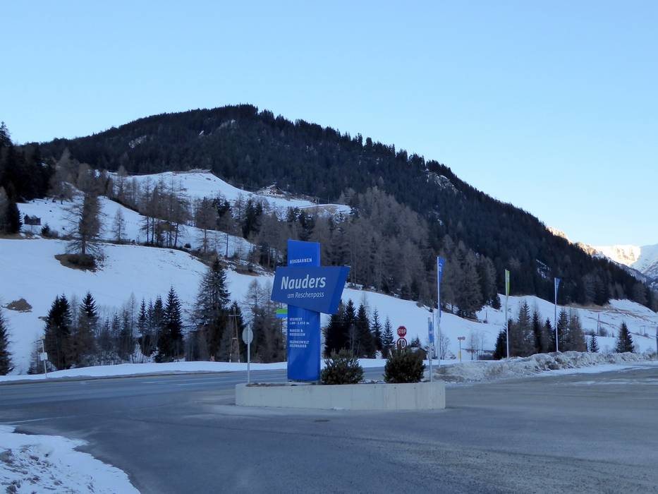
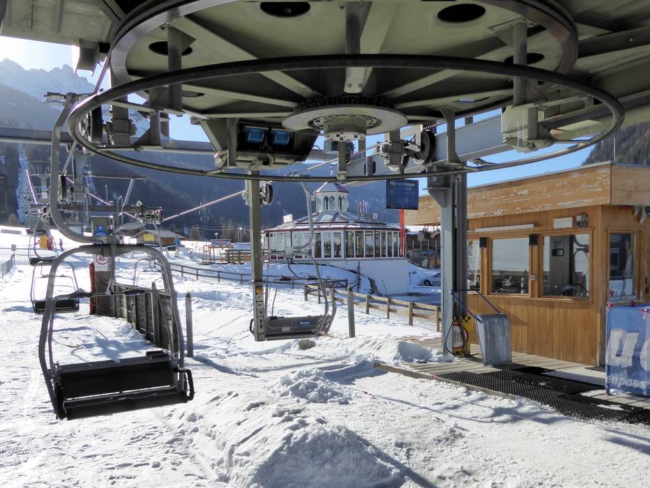
Access Nauders am Reschenpass – Bergkastel & on-site parking
The ski resort of Nauders is located on the Reschen Pass in Tyrol, close to the Italian border. It can be accessed on very good roads from the Inntalautobahn motorway. There is one short winding section on the way. The resort can also be accessed from the south via the Vinschgau. Free car parks are located directly at the base station of the Nauders cable car centre (Seilbahncenter).Access via
- A12 Inntal Autobahn, Exit Reschen
44 km approx. 37 min » - Tangenziale Ovest (East), Exit Merano/Algund
78 km approx. 80 min »
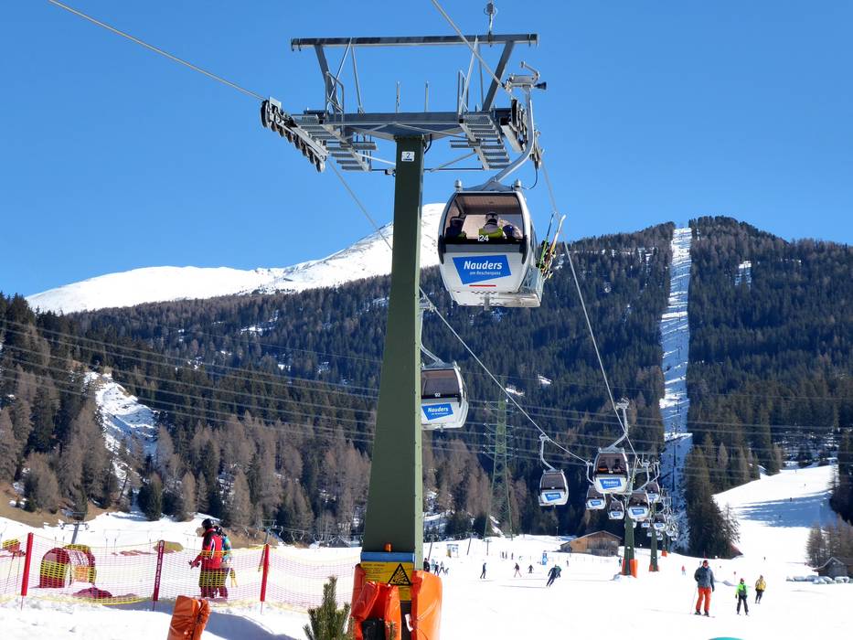
Mobility on-site
- Comprehensive ski bus network
- Scheduled buses
- Ski buses run very regularly between the accommodation in the village of Nauders and the Nauders cable car centre (Seilbahncenter) during the lift operating hours. After the lifts have closed, you can also easily take the après-ski bus to the village.
Access via A12 Inntal Autobahn, Exit Reschen
44 km Distance - approx. 37 Minutes driving time
Destination - Nauders 299 Reschen Straße, 6543 Nauders, Austria
- Ideal entry for day visitors
- View on Google Maps
- enough available, tarmac car park, gravel car park
- free of charge
- Highway, Main street, Mountain road, well-developed, with significant incline
- Snow chains sometimes required by snowfall
- Road closure due to avalanches extremely unlikely

Access via Tangenziale Ovest (East), Exit Merano/Algund
78 km Distance - approx. 80 Minutes driving time
Destination - Nauders 299 Reschen Straße, 6543 Nauders, Austria
- Ideal entry for day visitors
- View on Google Maps
- enough available, tarmac car park, gravel car park
- free of charge
- Main street, Mountain road, well-developed, with significant incline
- Snow chains sometimes required by snowfall
- Road closure due to avalanches extremely unlikely
 Access to ski resort
  Town/village close to ski resort
  Traffic Junction
 All information is supplied without guarantee
The maps are provided by Google with the following information: „These directions are for planning purposes only. You may find that construction projects, traffic, weather, or other events may cause conditions to differ from the map results, and you should plan your route accordingly. You must obey all signs or notices regarding your route.“
Feedback for the Skiresort.info Team? Please use this form »
Book this ski resort


