

Evaluated by Skiresort.info, the world's largest test portal for ski resorts.
The evaluation is done as follows
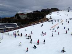
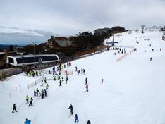
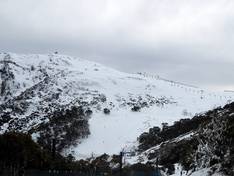
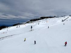
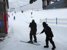
Orientation (Trail map, information boards, sign-postings) and safety in the ski resort Mt. Buller
Trail map and overview maps
The trail map provides an excellent representation of the Southern Slopes and Northern Slopes of the Mt. Buller ski area. All lifts and trails are marked. Elevation information and cross-country trails are completely missing. The trail map comes in a handy, portable format.
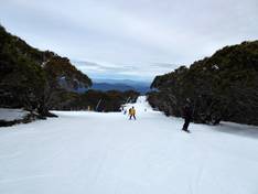
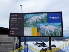
Information boards and sign-postings on the slopes
The slopes in the Mount Buller ski area are very well signposted. In addition, you will find piste maps with up-to-date operating information distributed throughout the ski area. Current information and webcams from the mountain can also be found in some restaurants.
Trail map

Mt. Buller Southern Slopes Season 2026

Mt. Buller Northern Slopes Season 2026
Top Orientation


12 strengths of this ski resort


Feedback for the Skiresort.info Team? Please use this form
Select specific criteria
Top evaluation criteria
Further evaluation criteria
Orientation (trail map, information boards, sign-postings)
Evaluation criteria for special interests
Feedback for the Skiresort.info Team? Please use this form
Book this ski resort
Test Reports
Tips for the ski holiday