
Evaluated by Skiresort.info, the world's largest test portal for ski resorts.
The evaluation is done as follows
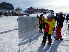
Orientation (Trail map, information boards, sign-postings) and safety in the ski resort Tremblant
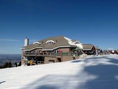
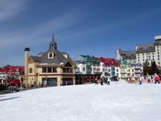
The trail map presents the Tremblant ski area very well, showing both the South Side and the North Side. All lifts and trails are marked and well described. All mountain restaurants, parking lots, and snow parks are also indicated. On the back of the trail map, you will find additional information and the village map.
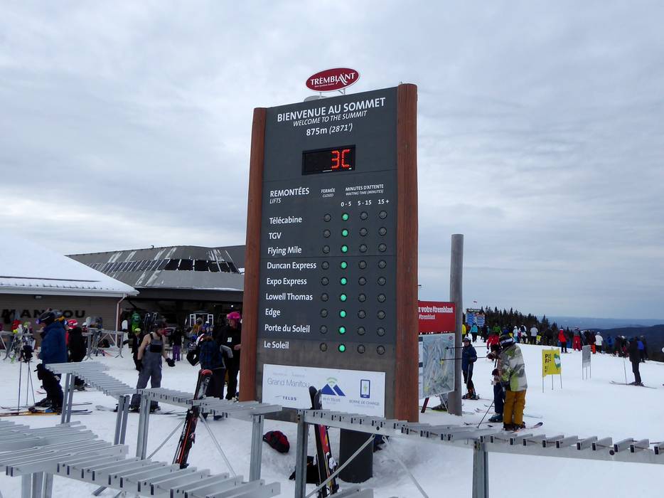
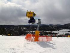
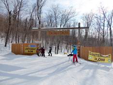
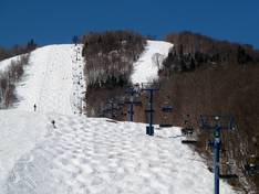
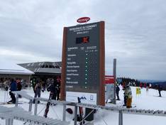
All slopes and lifts are very well signposted. It is very easy to find your way around thanks to the division into the north and south sides of the mountain. In addition, almost all lifts provide detailed information about the weather and operational status. Digital displays complete the offer.


Feedback for the Skiresort.info Team? Please use this form