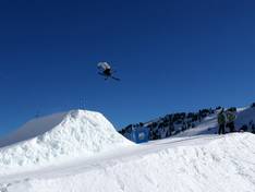
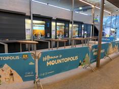
Orientation (Trail map, information boards, sign-postings) and safety in the ski resort Mayrhofen – Penken/Ahorn/Rastkogel/Eggalm (Mountopolis)
Trail map and overview maps
The slope map is clearly laid out. All important points such as huts, highlights and experiences, bus stops, and parking facilities are marked. All Mountopolis experiences are excellently described. In addition, the leaflet explains several interesting routes through the ski area. In some places, it is difficult to determine the direction of descent of a run. This leads to some confusion, especially at connecting sections.
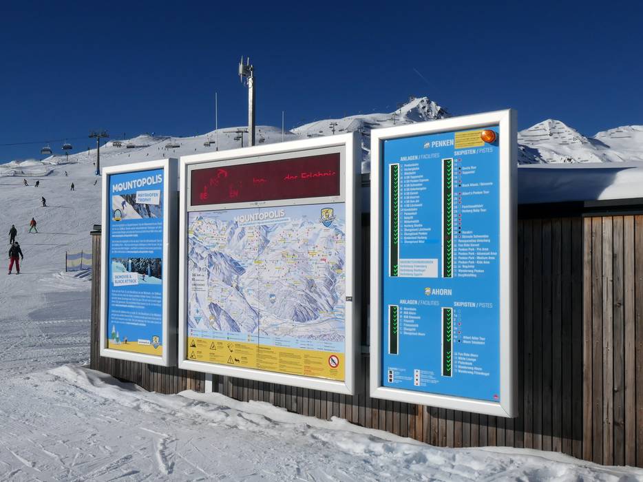
Information boards and sign-postings on the slopes
There is continuous signage throughout the ski area. Modern information systems and clear signposting help with orientation. The experiences and highlights are very well displayed.
Trail map
Mayrhofen – Penken/Ahorn/Rastkogel/Eggalm Season 2026/2027