60 km Distance - approx. 63 Minutes driving time
Destination - Rue des Terres de Venosc, 38860 Les Deux Alpes, France
- Entry suitable for day visitors
- View on Google Maps
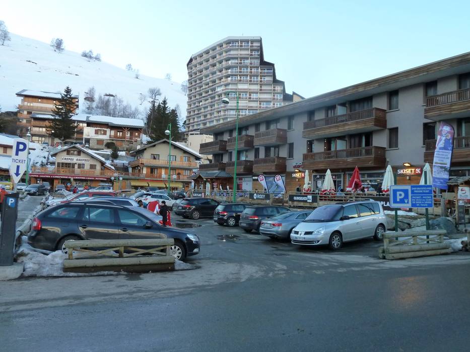
- limited amount available, covered car park, tarmac car park
- for a fee
- Side road, Mountain road, partially developed, well-developed, with significant incline
- Snow chains often required by snowfall
- Road closure due to avalanches sometimes possible
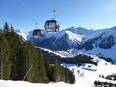
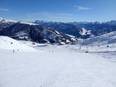
 Access to ski resort
  Town/village close to ski resort
  Traffic Junction