Ski resorts USA


Orientation (Trail map, information boards, sign-postings) Killington

Evaluated by Skiresort.info, the world's largest test portal for ski resorts.
The evaluation is done as follows
Orientation and safety in the ski resort Killington
Trail map and overview maps
The piste map shows a very clear overview of the entire ski resort of Killington. It provides a detailed view and description of all runs, lifts, base stations and mountain summits. You can also find all car parking facilities, restaurants and many altitude indications. Additional interesting information can be found on the reverse of the piste map.
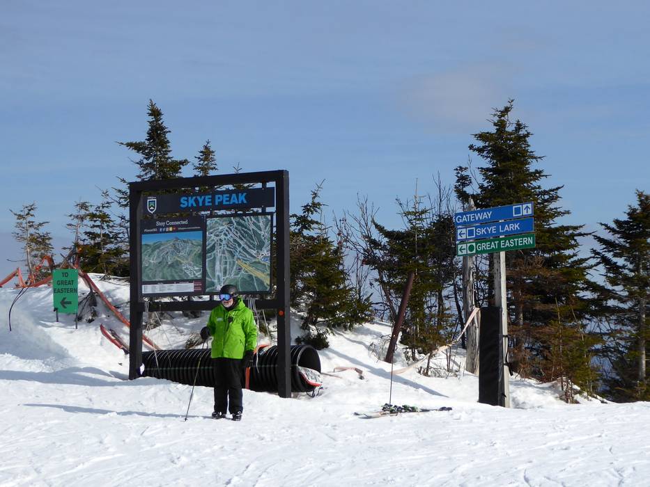
Information boards and sign-postings on the slopes
All slopes and lifts are very clearly signposted. Large piste maps can be found at almost all mountain and base stations. Staff are also available in certain places to answer questions. The different base stations and car parks are all marked in different colours. This makes it very easy to find your way back to your car. Digital displays complete the offering.
Trail map

Killington Season 2023/2024


Feedback for the Skiresort.info Team? Please use this form »
Select specific criteria
Top evaluation criteria
Further evaluation criteria
Orientation (trail map, information boards, sign-postings)
Evaluation criteria for special interests
Feedback for the Skiresort.info Team? Please use this form »
Book this ski resort
Test Reports


Tips for the ski holiday

