Ski resorts Switzerland


Route planner Hohsaas – Saas-Grund
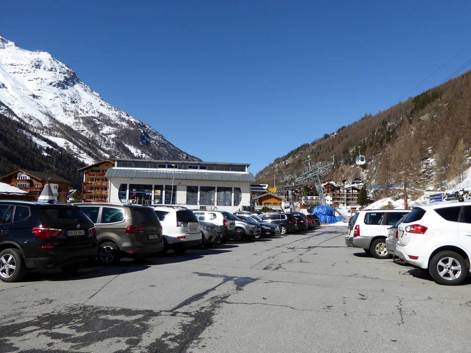
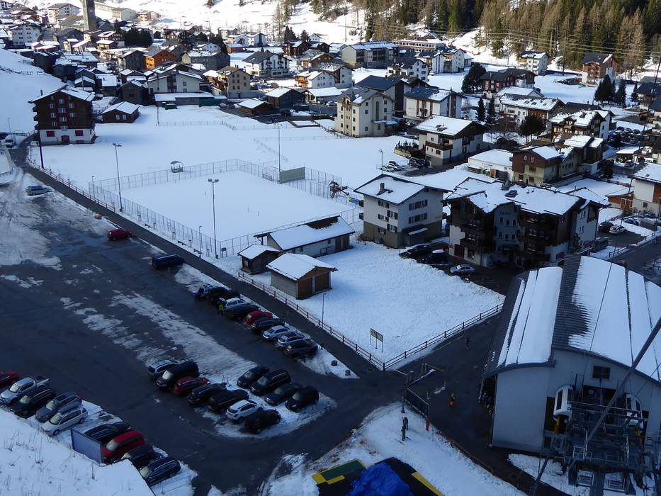
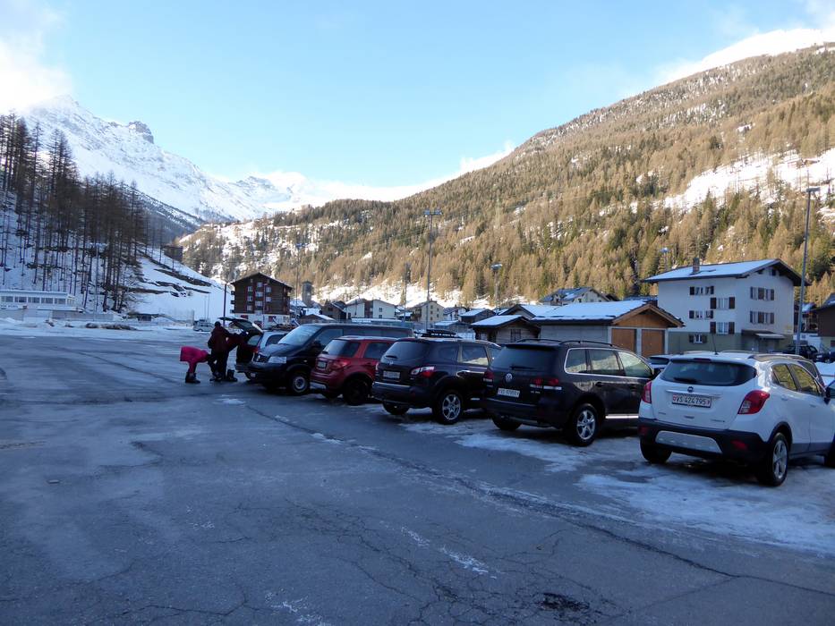
Access Hohsaas – Saas-Grund & on-site parking
The Hohsaas ski resort is located in Valais in south-western Switzerland. It is possible to access the resort by car from different directions, but when traveling from Visp, you must always travel from Visp to Stalden, then turn into the Saas Valley and drive to Saas-Grund. There is a parking lot for 500 cars at the base station (fee is charged for parking).From Germany: Travel via Basel-Bern-Thun-Kandersteg (Lötschberg auto train)-Goppenstein-Visp or via Zurich–towards Gotthard–Furka auto train (Realp–Oberwald)– and then on through Goms towards Visp.
From Western Switzerland: Travel via the A9 from Lake Geneva towards Visp.
From Milano/Italy: Travel over the Simplon Pass (open all year) or use the Brig-Iselle auto train to Visp.
Winter Closure
The Furka Pass and the Oberalp Pass are closed during the winter. Access from the north and west via the auto train Furka (Realp-Oberwald) or Lötschberg.
Access via
- A8 Spiez-Interlaken, Exit Spiez
85 km approx. 117 min » - A2, Exit 40 Göschenen
104 km approx. 137 min » - A9 Autoroute du Rhône, end of Autoroute near Sierre
48 km approx. 51 min » - E62 Strada del Sempione, Domodossola
97 km approx. 99 min »
Mobility on-site
- Ski buses
- Scheduled buses
- All villages in the Saas Valley are well-connected by bus. There is also an hourly bus connection to Visp and Brig.
Access via A8 Spiez-Interlaken, Exit Spiez
85 km Distance - approx. 117 Minutes driving time
Destination - Saas Grund, 3910 Saas Grund, Switzerland
- Ideal entry for day visitors
- View on Google Maps
- usually enough available, tarmac car park, gravel car park
- for a fee, 8,- / per day
- Main street, Side road, Mountain road, well-developed, with significant incline
- Snow chains sometimes required by snowfall
- Road closure due to avalanches unlikely

Access via A2, Exit 40 Göschenen
104 km Distance - approx. 137 Minutes driving time
Destination - Saas Grund, 3910 Saas Grund, Switzerland
- Ideal entry for day visitors
- View on Google Maps
- usually enough available, tarmac car park, gravel car park
- for a fee, 8,- / per day
- Main street, Side road, Mountain road, well-developed, with significant incline
- Snow chains sometimes required by snowfall
- Road closure due to avalanches unlikely
Access via A9 Autoroute du Rhône, end of Autoroute near Sierre
48 km Distance - approx. 51 Minutes driving time
Destination - Saas Grund, 3910 Saas Grund, Switzerland
- Ideal entry for day visitors
- View on Google Maps
- usually enough available, tarmac car park, gravel car park
- for a fee, 8,- / per day
- Main street, Side road, Mountain road, well-developed, with significant incline
- Snow chains sometimes required by snowfall
- Road closure due to avalanches unlikely
Access via E62 Strada del Sempione, Domodossola
97 km Distance - approx. 99 Minutes driving time
Destination - Saas Grund, 3910 Saas Grund, Switzerland
- Ideal entry for day visitors
- View on Google Maps
- usually enough available, tarmac car park, gravel car park
- for a fee, 8,- / per day
- Main street, Side road, Mountain road, well-developed, with significant incline
- Snow chains sometimes required by snowfall
- Road closure due to avalanches unlikely
 Access to ski resort
  Town/village close to ski resort
  Traffic Junction
 All information is supplied without guarantee
The maps are provided by Google with the following information: „These directions are for planning purposes only. You may find that construction projects, traffic, weather, or other events may cause conditions to differ from the map results, and you should plan your route accordingly. You must obey all signs or notices regarding your route.“
Feedback for the Skiresort.info Team? Please use this form »
Book this ski resort


Test Reports

