


68 km Distance - approx. 66 Minutes driving time
Destination - Unterberg, 5761 Aberg (Maria Alm am Steinernen Meer), Austria
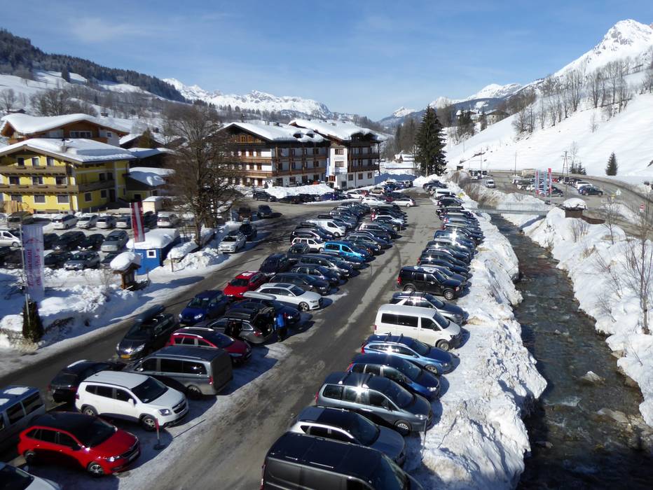
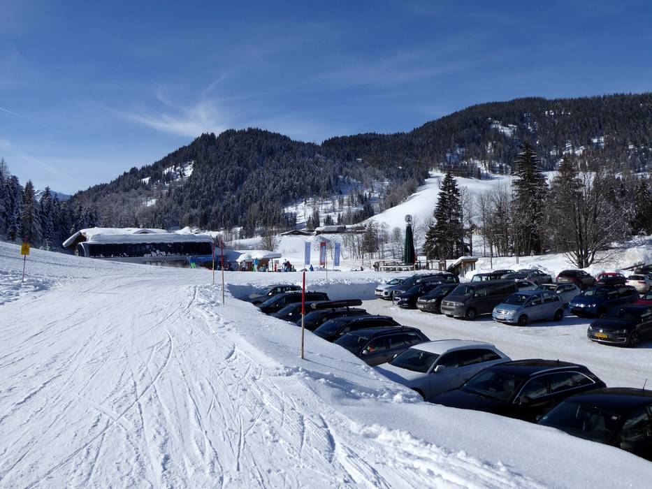
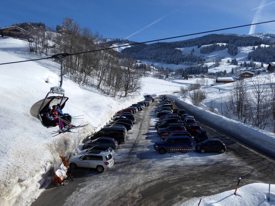
- Ideal entry for day visitors
- View on Google Maps
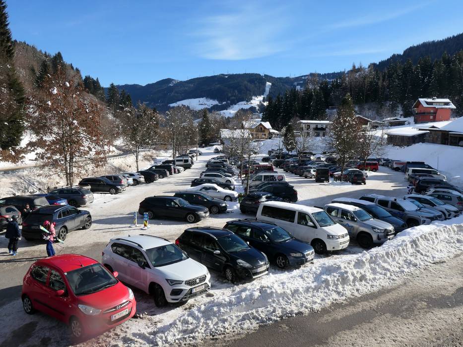
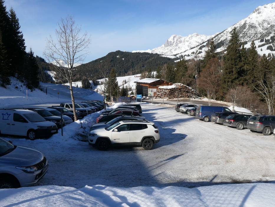
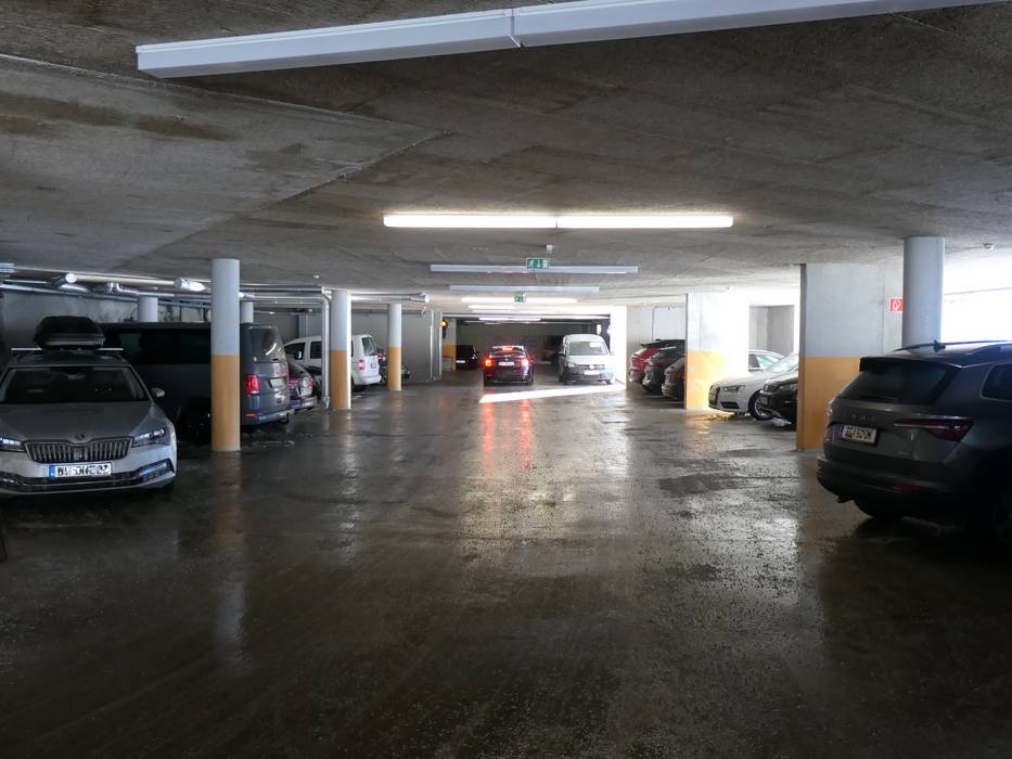
- enough available, tarmac car park, gravel car park
- free of charge
- Main street, Side road, well-developed
- Snow chains sometimes required by snowfall
- Road closure due to avalanches sometimes possible
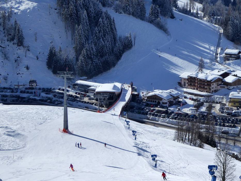
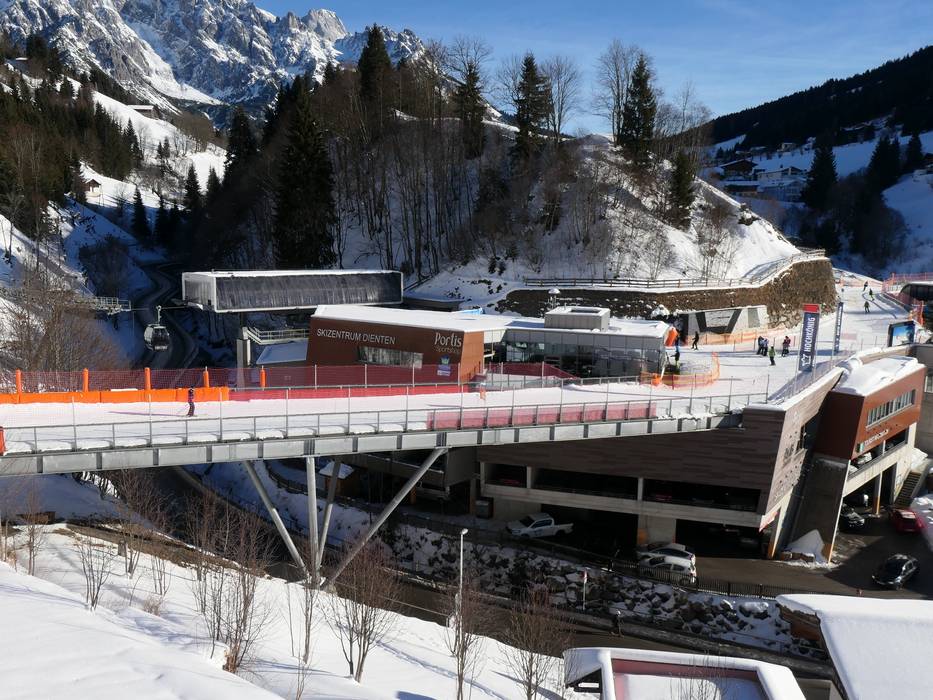
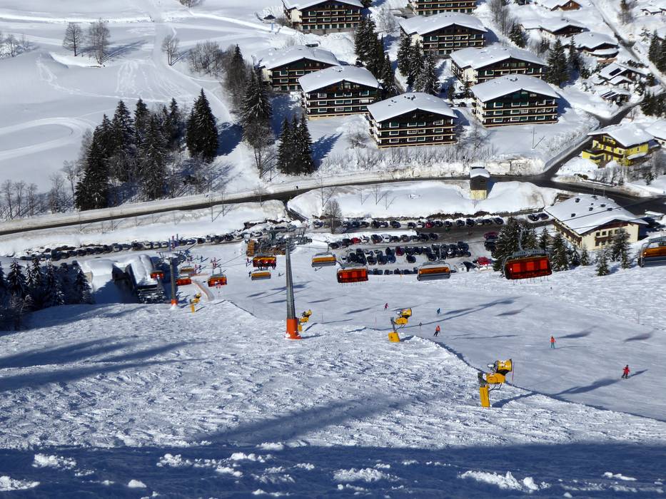
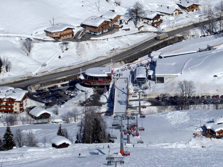
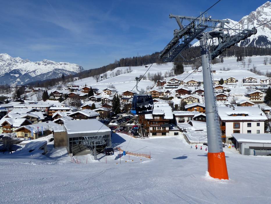
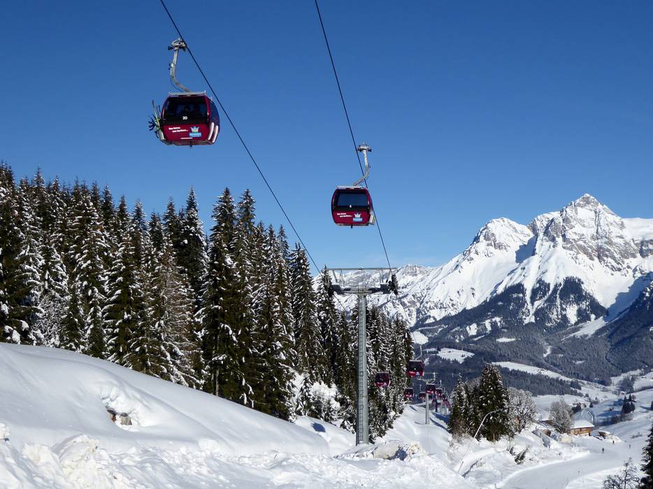
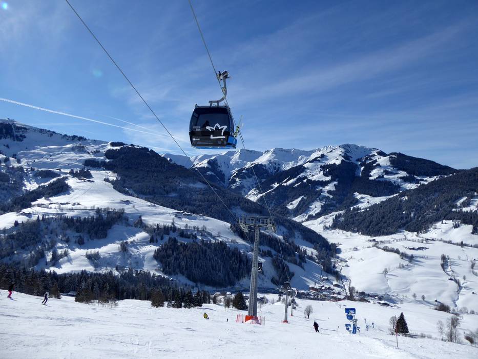
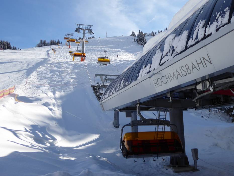
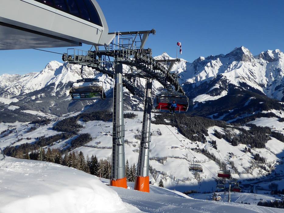
 Access to ski resort
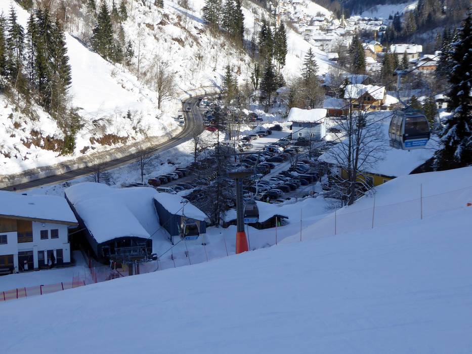
  Town/village close to ski resort
  Traffic Junction
