Ski resorts Austria


Orientation (Trail map, information boards, sign-postings) Hochkönig – Maria Alm/Dienten/Mühlbach

Evaluated by Skiresort.info, the world's largest test portal for ski resorts.
The evaluation is done as follows
Orientation and safety in the ski resort Hochkönig – Maria Alm/Dienten/Mühlbach
Trail map and overview maps
The piste map provides a very clear overview of the ski resort from Mühlbach via Dienten all the way to Maria Alm. The lifts at Hochkeil and Hinterreit are also shown. The Königstour is very clearly indicated. It also shows full details of lifts, ski pass prices and additional information. More indications of altitude and more information about the individual slopes would be useful.
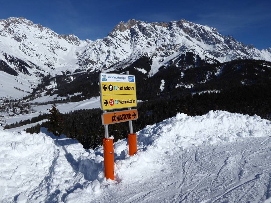
Information boards and sign-postings on the slopes
Signposting on the slopes is very good. There are sufficient information boards; the slopes are numbered consistently and signposted. Signs are also provided at junctions. The Königstour is optimally signposted.
Trail map

Region Hochkönig Season 2023/2024


Feedback for the Skiresort.info Team? Please use this form »

Select specific criteria
Top evaluation criteria
Further evaluation criteria
Orientation (trail map, information boards, sign-postings)
Evaluation criteria for special interests
Feedback for the Skiresort.info Team? Please use this form »
Book this ski resort

