Ski resorts Austria


Orientation (Trail map, information boards, sign-postings) Hinterstoder – Höss

Evaluated by Skiresort.info, the world's largest test portal for ski resorts.
The evaluation is done as follows
Orientation and safety in the ski resort Hinterstoder – Höss
Trail map and overview maps
The piste map provides a very clear overview of the two ski resorts of Hinterstoder and Wurzeralm. All slopes and lifts are shown in detail. It also shows altitude details and the attractions in the ski resort. However, more precise location details and descriptions could be provided for the restaurants. On the back, the prices and descriptions of the ski resorts are provided in three languages along with additional information.
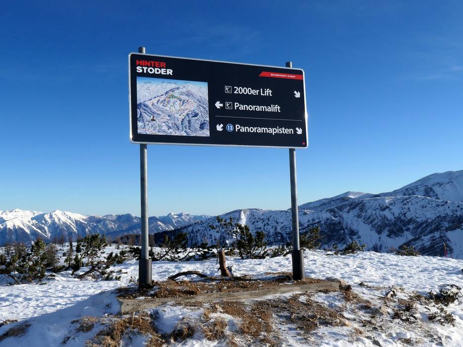
Information boards and sign-postings on the slopes
It is easy to find your way in the Hinterstoder ski resort. Piste maps with updated information are provided at the base station and mountain station. The slopes are all signposted and updated operating information is displayed at some lifts.
Trail map

Hinterstoder – Höss Season 2023/2024


Feedback for the Skiresort.info Team? Please use this form »
Select specific criteria
Top evaluation criteria
Further evaluation criteria
Orientation (trail map, information boards, sign-postings)
Evaluation criteria for special interests
Feedback for the Skiresort.info Team? Please use this form »
Book this ski resort
Test Reports


Tips for the ski holiday

