Ski resorts Italy
/Malga San Valentino (Haideralm)")


/Malga San Valentino (Haideralm)")
Route planner Belpiano (Schöneben)/Malga San Valentino (Haideralm)
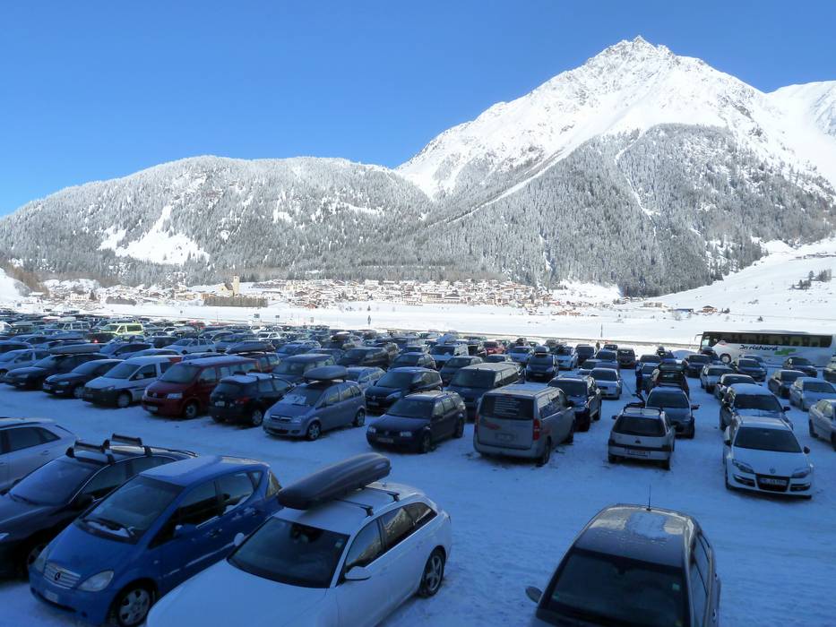
Access Belpiano (Schöneben)/Malga San Valentino (Haideralm) & on-site parking
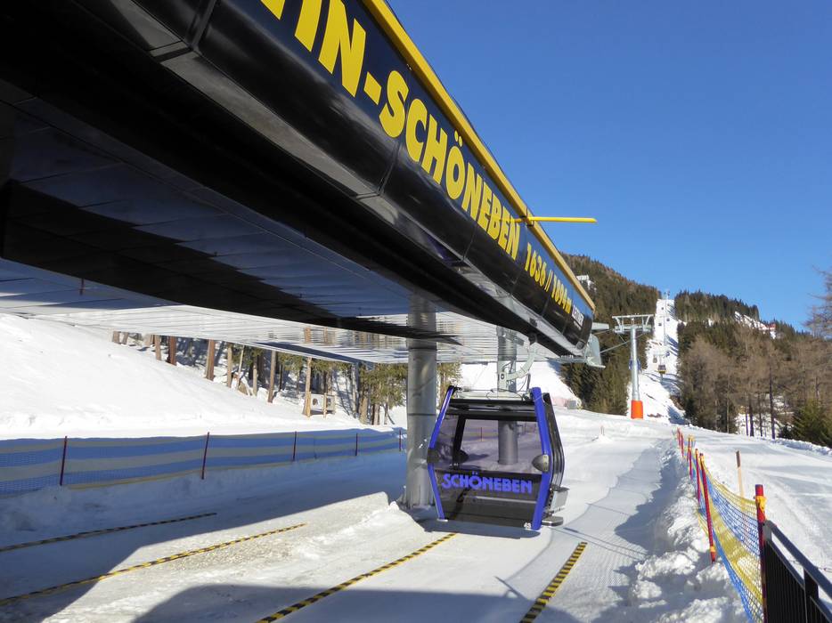
The ski resort of Belpiano (Schöneben)/Malga San Valentino (Haideralm) is located up on the Resia (Reschen) Pass and from the north can be accessed via the Upper Inn Valley (Resia (Reschen) exit of the Inntalautobahn motorway) or from the south via Val Venosta (Vinschgau) (Bolzano (Bozen) South exit of the Brenner-Verona motorway). There is sufficient free parking available directly at both base stations in Resia (Reschen) and San Valentino alla Muta (St. Valentin auf der Haide).Access via
- A12 Inntal Autobahn, Exit Reschen
50 km approx. 45 min » - Tangenziale Ovest (East), Exit Merano/Algund
64 km approx. 67 min »
Mobility on-site
- Comprehensive ski bus network
- Scheduled buses
- Continuous free ski bus connections provided by the village bus and regional ski bus (Postbus) between Curon (Graun), San Valentino (St. Valentin), Resia (Reschen) and Nauders.
Access via A12 Inntal Autobahn, Exit Reschen
50 km Distance - approx. 45 Minutes driving time
Destination - SP102, 39027 Reschen, Italy
- Ideal entry for day visitors
- View on Google Maps
- enough available, tarmac car park, gravel car park
- free of charge
- Highway, Main street, Mountain road, well-developed, with significant incline
- Snow chains sometimes required by snowfall
- Road closure due to avalanches sometimes possible

Access via Tangenziale Ovest (East), Exit Merano/Algund
64 km Distance - approx. 67 Minutes driving time
Destination - Kirchgasse, 39027 Graun im Vinschgau, Italy
- Ideal entry for day visitors
- View on Google Maps
- usually enough available, tarmac car park, gravel car park
- free of charge
- Highway, Main street, Mountain road, well-developed, with significant incline
- Snow chains sometimes required by snowfall
- Road closure due to avalanches extremely unlikely

74 km Distance - approx. 77 Minutes driving time
Destination - SP102, 39027 Reschen, Italy
- Ideal entry for day visitors
- View on Google Maps
- enough available, tarmac car park, gravel car park
- free of charge
- Highway, Main street, Mountain road, well-developed, with significant incline
- Snow chains sometimes required by snowfall
- Road closure due to avalanches extremely unlikely
 Access to ski resort
  Town/village close to ski resort
  Traffic Junction
 All information is supplied without guarantee
The maps are provided by Google with the following information: „These directions are for planning purposes only. You may find that construction projects, traffic, weather, or other events may cause conditions to differ from the map results, and you should plan your route accordingly. You must obey all signs or notices regarding your route.“
Feedback for the Skiresort.info Team? Please use this form »
Book this ski resort


