Ski resorts Austria


Route planner Grossglockner Heiligenblut
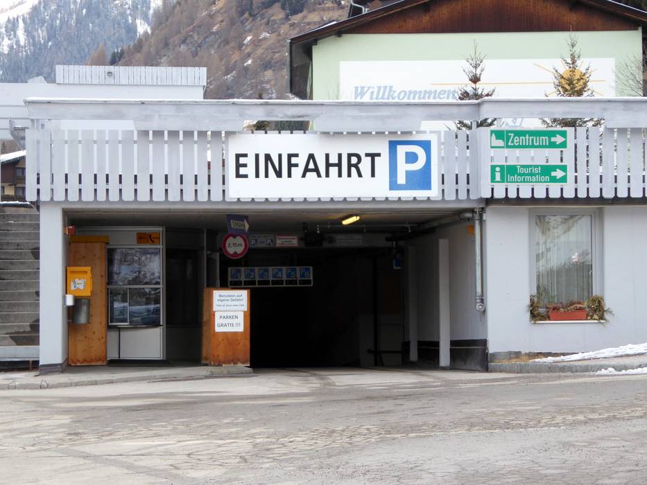
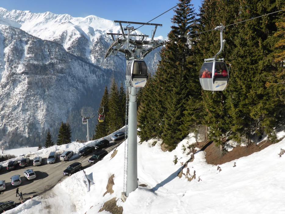
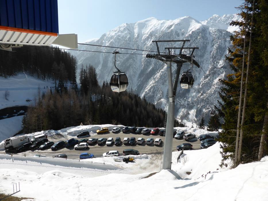
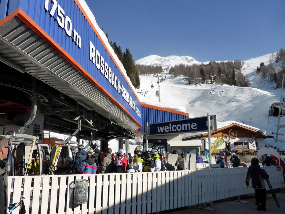
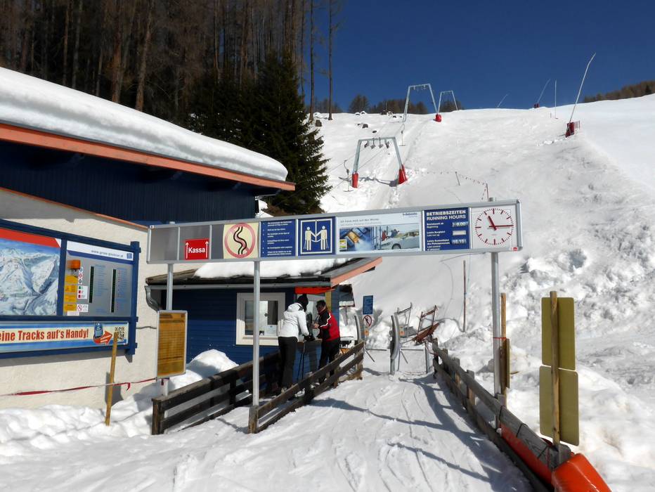
Access Grossglockner Heiligenblut & on-site parking
The Grossglockner Heiligenblut ski resort is accessible via the Möll Valley in the Hohe Tauern National Park. During the winter, it is only accessible from the south via Winklern because the Großglockner High Alpine Road is closed. The nearest Autobahns are relatively far away. Heiligenblut is situated at 1301 m at the foot of the highest mountain in Austria - the Großglockner, 3798 m. There is no parking available directly at the base station of the Rossbach lift, but you can park for free in the parking garage about 300 m away from the lift. Alternatively, you can drive up to the Rossbach middle station or to the Tauernberg lift. You can park there for free at the toll gate for the Großglockner High Alpine Road at 1700 meters elevation. Winter Closure
The Großglockner High Alpine Road is closed during the winter. You can only access Heiligenblut from the south.
Access via
- A10 Tauernautobahn, Ausfahrt Lendorf (Knoten Spittal)
76 km approx. 64 min » - A12 Inntal Autobahn, Exit Kufstein Sued (South)
165 km approx. 149 min » - Brenner Autobahn, Exit Brixen/Bressanone-Pustertal
140 km approx. 138 min » - Autostrada Alpe-Adria, Exit Carnia-Tolmezzo
116 km approx. 109 min »
Mobility on-site
- Ski buses
- Scheduled buses
- Within Heiligenblut and in the Möll Valley, there are many ski bus and post bus lines and use is free with a ski pass. The most important connections are from Iselsberg, Stall/Möll Valley, Winklern, Großkirchheim and Rojach
Access via A10 Tauernautobahn, Ausfahrt Lendorf (Knoten Spittal)
76 km Distance - approx. 64 Minutes driving time
Destination - Hof 94, 9844 Heiligenblut, Austria
- View on Google Maps
- limited amount available, covered car park, tarmac car park
- free of charge
- Main street, Side road, Mountain road, well-developed, with significant incline
- Snow chains sometimes required by snowfall
- Road closure due to avalanches sometimes possible

81 km Distance - approx. 69 Minutes driving time
Destination - Untertauern, 9844 Heiligenblut, Austria
- Ideal entry for day visitors
- View on Google Maps
- usually enough available, tarmac car park
- free of charge
- Main street, Side road, Mountain road, well-developed, with significant incline
- Snow chains sometimes required by snowfall
- Road closure due to avalanches sometimes possible

Access via A12 Inntal Autobahn, Exit Kufstein Sued (South)
165 km Distance - approx. 149 Minutes driving time
Destination - Hof 94, 9844 Heiligenblut, Austria
- View on Google Maps
- limited amount available, covered car park, tarmac car park
- free of charge
- Main street, Side road, Mountain road, Mountain pass road, well-developed, with significant incline
- Snow chains sometimes required by snowfall
- Road closure due to avalanches sometimes possible
Access via Brenner Autobahn, Exit Brixen/Bressanone-Pustertal
140 km Distance - approx. 138 Minutes driving time
Destination - Hof 94, 9844 Heiligenblut, Austria
- View on Google Maps
- limited amount available, covered car park, tarmac car park
- free of charge
- Main street, Side road, well-developed, with significant incline
- Snow chains sometimes required by snowfall
- Road closure due to avalanches sometimes possible
Access via Autostrada Alpe-Adria, Exit Carnia-Tolmezzo
116 km Distance - approx. 109 Minutes driving time
Destination - Hof 94, 9844 Heiligenblut, Austria
- View on Google Maps
- limited amount available, covered car park, tarmac car park
- free of charge
- Side road, Mountain road, Mountain pass road, well-developed, with significant incline
More Entry point(s) to the ski resort
Destination
- Untertauern, 9844 Heiligenblut, Austria
- Ideal entry for day visitors
- View on Google Maps
- usually enough available, tarmac car park
- free of charge

 Access to ski resort
  Town/village close to ski resort
  Traffic Junction
 All information is supplied without guarantee
The maps are provided by Google with the following information: „These directions are for planning purposes only. You may find that construction projects, traffic, weather, or other events may cause conditions to differ from the map results, and you should plan your route accordingly. You must obey all signs or notices regarding your route.“
Feedback for the Skiresort.info Team? Please use this form »
Book this ski resort
Tips for the ski holiday


