Test result
Evaluated by Skiresort.info, the world's largest test portal for ski resorts.
The evaluation is done as follows
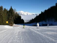
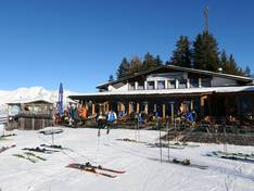
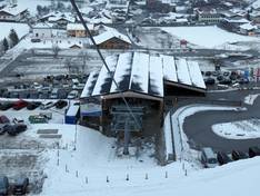
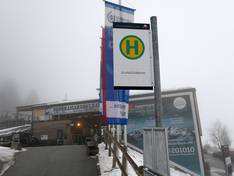
Orientation (Trail map, information boards, sign-postings) and safety in the ski resort Glungezer – Tulfes
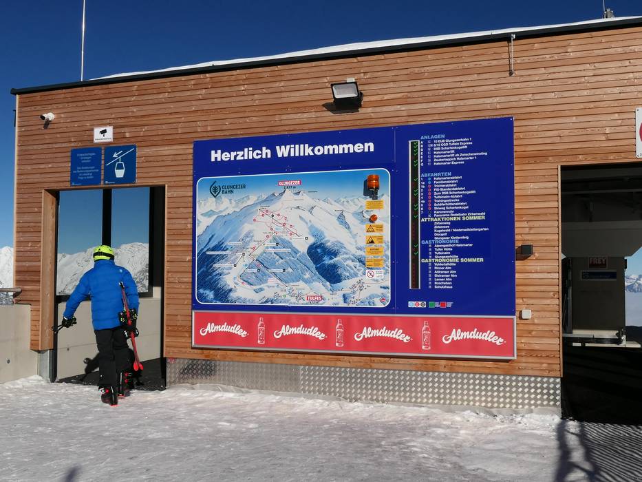
Trail map and overview maps
The slope map provides a good overview of the Glungezer ski area. The lifts, slopes, and dining options are all marked and labeled with names. The types of lifts are also indicated. The altitude is given at the most important stations. It would be helpful to also include the length of the lifts and slopes.
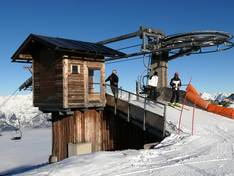
Information boards and sign-postings on the slopes
Large information boards with real-time information are installed at the valley, mid, and mountain stations. The signage and marking on the slopes could be more comprehensive.
Trail map

Glungezer – Tulfes Season 2025/2026
10 strengths of this ski resort


Feedback for the Skiresort.info Team? Please use this form


Select specific criteria
Top evaluation criteria
Further evaluation criteria
Orientation (trail map, information boards, sign-postings)
Evaluation criteria for special interests
Feedback for the Skiresort.info Team? Please use this form