Ski resorts Italy


Route planner Folgaria/Fiorentini
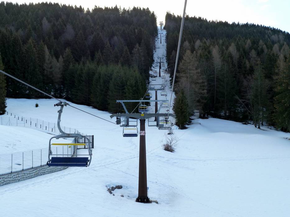
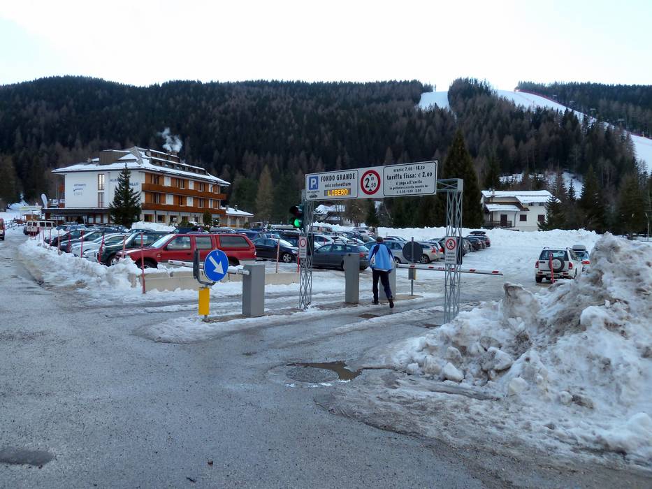
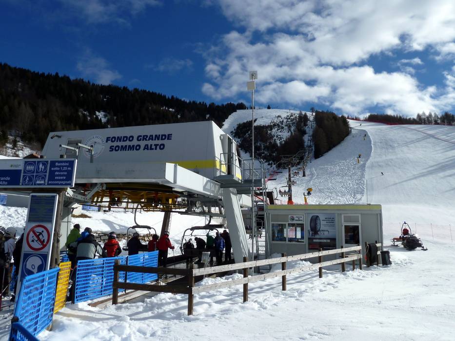
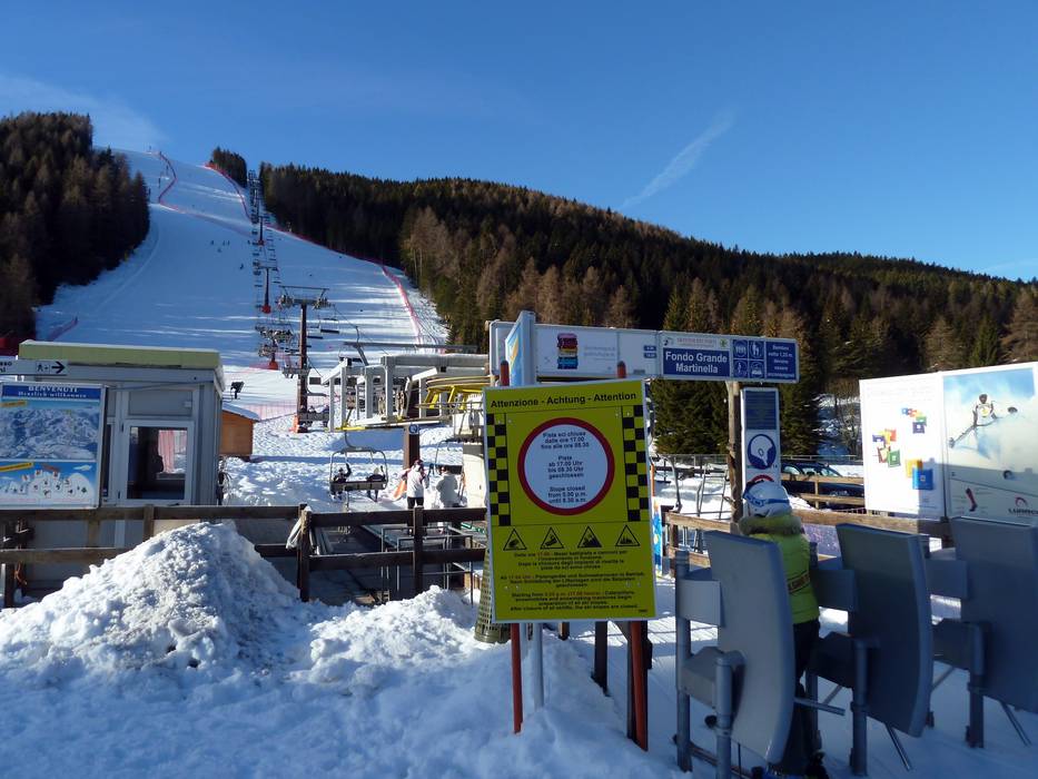
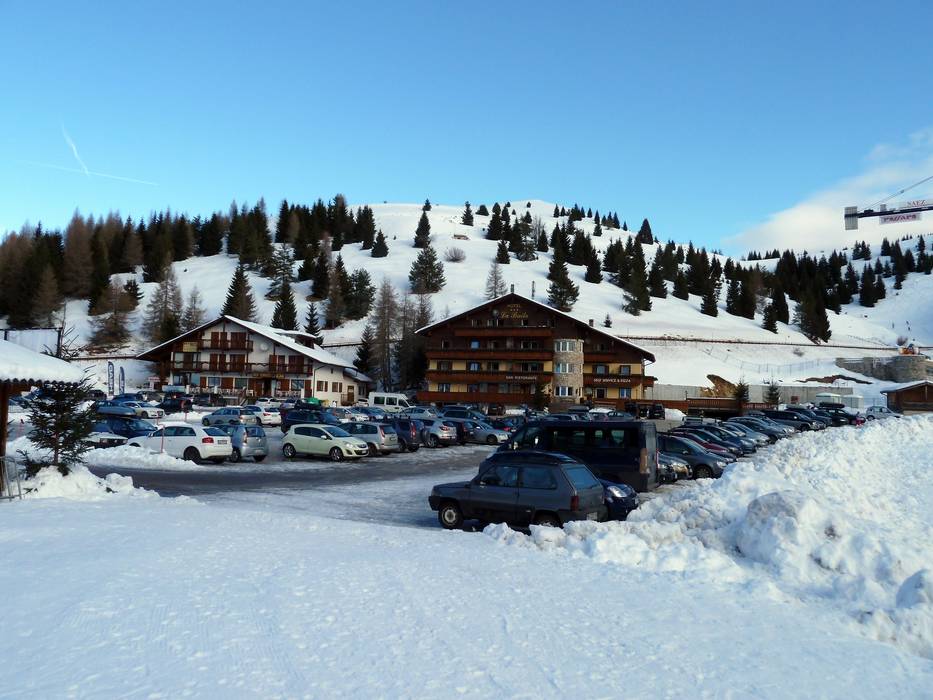
Access Folgaria/Fiorentini & on-site parking
The majority of the Folgaria-Fiorentini ski resort is located in Trentino and it stretches into Veneto. It lies on a high plateau and is accessible via mountain roads from the Brenner-Modena expressway as well as from the Vicenca-Chiuppano expressway. There are parking lots at all base stations, but some of them charge a fee for parking.Access via
- Autobahn A22 Brenner-Verona, Ausfahrt Trento Süd
27 km approx. 32 min » - Autobahn A22 Brenner-Verona, Ausfahrt Rovereto Nord
22 km approx. 32 min » - Autobahn A31 Vicenca-Chiuppano, Autobahnende Piovene-Chiuppano
35 km approx. 49 min »
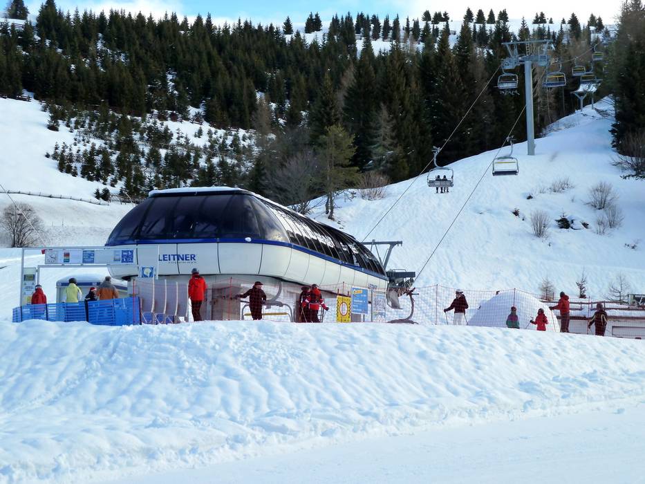
Mobility on-site
- Ski buses
- Scheduled buses
- Ski buses connect the village of Folgaria to the ski resort.
Access via Autobahn A22 Brenner-Verona, Ausfahrt Trento Süd
27 km Distance - approx. 32 Minutes driving time
Destination - Via Negheli, 87, 38064 Folgaria, Italy
- Ideal entry for day visitors
- View on Google Maps
- usually enough available, tarmac car park, gravel car park
- for a fee, 2,- / per day
- Side road, Mountain road, partially developed, with significant incline
- Snow chains sometimes required by snowfall
- Road closure due to avalanches unlikely

29 km Distance - approx. 34 Minutes driving time
Destination - Strada Provinciale 143, 38064 Fondo Grande, Italy
- Ideal entry for day visitors
- View on Google Maps
- enough available, tarmac car park, gravel car park
- for a fee, 2,- / per day
- Side road, Mountain road, partially developed, with significant incline
- Snow chains sometimes required by snowfall
- Road closure due to avalanches unlikely

30 km Distance - approx. 36 Minutes driving time
Destination - Corso Pavesse, 38064 Serrada, Italy
- Ideal entry for day visitors
- View on Google Maps
- limited amount available, tarmac car park, gravel car park
- free of charge
- Side road, Mountain road, partially developed, with significant incline
- Snow chains sometimes required by snowfall
- Road closure due to avalanches unlikely

Access via Autobahn A22 Brenner-Verona, Ausfahrt Rovereto Nord
22 km Distance - approx. 32 Minutes driving time
Destination - Via Negheli, 87, 38064 Folgaria, Italy
- Ideal entry for day visitors
- View on Google Maps
- usually enough available, tarmac car park, gravel car park
- for a fee, 2,- / per day
- Side road, Mountain road, partially developed, with significant incline
- Snow chains sometimes required by snowfall
- Road closure due to avalanches unlikely
23 km Distance - approx. 34 Minutes driving time
Destination - Strada Provinciale 143, 38064 Fondo Grande, Italy
- Ideal entry for day visitors
- View on Google Maps
- enough available, tarmac car park, gravel car park
- for a fee, 2,- / per day
- Side road, Mountain road, partially developed, with significant incline
- Snow chains sometimes required by snowfall
- Road closure due to avalanches unlikely
24 km Distance - approx. 35 Minutes driving time
Destination - Corso Pavesse, 38064 Serrada, Italy
- Ideal entry for day visitors
- View on Google Maps
- limited amount available, tarmac car park, gravel car park
- free of charge
- Side road, Mountain road, partially developed, with significant incline
- Snow chains sometimes required by snowfall
- Road closure due to avalanches unlikely
25 km Distance - approx. 37 Minutes driving time
Destination - Strada Provinciale 143, 38064 Folgaria, Italy
- Ideal entry for day visitors
- View on Google Maps
- enough available, tarmac car park, gravel car park
- free of charge
- Side road, Mountain road, partially developed, with significant incline
- Snow chains sometimes required by snowfall
- Road closure due to avalanches unlikely

Access via Autobahn A31 Vicenca-Chiuppano, Autobahnende Piovene-Chiuppano
35 km Distance - approx. 49 Minutes driving time
Destination - Strada Provinciale 64 Villaggio Fiorentini, 36040 Lastebasse, Italy
- Ideal entry for day visitors
- View on Google Maps
- limited amount available, tarmac car park, gravel car park
- free of charge
- Side road, Mountain road, with significant incline
- Snow chains sometimes required by snowfall
- Road closure due to avalanches unlikely

40 km Distance - approx. 55 Minutes driving time
Destination - Passo Coe, 38064 Folgaria, Italy
- Ideal entry for day visitors
- View on Google Maps
- usually enough available, gravel car park
- for a fee, 2,- / per day
- Side road, Mountain road, partially developed, with significant incline
- Snow chains sometimes required by snowfall
- Road closure due to avalanches unlikely

49 km Distance - approx. 60 Minutes driving time
Destination - Strada Provinciale 143, 38064 Folgaria, Italy
- Ideal entry for day visitors
- View on Google Maps
- enough available, tarmac car park, gravel car park
- free of charge
- Side road, Mountain road, partially developed, with significant incline
- Snow chains sometimes required by snowfall
- Road closure due to avalanches unlikely
More Entry point(s) to the ski resort
Destination
- SP142, 38064 Folgaria, Italy
- View on Google Maps
 Access to ski resort
  Town/village close to ski resort
  Traffic Junction
 All information is supplied without guarantee
The maps are provided by Google with the following information: „These directions are for planning purposes only. You may find that construction projects, traffic, weather, or other events may cause conditions to differ from the map results, and you should plan your route accordingly. You must obey all signs or notices regarding your route.“
Feedback for the Skiresort.info Team? Please use this form »
Book this ski resort


