Ski resorts Austria


Route planner Diedamskopf – Schoppernau
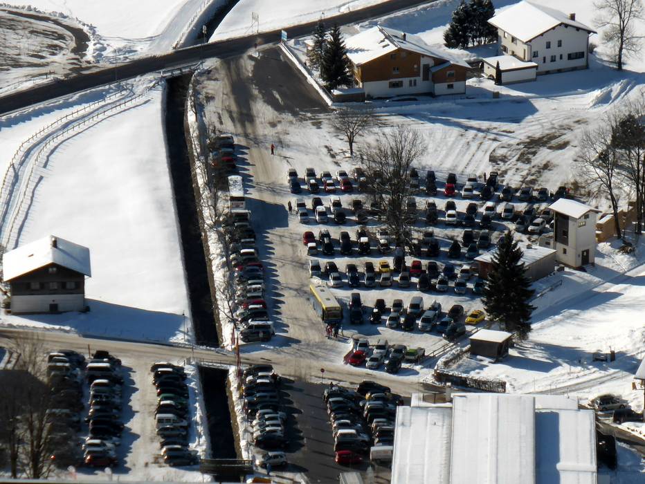
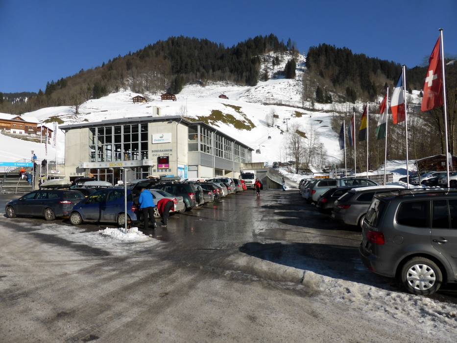
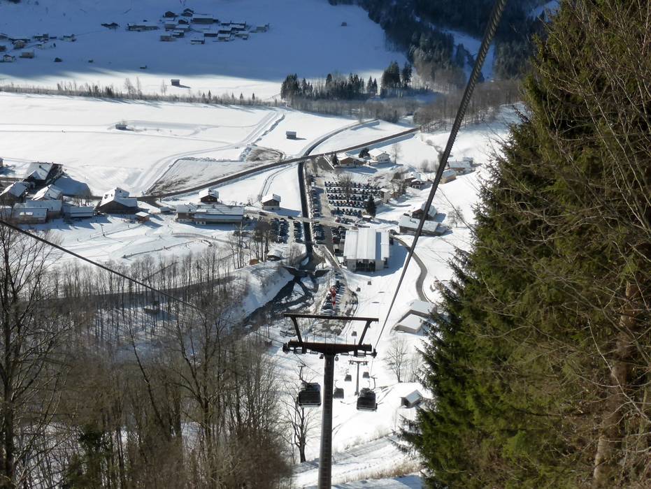
Access Diedamskopf – Schoppernau & on-site parking
The Schoppernau/Diedamskopf ski resort can be accessed via Dornbirn (Bregenz), via Bludenz or via Reutte (toll free access). There is sufficient parking available at the ski resort. Winter Closure
It is not possible to arrive via Lech-Zürs during the winter because the road between Lech and Warth is closed.
Access via
- Rheintal Autobahn, Exit Dornbirn Nord (North)
42 km approx. 45 min » - Rheintal Autobahn, Exit Bludenz-Nueziders
41 km approx. 50 min »
Mobility on-site
- Ski buses
- Scheduled buses
- Ski buses circulate in 20 or 40 minute cycles along the Au-Diedamskopf-Schoppernau route. A discount is offered on the price of a day pass with the Ski & Bus Ticket Bregenzerwald. Guests with a WinterCard and those with a 3TälerPass (3 valley pass) can ride the regional buses for free.
Access via Rheintal Autobahn, Exit Dornbirn Nord (North)
42 km Distance - approx. 45 Minutes driving time
Destination - Halde 300, 6886 Schoppernau, Austria
- Ideal entry for day visitors
- View on Google Maps
- usually enough available, tarmac car park
- free of charge
- Main street, well-developed
- Snow chains often required by snowfall
- Road closure due to avalanches unlikely

Access via Rheintal Autobahn, Exit Bludenz-Nueziders
41 km Distance - approx. 50 Minutes driving time
Destination - Halde 300, 6886 Schoppernau, Austria
- Ideal entry for day visitors
- View on Google Maps
- usually enough available, tarmac car park
- free of charge
 Access to ski resort
  Town/village close to ski resort
  Traffic Junction
 All information is supplied without guarantee
The maps are provided by Google with the following information: „These directions are for planning purposes only. You may find that construction projects, traffic, weather, or other events may cause conditions to differ from the map results, and you should plan your route accordingly. You must obey all signs or notices regarding your route.“
Feedback for the Skiresort.info Team? Please use this form »
Book this ski resort
Tips for the ski holiday

")

