Ski resorts Switzerland


Route planner Diavolezza/Lagalb
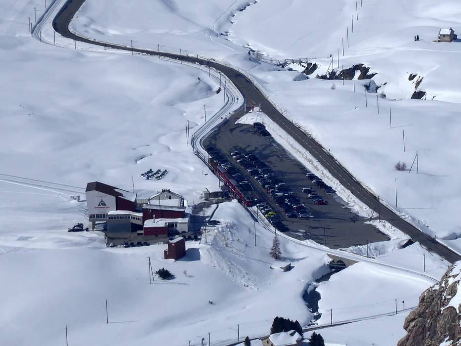
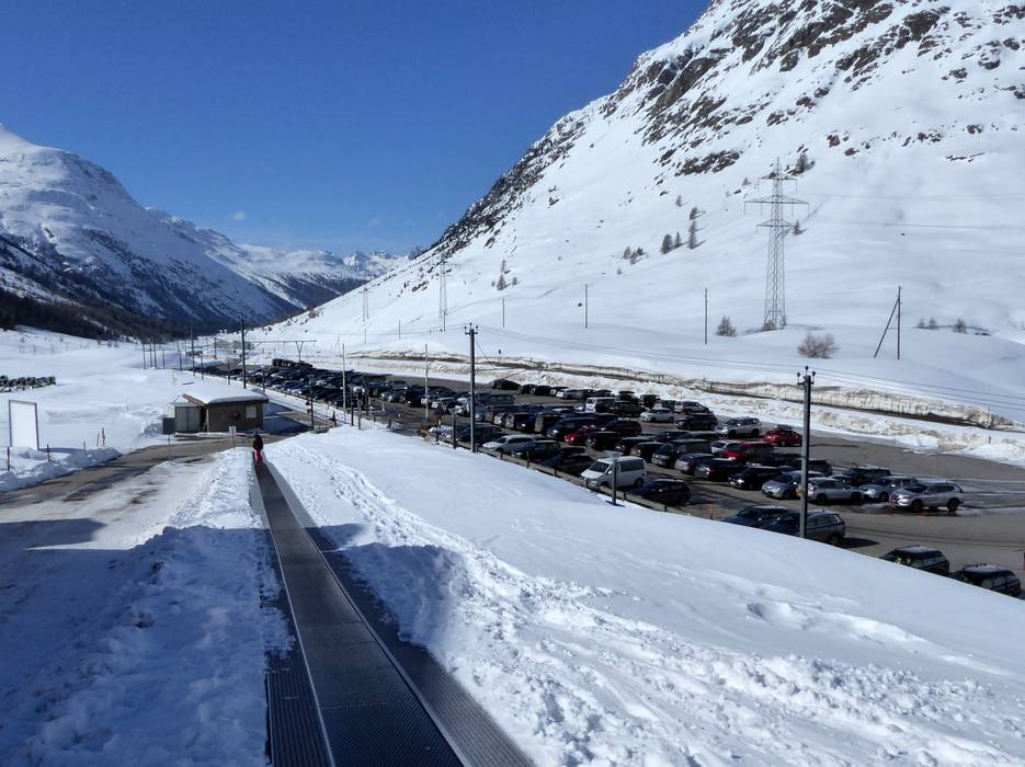
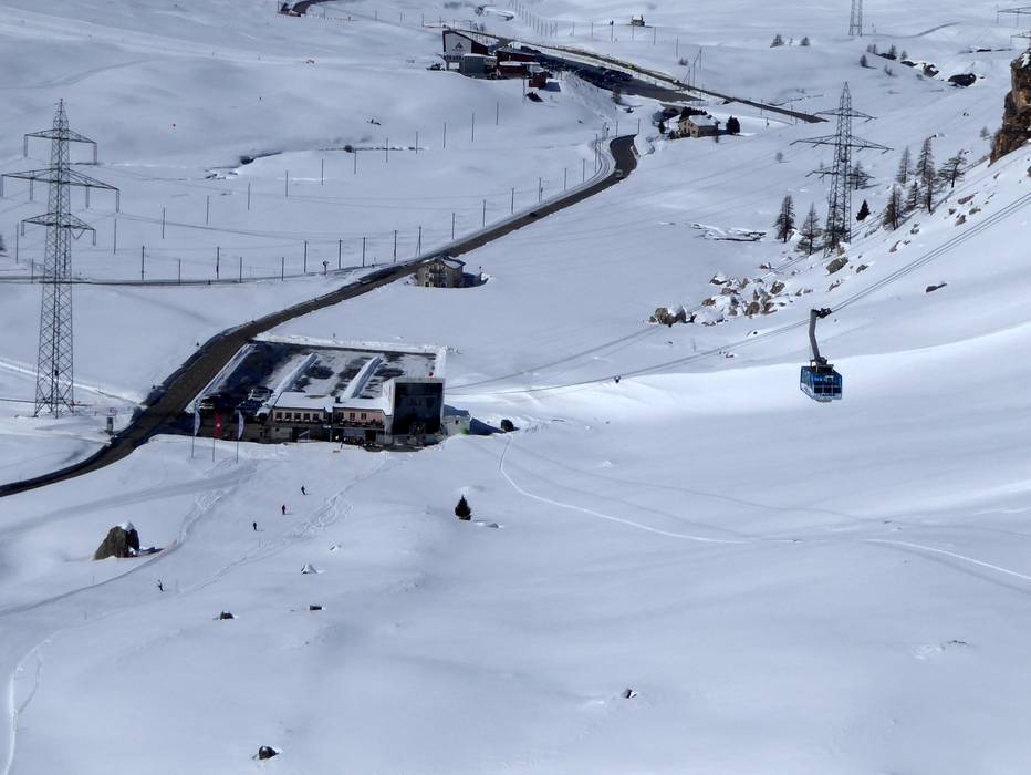
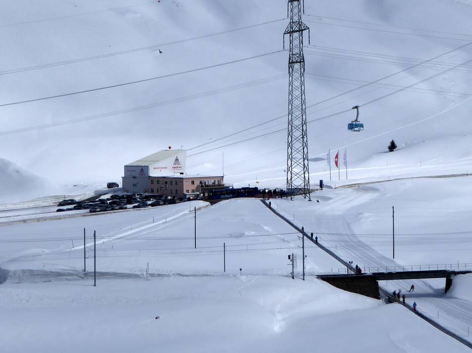
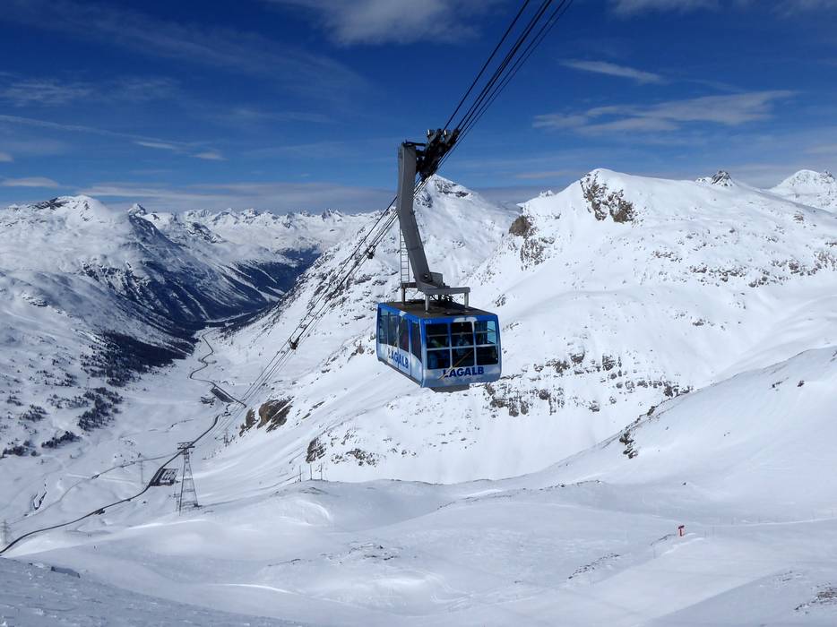
Access Diavolezza/Lagalb & on-site parking
The ski resort of Diavolezza/Lagalb is located in the winter sports region of Engadin St. Moritz, 17 kilometres from the world-famous ski resort of St. Moritz. It is within easy reach of St. Moritz or Pontresina by car, Sportbus or a Rhätische Bahn train. RhB (Rhätische Bahn) train stops are located beside the Diavolezza and Lagalb base stations. Both car parks are tarmacked and free of charge. The region can be accessed over various mountain passes or the Vereina Tunnel (car transporter). The ski resort is 3 hours from Zurich, 4 hours from Munich, 3 hours from Milan and around 3 hours from Innsbruck. The nearest motorways are relatively far. Winter Closure
The Albula Pass closes in winter and the Flüela Pass generally closes too. Access is via Lower Engadin or Savognin. Visitors should always check the latest travel information as some roads can often be closed temporarily due to snowfall.
Access via
- A12 Inntal Autobahn, Exit Reschen
127 km approx. 112 min » - Autobahn A13 St. Margrethen-Bellinzona, Exit Thusis Süd (South)
70 km approx. 94 min »
Mobility on-site
- Comprehensive ski bus network
- No scheduled buses
- Engadin Bus operates an extensive bus network around St. Moritz. A ski bus runs from Maloja, Sils, Silvaplana, St. Moritz, Celerina and Pontresina to the Diavolezza and Lagalb cable cars.
Access via A12 Inntal Autobahn, Exit Reschen
127 km Distance - approx. 112 Minutes driving time
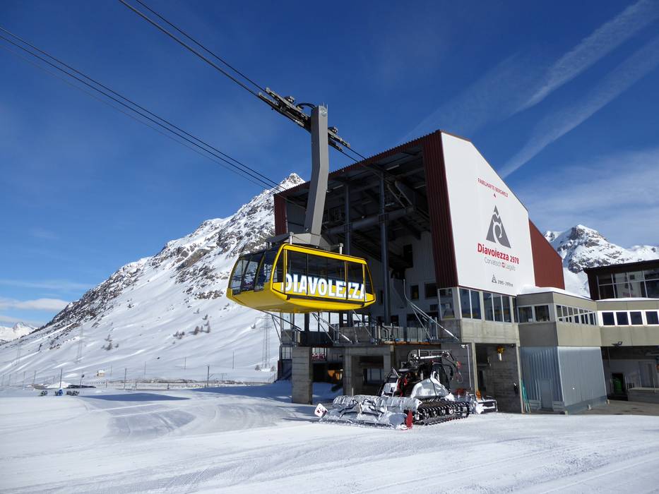
Destination - Talstation Diavolezza, 7504 Pontresina, Switzerland
- Ideal entry for day visitors
- View on Google Maps
- usually enough available, tarmac car park
- free of charge
- Side road, Mountain road, well-developed, with significant incline
- Snow chains sometimes required by snowfall
- Road closure due to avalanches sometimes possible

Access via Autobahn A13 St. Margrethen-Bellinzona, Exit Thusis Süd (South)
70 km Distance - approx. 94 Minutes driving time
Destination - Talstation Diavolezza, 7504 Pontresina, Switzerland
- Ideal entry for day visitors
- View on Google Maps
- usually enough available, tarmac car park
- free of charge
- Side road, well-developed, with significant incline
- Snow chains sometimes required by snowfall
- Road closure due to avalanches sometimes possible
More Entry point(s) to the ski resort
Destination
- Talstation Lagalb, 7504 Pontresina, Switzerland
- Ideal entry for day visitors
- View on Google Maps
- usually enough available, tarmac car park
- free of charge

 Access to ski resort
  Town/village close to ski resort
  Traffic Junction
 All information is supplied without guarantee
The maps are provided by Google with the following information: „These directions are for planning purposes only. You may find that construction projects, traffic, weather, or other events may cause conditions to differ from the map results, and you should plan your route accordingly. You must obey all signs or notices regarding your route.“
Feedback for the Skiresort.info Team? Please use this form »
Book this ski resort

Tips for the ski holiday


