Ski resorts Austria


Route planner Damüls Mellau
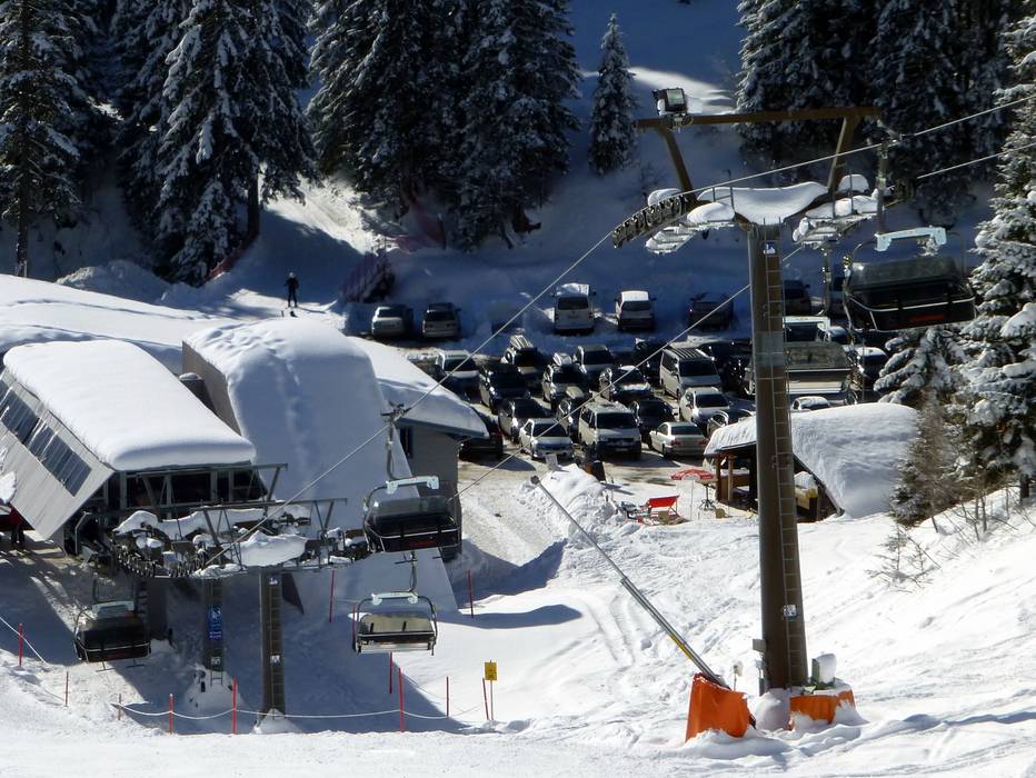
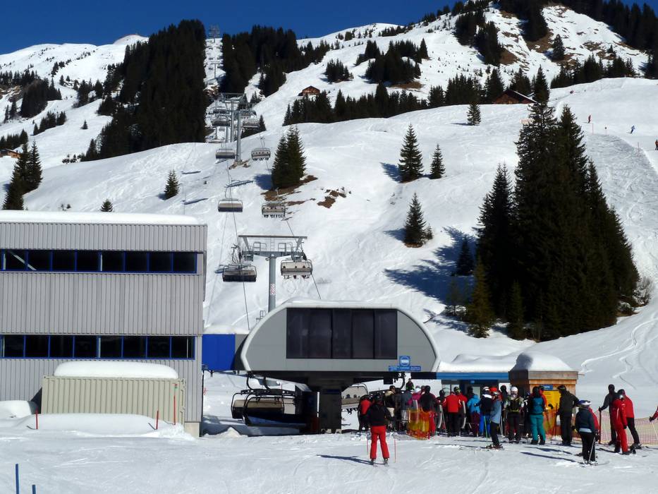
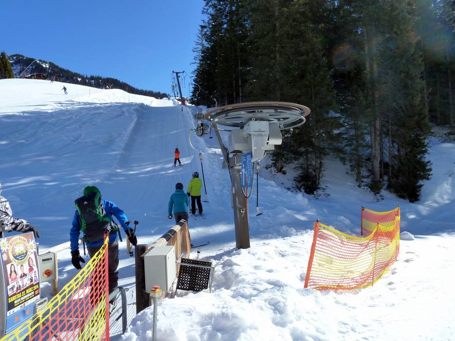
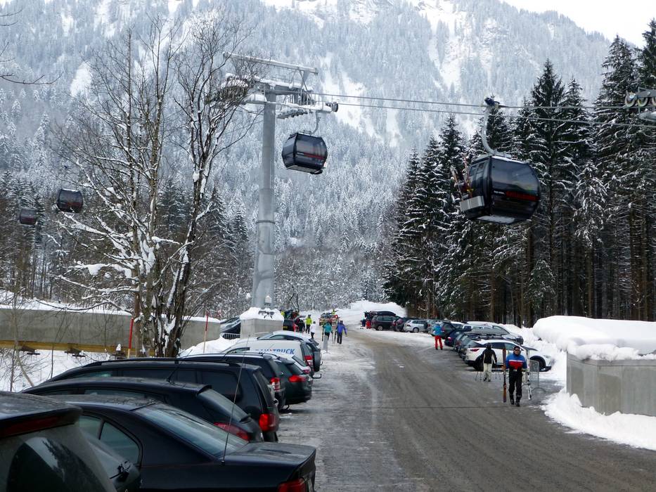
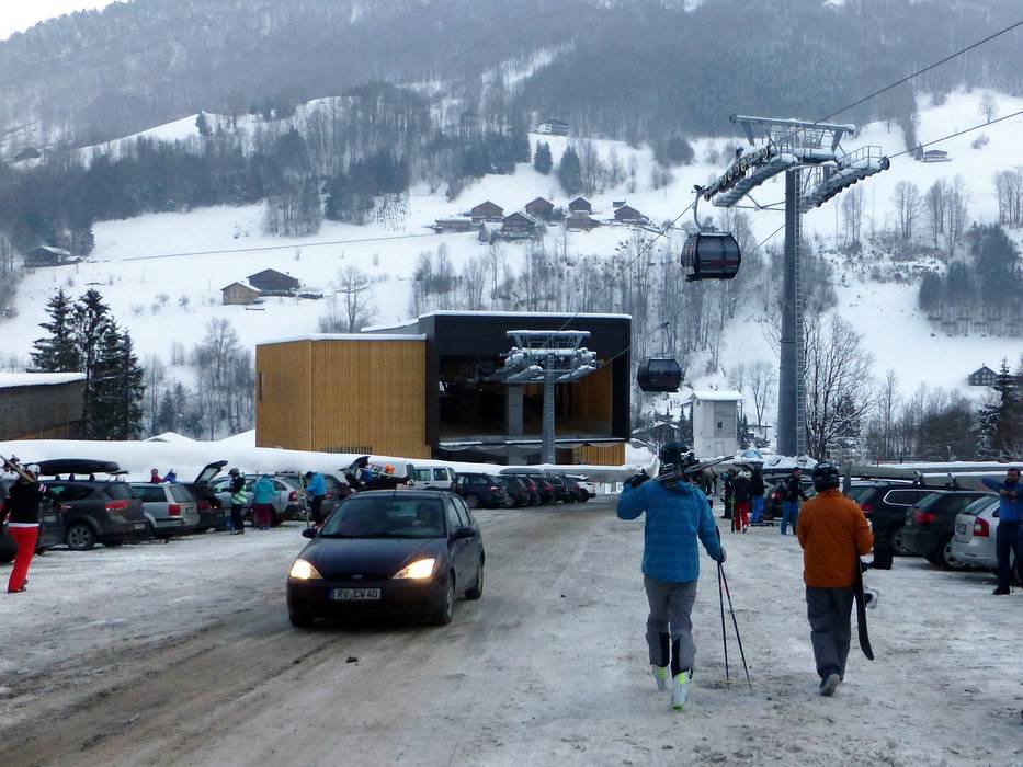
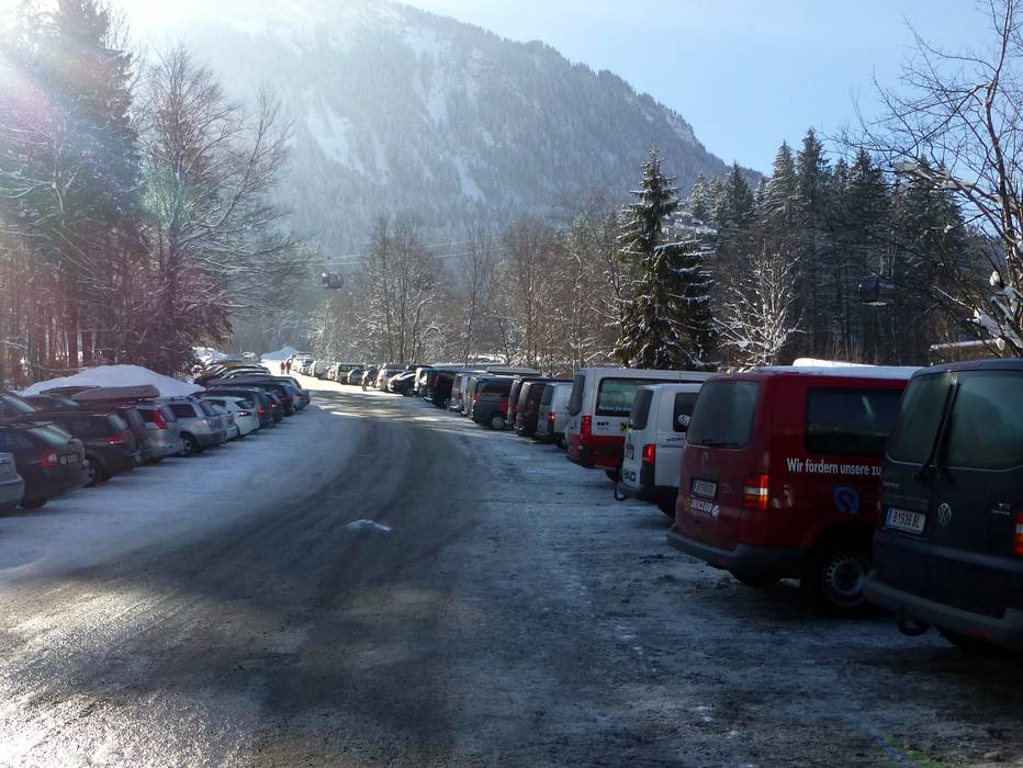
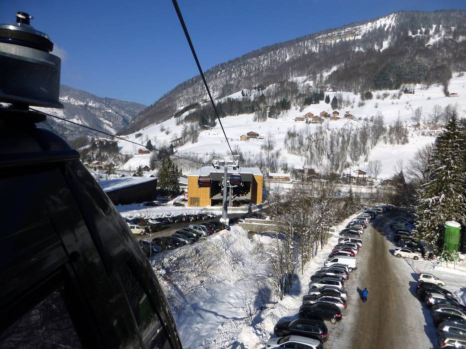
Access Damüls Mellau & on-site parking
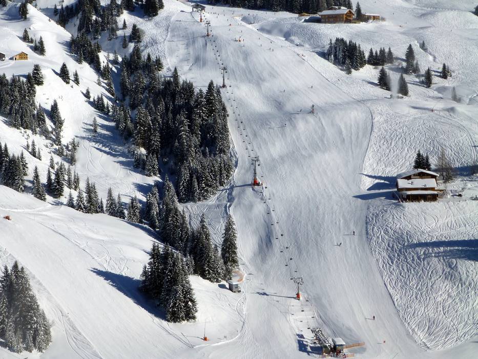
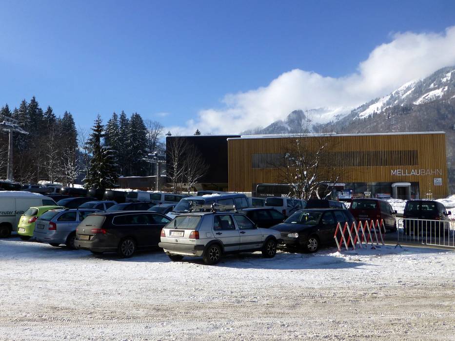
The Damüls-Mellau ski resort is located in the heart of the Bregenz Forest and is accessible from two sides. Mellau is accessible from the Rhine Valley through the Bregenz Forsest. Damüls is best accessed from the Rhine Valley via the Große Walsertal. Both are about 30 km from the Autobahn. You can also access the ski resort via the Lech Valley and Warth-Schröcken, but there are many long mountain roads on this route so it is better to travel via the Rhine Valley. There is free parking at all base stations.Access via
- Rheintal Autobahn, Exit Nenzing
29 km approx. 30 min » - Rheintal Autobahn, Exit Bludenz-Nueziders
31 km approx. 31 min » - Rheintal Autobahn, Exit Dornbirn Nord (North)
32 km approx. 33 min »
Mobility on-site
- Comprehensive ski bus network
- Scheduled buses
- Damüls and Mellau have their own city buses that bring guests to the base stations.
Access via Rheintal Autobahn, Exit Nenzing
29 km Distance - approx. 30 Minutes driving time
Destination - Damüls 74, 6884 Damüls, Austria
- Ideal entry for day visitors
- View on Google Maps
- limited amount available, tarmac car park
- free of charge
- Side road, Mountain road, with significant incline
- Snow chains sometimes required by snowfall
- Road closure due to avalanches sometimes possible

30 km Distance - approx. 32 Minutes driving time
Destination - Damüls 56, 6884 Damüls, Austria
- Ideal entry for day visitors
- View on Google Maps
- enough available, tarmac car park, gravel car park, grass car park
- free of charge
- Side road, Mountain road, with significant incline
- Snow chains sometimes required by snowfall
- Road closure due to avalanches sometimes possible

Access via Rheintal Autobahn, Exit Bludenz-Nueziders
31 km Distance - approx. 31 Minutes driving time
Destination - Damüls 74, 6884 Damüls, Austria
- Ideal entry for day visitors
- View on Google Maps
- limited amount available, tarmac car park
- free of charge
- Side road, Mountain road, with significant incline
- Snow chains sometimes required by snowfall
- Road closure due to avalanches sometimes possible
31 km Distance - approx. 33 Minutes driving time
Destination - Damüls 56, 6884 Damüls, Austria
- Ideal entry for day visitors
- View on Google Maps
- enough available, tarmac car park, gravel car park, grass car park
- free of charge
- Side road, Mountain road, with significant incline
- Snow chains sometimes required by snowfall
- Road closure due to avalanches sometimes possible
Access via Rheintal Autobahn, Exit Dornbirn Nord (North)
32 km Distance - approx. 33 Minutes driving time
Destination - Hinterbündt 380, 6881 Mellau, Austria
- Ideal entry for day visitors
- View on Google Maps
- enough available, tarmac car park, gravel car park, grass car park
- free of charge
- Main street, Side road, Mountain road, well-developed
- Snow chains sometimes required by snowfall
- Road closure due to avalanches unlikely

More Entry point(s) to the ski resort
Destination
- Damüls 195, 6884 Damüls, Austria
- Entry suitable for day visitors
- View on Google Maps
- limited amount available, gravel car park
- free of charge

Destination
- Damüls 144, Damüls, Austria
- View on Google Maps
 Access to ski resort
  Town/village close to ski resort
  Traffic Junction
 All information is supplied without guarantee
The maps are provided by Google with the following information: „These directions are for planning purposes only. You may find that construction projects, traffic, weather, or other events may cause conditions to differ from the map results, and you should plan your route accordingly. You must obey all signs or notices regarding your route.“
Feedback for the Skiresort.info Team? Please use this form »
Book this ski resort
Test Reports

