Ski resorts Switzerland

Orientation (Trail map, information boards, sign-postings) Brigels/Waltensburg/Andiast

Evaluated by Skiresort.info, the world's largest test portal for ski resorts.
The evaluation is done as follows
Orientation and safety in the ski resort Brigels/Waltensburg/Andiast
Trail map and overview maps
The piste map provides a very clear overview of the ski resort of Brigels/Waltensburg/Andiast. All important points are shown and most are described. The summer hiking trails are shown on the reverse.
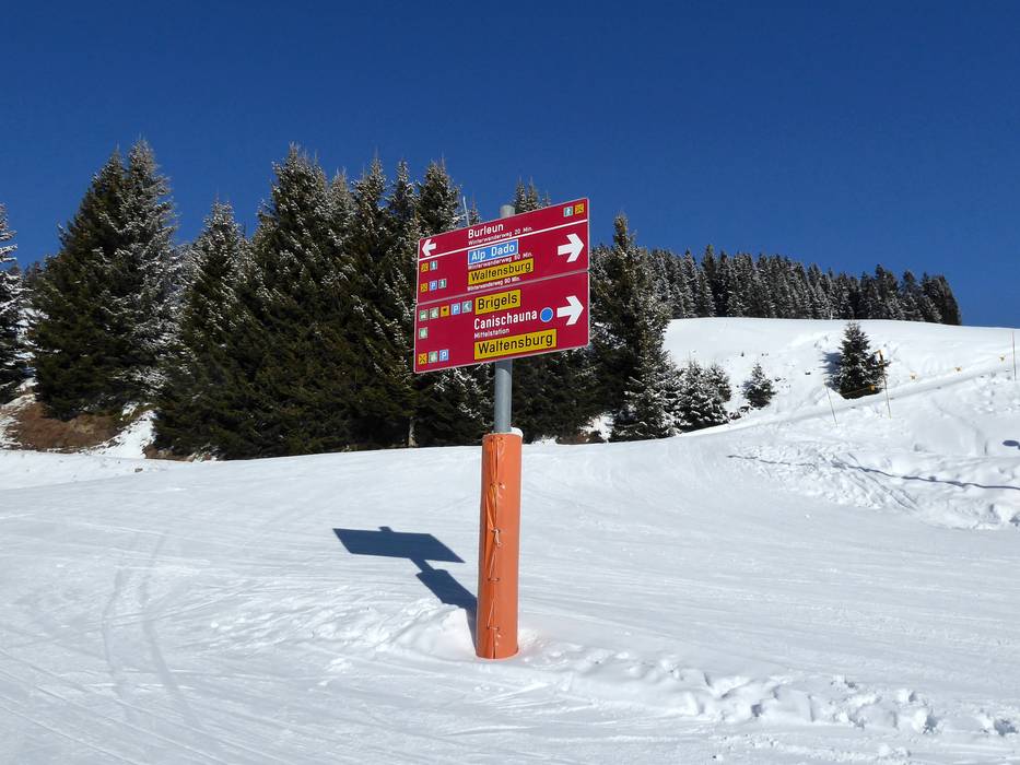
Information boards and sign-postings on the slopes
Several information boards and signposts assist with orientation. Updated operating information is provided at the base stations. The slope markings are clearly identifiable and this also makes it very easy to find your way in the upper part of the ski resort even in fog.
Trail map

Brigels/Waltensburg/Andiast Season 2023/2024


Feedback for the Skiresort.info Team? Please use this form »
Select specific criteria
Top evaluation criteria
Further evaluation criteria
Orientation (trail map, information boards, sign-postings)
Evaluation criteria for special interests
Feedback for the Skiresort.info Team? Please use this form »
Book this ski resort
Test Reports


Tips for the ski holiday

