Ski resorts France

")
Route planner Brévent/Flégère (Chamonix)
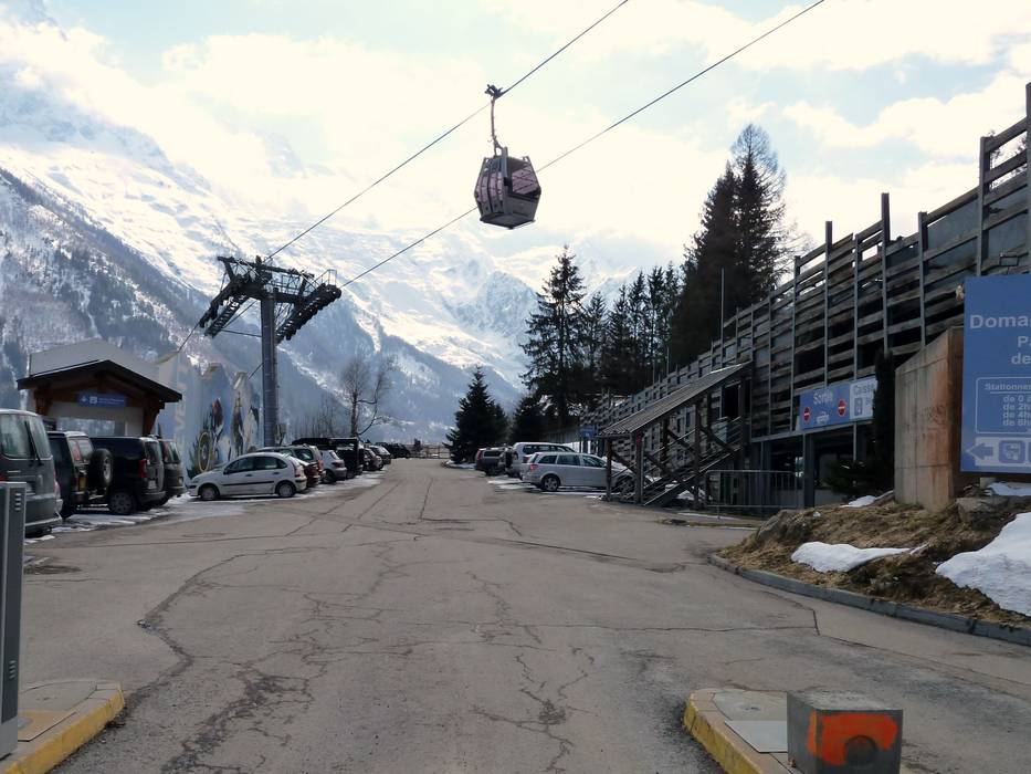
Access Brévent/Flégère (Chamonix) & on-site parking
From the Chamonix exit of the A40 L´Autoroute Blanche, it's only 3 km to the ski resort. The A40 L´Autoroute Blanche comes from the west via Geneva. When arriving via Wallis (Switzerland), you travel via Martigny (A9 Autoroute du Rhône) on a mountain road. Access from the south (via Courmayeur, Italy) is via the Tunnel du Mont Blanc. The toll for the tunnel is approx. 40.- Euro. Unfortunately, there is a fee for parking in the parking lots.Access via
- Autobahn A40 (Autoroute blanche A40), Exit Chamonix
2 km approx. 4 min » - Autobahn A5 Aosta-Courmayeur, End of Autobahn Courmayeur
19 km approx. 18 min » - A9 Autoroute du Rhône, Exit Martigny-Croix
38 km approx. 38 min »
Mobility on-site
- Comprehensive ski bus network
- Scheduled buses
- They encourage the use of the Chamonix Valley Public Transport System.
Access via Autobahn A40 (Autoroute blanche A40), Exit Chamonix
2 km Distance - approx. 4 Minutes driving time
Destination - Route Henriette d'Angeville, 74400 Chamonix-Mont-Blanc, France
- Ideal entry for day visitors
- View on Google Maps
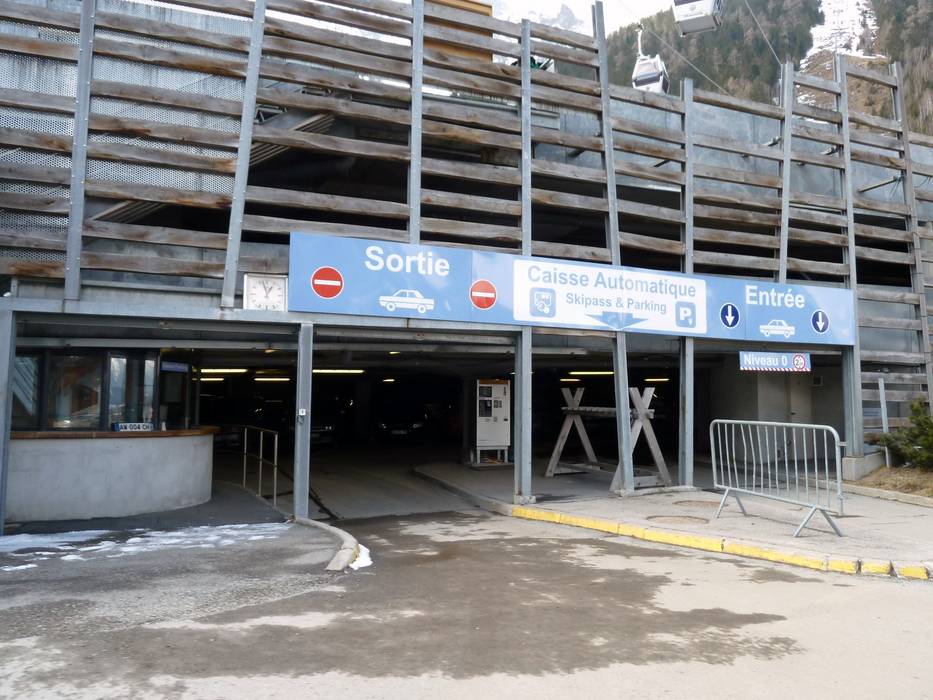
- usually enough available, underground car park, tarmac car park
- for a fee, € 8,- / per day
- Main street, Side road, well-developed, without significant incline
- Snow chains almost never required by snowfall
- Road closure due to avalanches extremely unlikely

Access via Autobahn A5 Aosta-Courmayeur, End of Autobahn Courmayeur
19 km Distance - approx. 18 Minutes driving time
Destination - Route Henriette d'Angeville, 74400 Chamonix-Mont-Blanc, France
- Ideal entry for day visitors
- View on Google Maps
- usually enough available, underground car park, tarmac car park
- for a fee, € 8,- / per day
- Highway, Main street, well-developed
- Snow chains sometimes required by snowfall
- Road closure due to avalanches unlikely
Access via A9 Autoroute du Rhône, Exit Martigny-Croix
38 km Distance - approx. 38 Minutes driving time
Destination - 35 Chemin Paul Simond, 74400 Chamonix-Mont-Blanc, France
- Ideal entry for day visitors
- View on Google Maps
- limited amount available, tarmac car park
- for a fee
- Side road, Mountain road, well-developed, with significant incline
- Snow chains sometimes required by snowfall
- Road closure due to avalanches sometimes possible
More Entry point(s) to the ski resort
Destination
- Impasse des Primevères, 74400 Chamonix-Mont-Blanc, France
- View on Google Maps
 Access to ski resort
  Town/village close to ski resort
  Traffic Junction
 All information is supplied without guarantee
The maps are provided by Google with the following information: „These directions are for planning purposes only. You may find that construction projects, traffic, weather, or other events may cause conditions to differ from the map results, and you should plan your route accordingly. You must obey all signs or notices regarding your route.“
Feedback for the Skiresort.info Team? Please use this form »
Book this ski resort

Tips for the ski holiday


