Test result
Evaluated by Skiresort.info, the world's largest test portal for ski resorts.
The evaluation is done as follows
Orientation (Trail map, information boards, sign-postings) and safety in the ski resort Balderschwang – Hochschelpen/Riedberger Horn
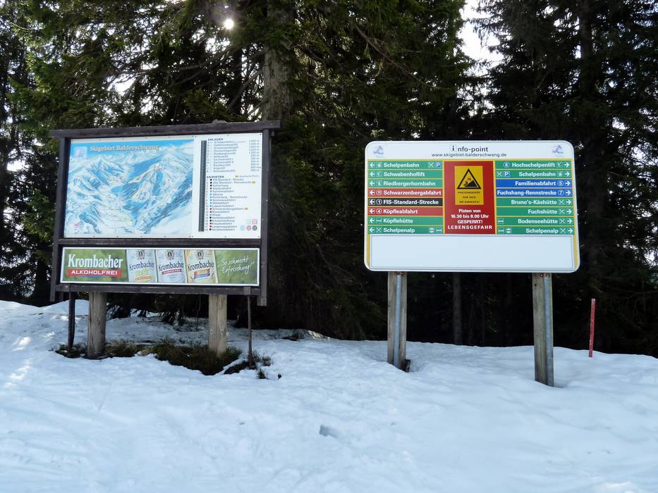
Trail map and overview maps
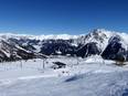
The piste map provides a good overview of the Balderschwang ski area with the Riedberger Horn and the Schelpen. All slopes and lifts are marked with information. Dining options, parking areas, cross-country trails, and altitude details are also included.
Information boards and sign-postings on the slopes
At key points in the ski area, you will find trail maps and operational information. Almost all of the slopes are signposted.
Trail map

Balderschwang Season 2025/2026

Hörnerdörfer Season 2025/2026
Top Orientation


7 strengths of this ski resort


Feedback for the Skiresort.info Team? Please use this form

Select specific criteria
Top evaluation criteria
Further evaluation criteria
Orientation (trail map, information boards, sign-postings)
Evaluation criteria for special interests
Feedback for the Skiresort.info Team? Please use this form
Test Reports

Tips for the ski holiday