Ski resorts France

")
Route planner Auron (Saint-Etienne-de-Tinée)
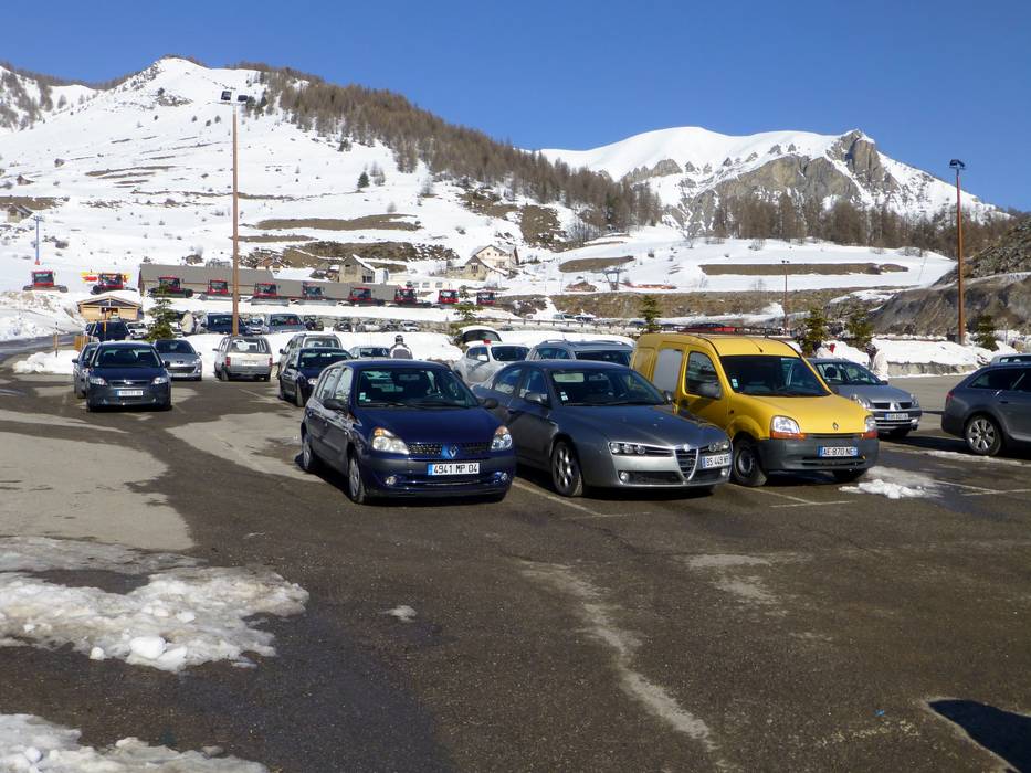
Access Auron (Saint-Etienne-de-Tinée) & on-site parking
It's 80 km from the Autobahn A8 exit (near Nice) to the ski resort. At the beginning, the roads have two lanes in each direction, but afterwards, they are narrower. The base station of the La Pinatelle circulating gondola lift can be accessed via the main road without much of an incline. The access to the parking lots in Auron is a bit trickier. Guests must drive up some steep sections in order to get there, which can cause problems when snow has fallen. Winter Closure
Access from Italy via the Col de Lombarde is not possible during the winter.
Mobility on-site
- No ski buses
- Scheduled buses
- There is no ski bus. A scheduled bus provides daily access to Auron from the city of Nice and the Nice Airport, however you must purchase a ticket!
Access via A8, La Provençale, Exit 52 Nice-Saint-Isidore
79 km Distance - approx. 80 Minutes driving time
Destination - Boulevard d'Auron, 06660 Saint-Etienne-de-Tinée, France
- Ideal entry for day visitors
- View on Google Maps
- limited amount available, tarmac car park
- free of charge
- Motorway, Highway, Main street, well-developed, without significant incline
- Snow chains almost never required by snowfall
- Road closure due to avalanches sometimes possible

83 km Distance - approx. 87 Minutes driving time
Destination - Auron Est, 06660 Auron, France
- Entry suitable for day visitors
- View on Google Maps
- limited amount available, gravel car park
- free of charge
- Motorway, Highway, Main street, well-developed, with significant incline
- Snow chains sometimes required by snowfall
- Road closure due to avalanches sometimes possible

84 km Distance - approx. 88 Minutes driving time
Destination - Chastellares, 06660 Auron, France
- Entry suitable for day visitors
- View on Google Maps
- enough available, tarmac car park
- free of charge
- Motorway, Highway, Main street, well-developed, with significant incline
- Snow chains sometimes required by snowfall
- Road closure due to avalanches sometimes possible

 Access to ski resort
  Town/village close to ski resort
  Traffic Junction
 All information is supplied without guarantee
The maps are provided by Google with the following information: „These directions are for planning purposes only. You may find that construction projects, traffic, weather, or other events may cause conditions to differ from the map results, and you should plan your route accordingly. You must obey all signs or notices regarding your route.“
Feedback for the Skiresort.info Team? Please use this form »
Book this ski resort
Tips for the ski holiday


