Ski resorts Switzerland

Access Arosa Lenzerheide/Parking Arosa Lenzerheide
Evaluated by Skiresort.info, the world's largest test portal for ski resorts.
The evaluation is done as follows
Access, Parking Arosa Lenzerheide
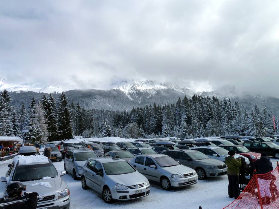
The ski resort of Arosa Lenzerheide is in the heart of the canton of Grisons. Access is either via Chur or Thusis. The drive from Chur to Arosa is up a mountain road with 360 bends. Lenzerheide is a bit easier to access, but is also via a mountain road. The ideal entry point for day visitors arriving from the north (Chur) is the Panoramabahn Heidbüel lift in Churwalden. Unfortunately, parking charges apply in all locations.
Access via Autobahn A13 St. Margrethen-Bellinzona, Exit Chur Nord/Arosa
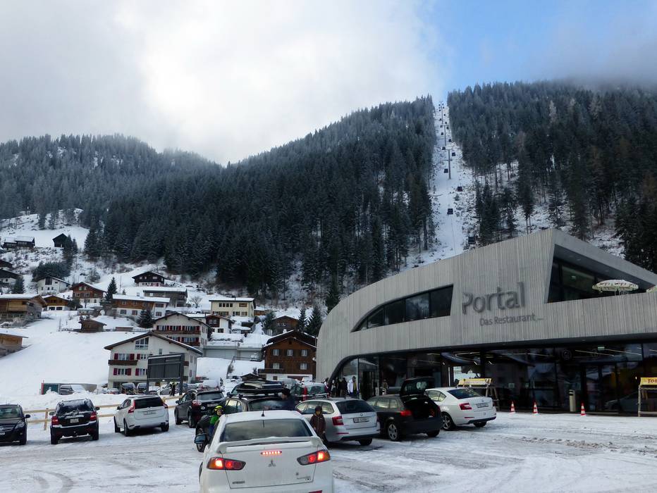
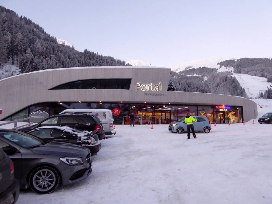
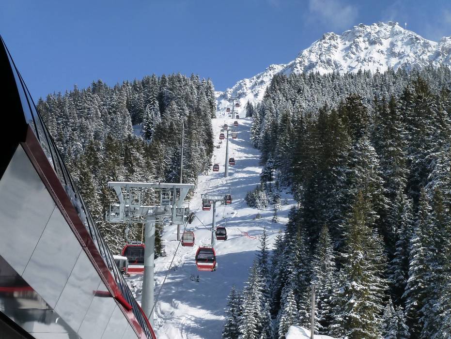
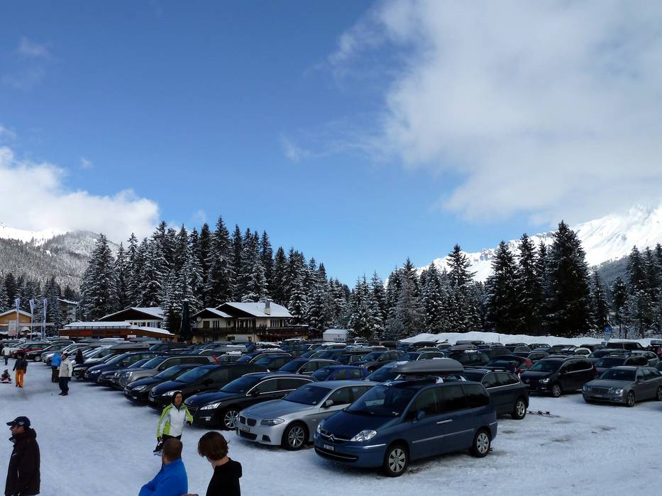
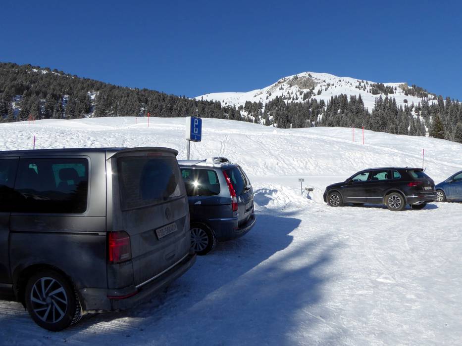
Panoramabahn Churwalden-Heidbüel | Pradaschier | Pradafenz (Churwalden)
Ideal entry for day visitors
- Distance: 13 km
- approx. 19 Minutes driving time
Roads: Main street, Side road, Mountain road, well-developed
Parking spaces: enough available, tarmac car park, gravel car park, for a fee
View on Google Maps
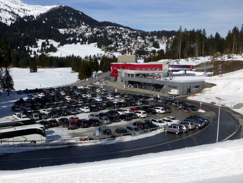
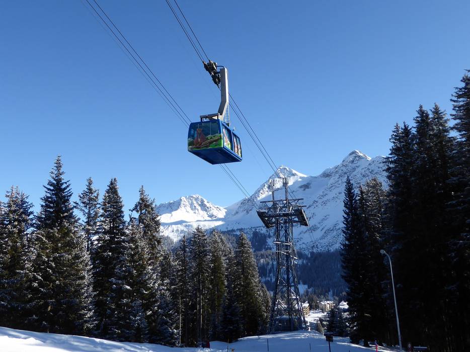
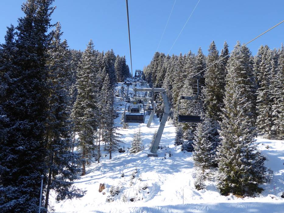
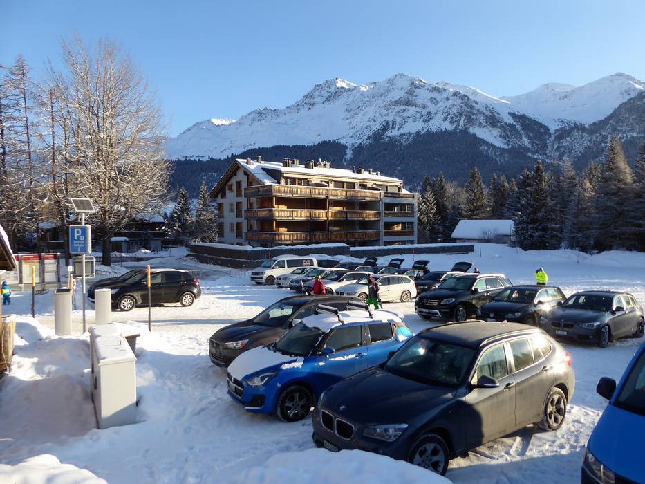
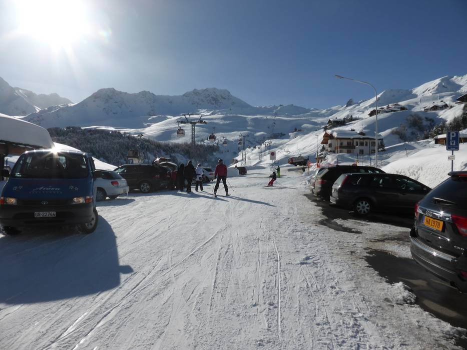
Rothornbahn 1 (Canols-Scharmoin) (Lenzerheide)
Ideal entry for day visitors
- Distance: 19 km
- approx. 24 Minutes driving time
Roads: Main street, Side road, Mountain road, well-developed, with significant incline
Parking spaces: usually enough available, tarmac car park, gravel car park, for a fee
View on Google Maps
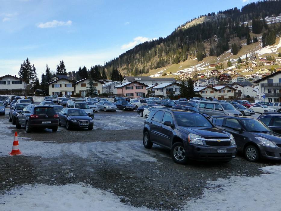
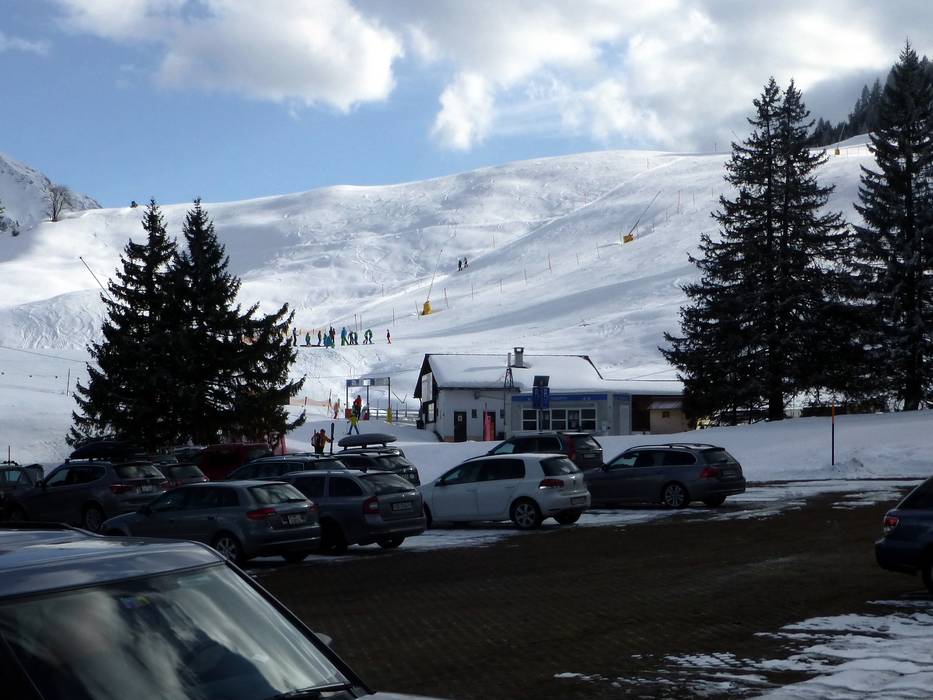
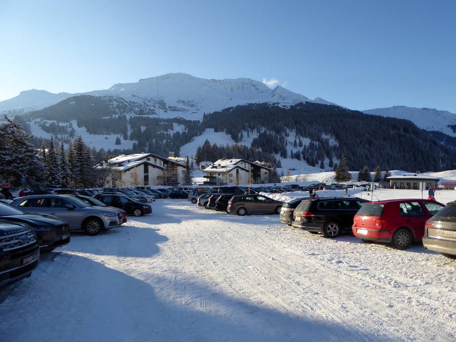
Weisshornbahn I | Tschuggen Ost (Arosa)
Entry suitable for day visitors
- Distance: 31 km
- approx. 48 Minutes driving time
Roads: Mountain road, partially developed, with significant incline
Parking spaces: limited amount available, covered car park, for a fee
View on Google Maps
Access via Autobahn A13 St. Margrethen-Bellinzona, Exit Thusis Süd (South)
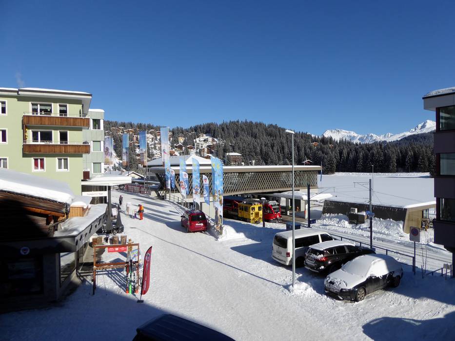
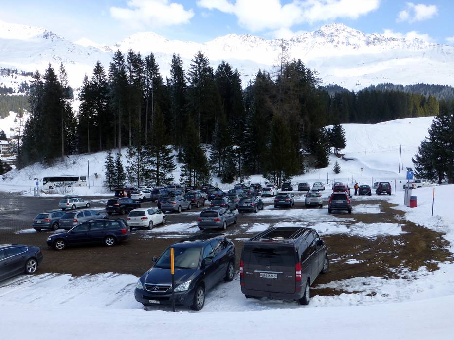
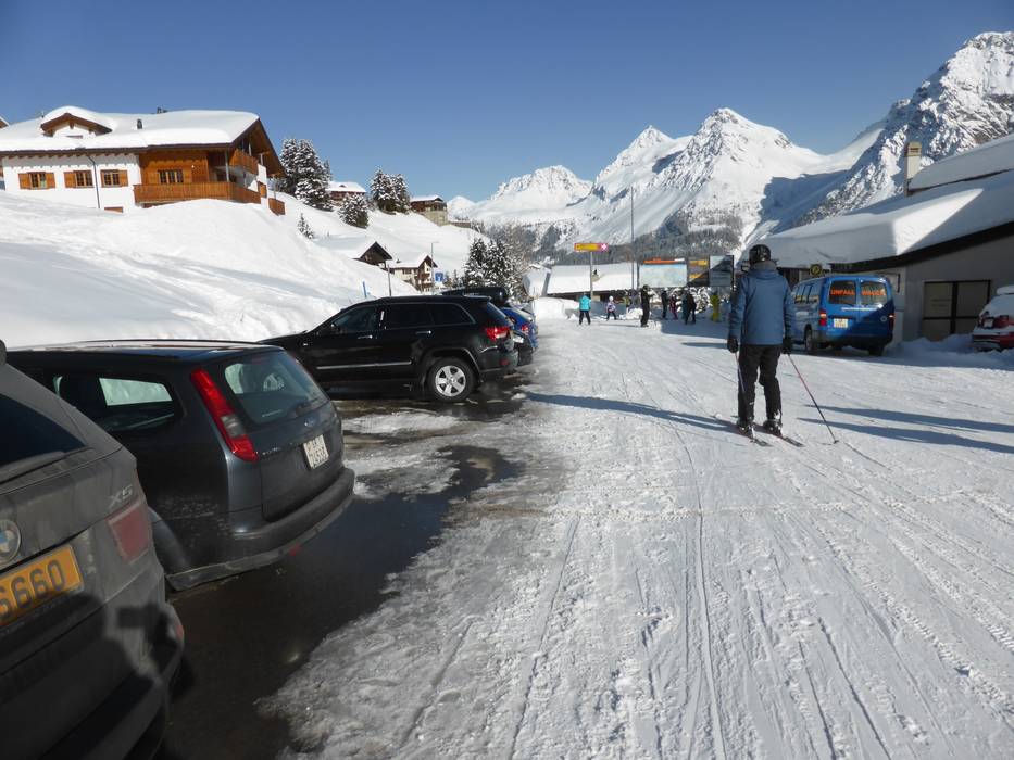
Rothornbahn 1 (Canols-Scharmoin) (Lenzerheide)
Ideal entry for day visitors
- Distance: 18 km
- approx. 25 Minutes driving time
Roads: Main street, Side road, Mountain road, well-developed, with significant incline
Parking spaces: usually enough available, tarmac car park, gravel car park, for a fee
View on Google Maps
Feedback for the Skiresort.info Team? Please use this form »


Select specific criteria
Top evaluation criteria
Further evaluation criteria
Access, on-site parking
Evaluation criteria for special interests
Test Reports


Tips for the ski holiday

