Orientation and safety in the ski resort Ankogel – Mallnitz
Trail map and overview maps
The piste map gives a very clear overview of the ski resort of Ankogel. All lifts and slopes are indicated. On the back, you can find additional information about the ski resorts in the Ski Hit Kärnten Osttirol ski pass network.
Information boards and sign-postings on the slopes
Information boards showing the current status of slopes are located prominently at ticket desks and at the mountain station and middle station. The slopes all have numbers. The only area where signposts are lacking is at junctions.
Trail map
Ankogel – Mallnitz Season 2023/2024
Information board showing updated statuses at the…
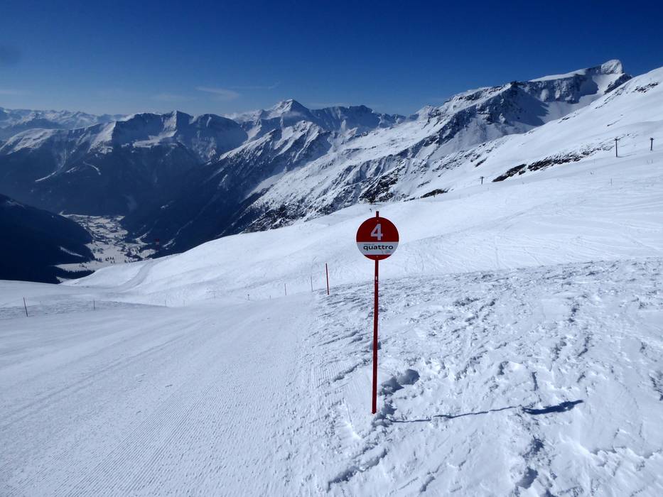
Slope numbering on the Ankogel
Information board showing updated statuses at the…
Information at the entrance of the Ankogelbahn…
Feedback for the Skiresort.info Team? Please use this form »
Please wait and do not close window. File will be transmitted.


")

